Mountains in United States
Eagle Peak
7,783 ft2,372 m
Mountain · Sierra Nevada · United States
Eagle Peak is the highest of the Three Brothers, a rock formation, above Yosemite Valley in California. This independent peak is located just east of El Capitan. John Muir considered the view from the summit to be "most comprehensive of all the views" available from the north wall.
From Wikipedia, CC BY-SA · Read the article
At the summit · forecast for 2:00 AM
29 °FCloudy · wind 4 mph from the E
 See it in 3D
Weather at the summit of Eagle Peak, 7,783 ft
- 2:00 AM29 °FE 4 mph–
- 5:00 AM31 °FE 5 mph–
- 8:00 AM33 °FE 6 mph–
- 11:00 AM47 °FS 7 mph–
- 2:00 PM45 °FSW 8 mph–
- 5:00 PM41 °FSW 4 mph–
- 8:00 PM37 °FSE 4 mph–
- 11:00 PM36 °FS 3 mph0.01 in
| Day | Sky | High / low | Rain | Wind up to |
|---|---|---|---|---|
| Today | Cloudy | 47 °F / 29 °F | – | 8 mph |
| Fri, Oct 30 | Light rain | 40 °F / 33 °F | 0.04 in | 8 mph |
| Sat, Oct 31 | Heavy rain | 42 °F / 33 °F | 0.77 in | 8 mph |
| Sun, Nov 1 | Mostly clear | 37 °F / 18 °F | 0.14 in | 6 mph |
| Mon, Nov 2 | Mostly clear | 54 °F / 17 °F | – | 4 mph |
| Tue, Nov 3 | Cloudy | 59 °F / 26 °F | – | 3 mph |
| Wed, Nov 4 | Partly cloudy | 58 °F / 27 °F | – | 3 mph |
Forecast by MET Norway (CC BY 4.0), updated 01:20 AM PDT. Times are local.
Facts
- What it is
- Mountain
- Height above sea level
- 7,783 ft (2,372 m)
- Prominence
- 379 ft (116 m)
- Range
- Sierra Nevada
- Country
- United States
- Coordinates
- 37.746°N 119.615°W
- Source
- Wikidata, CC0
Peaks near Eagle Peak
- Lost Arrow Spire6,657 ft · 2.2 km awayOn the map
- Grizzly Peak6,222 ft · 5.9 km awayOn the map
- Basket Dome7,612 ft · 5.9 km awayOn the map
- Mount Broderick6,706 ft · 7.2 km awayOn the map
- Half Dome8,835 ft · 7.2 km awayOn the map
- Liberty Cap7,080 ft · 7.5 km awayOn the map
- West Quarter Dome8,169 ft · 9.3 km awayOn the map
- Mount Starr King9,096 ft · 9.8 km awayOn the map
- Clouds Rest9,925 ft · 11 km awayOn the map
- Olmsted Point8,202 ft · 13 km awayOn the map
Highest in the Sierra Nevada
- Mount Whitney14,505 ftOn the map
- Mount Williamson14,403 ftOn the map
- Mount Russell14,094 ftOn the map
- Mount Langley14,032 ftOn the map
- Mount Tyndall14,025 ftOn the map
- Mount Humphreys13,992 ftOn the map
- Mount Keith13,982 ftOn the map
- Mount LeConte13,936 ftOn the map
- Eagle Peak7,783 ftOn the map
Highest mountains in United States
- Denali20,308 ftOn the map
- Mount Saint Elias18,009 ftOn the map
- Mount Foraker17,402 ftOn the map
- Mount Bona16,535 ftOn the map
- Mount Blackburn16,390 ftOn the map
- Mount Sanford16,237 ftOn the map
- Mount Vancouver15,787 ftOn the map
- Mount Churchill15,636 ftOn the map
- Mount Fairweather15,325 ftOn the map
- Mount Hubbard14,951 ftOn the map
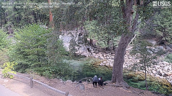
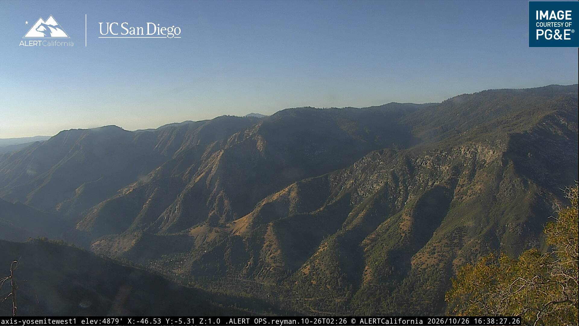
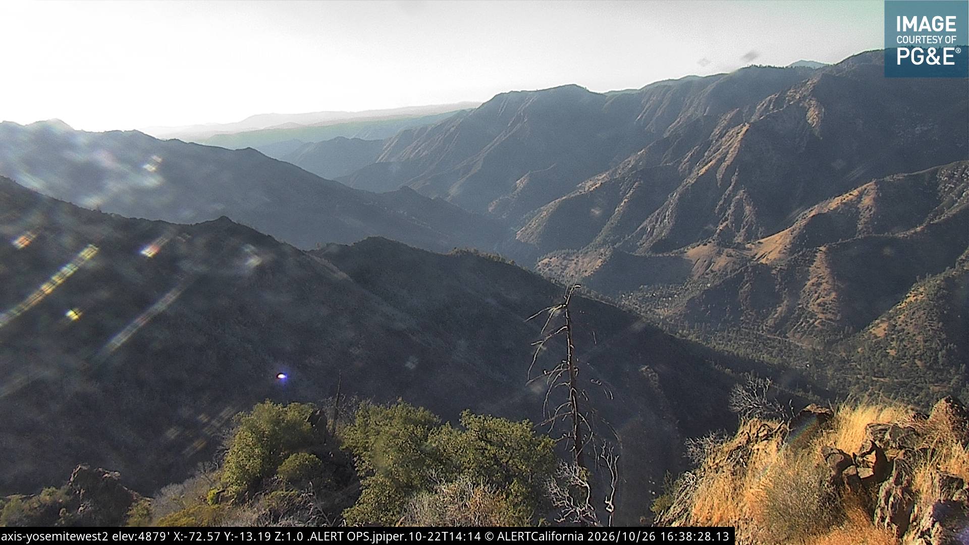
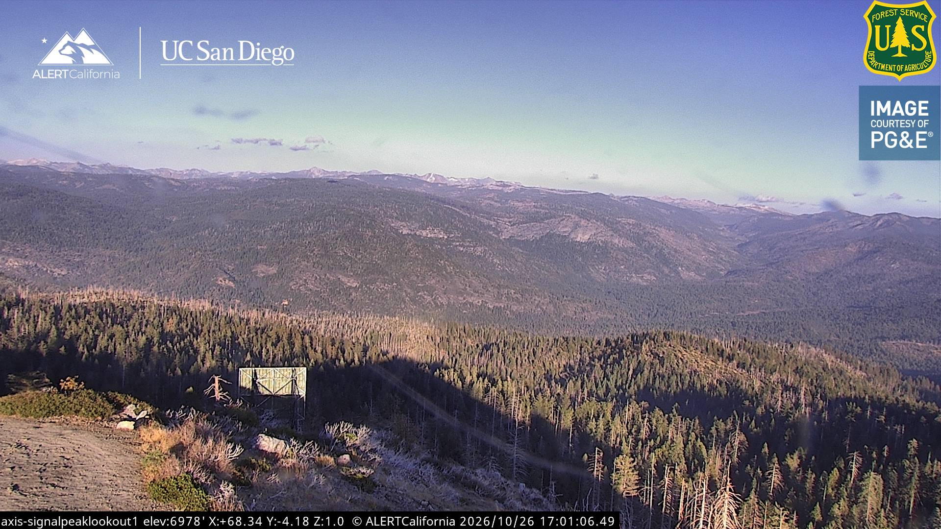
Webcams near Eagle Peak
History around Eagle Peak
- Dome Fire2026
- Pika Fire2023
- Red Fire2022
- Empire Fire2017
- Meadow Fire2014
- 1938 Yosemite TWA crash1938
Towns near Eagle Peak
- Mammoth Lakes57 km away
- Sonora72 km away