Glóðafeykir
910 m2986 ft
Montaña · Islandia
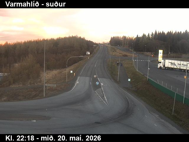
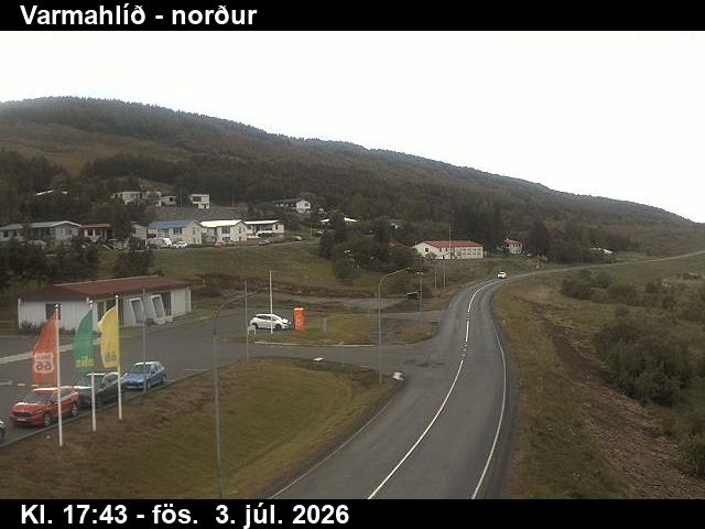
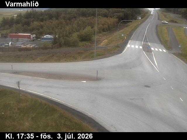
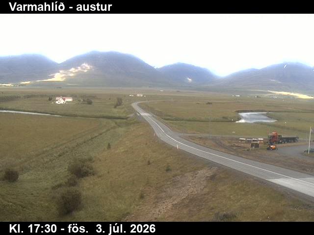
Glóðafeykir is a mountain in eastern Skagafjörður, Iceland in the middle of the Blönduhlíð mountain range, directly opposite Varmahlíð. Its shape is gabled and it is rather striking. The mountain is rocky towards the top, but is still fairly easy to hike.
De Wikipedia, CC BY-SA · Leer el artículo
En la cumbre · pronóstico para las 5:00
-3 °CNieve · viento de 9 km/h del O
 Verla en 3D
Clima en la cumbre de Glóðafeykir, 910 m
- 5:00-3 °CO 9 km/h2,4 mm
- 8:00-3 °CS 6 km/h0,7 mm
- 11:00-3 °CS 6 km/h0,2 mm
- 14:00-2 °CS 8 km/h–
- 17:00-2 °CS 6 km/h–
- 20:00-2 °CSE 6 km/h–
- 23:00-5 °CE 6 km/h–
- 2:00-6 °CE 9 km/h–
| Día | Cielo | Máx. / mín. | Lluvia | Viento hasta |
|---|---|---|---|---|
| Hoy | Nublado | -2 °C / -5 °C | 3,3 mm | 9 km/h |
| jue, 29 oct | Nublado | 2 °C / -6 °C | 2,1 mm | 12 km/h |
| vie, 30 oct | Mayormente despejado | -0 °C / -3 °C | 2,9 mm | 16 km/h |
| sáb, 31 oct | Parcialmente nublado | -2 °C / -4 °C | 0,2 mm | 14 km/h |
| dom, 1 nov | Aguanieve | 1 °C / -2 °C | 3 mm | 14 km/h |
| lun, 2 nov | Parcialmente nublado | 2 °C / 0 °C | 0,2 mm | 14 km/h |
| mar, 3 nov | Parcialmente nublado | 3 °C / -3 °C | 0,7 mm | 12 km/h |
Pronóstico de MET Norway (CC BY 4.0), actualizado a las 19:17 GMT. Horas locales.
Ficha técnica
- Tipo
- Montaña
- Altitud sobre el nivel del mar
- 910 m (2986 ft)
- País
- Islandia
- Coordenadas
- 65.568°N 19.269°W
- Fuente
- Wikidata, CC0
Glóðafeykir
Mountain in Skagafjörður, Iceland
Glóðafeykir is a mountain in eastern Skagafjörður, Iceland in the middle of the Blönduhlíð mountain range, directly opposite Varmahlíð. Its shape is gabled and it is rather striking. The mountain is rocky towards the top, but is still fairly easy to hike. Glóðafeykir, also often called Feykir or Feykirinn, is 910 meters tall.
De Wikipedia, CC BY-SA · Leer el artículo
Picos cerca de Glóðafeykir
- Mælifellshnjúkur1138 m · a 19 kmEn el mapa
- Molduxi706 m · a 26 kmEn el mapa
- Hraundrangi1075 m · a 31 kmEn el mapa
- Tindastóll989 m · a 37 kmEn el mapa
- Búrfellshyrna1091 m · a 39 kmEn el mapa
- Þverárfjall322 m · a 42 kmEn el mapa
- Kerling1538 m · a 46 kmEn el mapa
- Vatnsdalsfjall1018 m · a 46 kmEn el mapa
- Hlíðarfjall1100 m · a 47 kmEn el mapa
- Súlur1213 m · a 50 kmEn el mapa
Montañas más altas de Islandia
- Öræfajökull2110 mEn el mapa
- Tierras Altas de Islandia2110 mEn el mapa
- Hvannadalshnjúkur2110 mEn el mapa
- Bárðarbunga2010 mEn el mapa
- Kverkfjöll1933 mEn el mapa
- Hrútsfjallstindar1875 mEn el mapa
- Snæfell1833 mEn el mapa
- Esjufjöll1760 mEn el mapa
- Grímsvötn1725 mEn el mapa
- Herðubreið1682 mEn el mapa
Cámaras web cerca de Glóðafeykir
Historia alrededor de Glóðafeykir
Ciudades cerca de Glóðafeykir
- Akureyria 56 km