Glóðafeykir
910 m2,986 ft
Mountain · Iceland
Glóðafeykir is a mountain in eastern Skagafjörður, Iceland in the middle of the Blönduhlíð mountain range, directly opposite Varmahlíð. Its shape is gabled and it is rather striking. The mountain is rocky towards the top, but is still fairly easy to hike.
From Wikipedia, CC BY-SA · Read the article
At the summit · forecast for 6:00 AM
-1 °CSnow · wind 11 km/h from the N
 See it in 3D
Weather at the summit of Glóðafeykir, 910 m
- 6:00 AM-1 °CN 11 km/h0.7 mm
- 9:00 AM-1 °CN 11 km/h3.8 mm
- 12:00 PM-1 °CN 13 km/h0.2 mm
- 3:00 PM-1 °CNW 13 km/h0.2 mm
- 6:00 PM-2 °CNW 12 km/h1.9 mm
- 9:00 PM-2 °CNW 18 km/h2.9 mm
- 12:00 AM-3 °CNW 16 km/h1.5 mm
- 3:00 AM-3 °CW 13 km/h1.3 mm
| Day | Sky | High / low | Rain | Wind up to |
|---|---|---|---|---|
| Today | Light snow | -1 °C / -3 °C | 9.7 mm | 18 km/h |
| Wed, Oct 28 | Fog | -2 °C / -5 °C | 5 mm | 16 km/h |
| Thu, Oct 29 | Cloudy | 3 °C / -7 °C | 0.9 mm | 13 km/h |
| Fri, Oct 30 | Mostly clear | -0 °C / -4 °C | 1.1 mm | 11 km/h |
| Sat, Oct 31 | Partly cloudy | -1 °C / -4 °C | 1.3 mm | 17 km/h |
| Sun, Nov 1 | Snow | -0 °C / -1 °C | 5.8 mm | 16 km/h |
| Mon, Nov 2 | Sleet | 2 °C / -1 °C | 2 mm | 15 km/h |
Forecast by MET Norway (CC BY 4.0), updated 01:17 AM GMT. Times are local.
Facts
- What it is
- Mountain
- Height above sea level
- 910 m (2,986 ft)
- Country
- Iceland
- Coordinates
- 65.568°N 19.269°W
- Source
- Wikidata, CC0
Glóðafeykir
Mountain in Skagafjörður, Iceland
Glóðafeykir is a mountain in eastern Skagafjörður, Iceland in the middle of the Blönduhlíð mountain range, directly opposite Varmahlíð. Its shape is gabled and it is rather striking. The mountain is rocky towards the top, but is still fairly easy to hike. Glóðafeykir, also often called Feykir or Feykirinn, is 910 meters tall.
From Wikipedia, CC BY-SA · Read the article
Peaks near Glóðafeykir
- Mælifellshnjúkur1,138 m · 19 km awayOn the map
- Molduxi706 m · 26 km awayOn the map
- Hraundrangi1,075 m · 31 km awayOn the map
- Tindastóll989 m · 37 km awayOn the map
- Búrfellshyrna1,091 m · 39 km awayOn the map
- Þverárfjall322 m · 42 km awayOn the map
- Kerling1,538 m · 46 km awayOn the map
- Vatnsdalsfjall1,018 m · 46 km awayOn the map
- Hlíðarfjall1,100 m · 47 km awayOn the map
- Súlur1,213 m · 50 km awayOn the map
Highest mountains in Iceland
- Öræfajökull2,110 mOn the map
- Highlands of Iceland2,110 mOn the map
- Hvannadalshnúkur2,110 mOn the map
- Bárðarbunga2,010 mOn the map
- Kverkfjöll1,933 mOn the map
- Hrútsfjallstindar1,875 mOn the map
- Snæfell1,833 mOn the map
- Esjufjöll1,760 mOn the map
- Grímsvötn1,725 mOn the map
- Herðubreið1,682 mOn the map
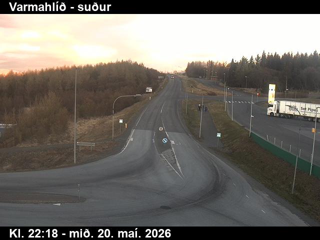
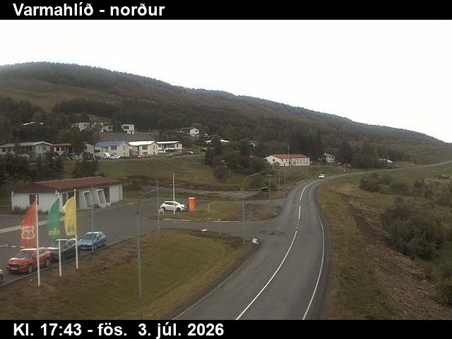
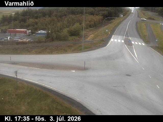
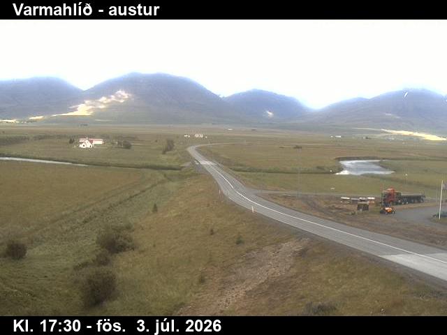
Webcams near Glóðafeykir
History around Glóðafeykir
Towns near Glóðafeykir
- Akureyri56 km away