Mælifellshnjúkur
1,138 m3,734 ft
Volcano · Iceland
Mælifellshnjúkur is a mountain on the inner western side of Skagafjörður, Iceland. It is 1,138 meters tall, It is one of the most prominent and best-known of Skagafjörður's mountains, towering over those nearby. The peak is allegedly visible from ten counties.
From Wikipedia, CC BY-SA · Read the article
At the summit · forecast for 8:00 PM
-4 °CCloudy · wind 4 km/h from the SE
 See it in 3D
Weather at the summit of Mælifellshnjúkur, 1,138 m
- 8:00 PM-4 °CSE 4 km/h–
- 11:00 PM-6 °CSE 13 km/h–
- 2:00 AM-6 °CSE 19 km/h–
- 5:00 AM-5 °CE 22 km/h0.5 mm
- 8:00 AM-2 °CE 31 km/h–
- 11:00 AM-1 °CSE 23 km/h0.2 mm
- 2:00 PM-0 °CS 12 km/h0.1 mm
- 5:00 PM-2 °CS 10 km/h–
| Day | Sky | High / low | Rain | Wind up to |
|---|---|---|---|---|
| Thu, Oct 29 | Light snow | 0 °C / -6 °C | 0.8 mm | 31 km/h |
| Fri, Oct 30 | Mostly clear | -2 °C / -5 °C | 0.1 mm | 29 km/h |
| Sat, Oct 31 | Partly cloudy | -3 °C / -5 °C | 1.2 mm | 33 km/h |
| Sun, Nov 1 | Snow | -1 °C / -3 °C | 4.4 mm | 13 km/h |
| Mon, Nov 2 | Cloudy | 1 °C / -0 °C | 0.9 mm | 13 km/h |
| Tue, Nov 3 | Cloudy | 2 °C / -2 °C | 0.8 mm | 18 km/h |
| Wed, Nov 4 | Partly cloudy | -1 °C / -4 °C | – | 21 km/h |
Forecast by MET Norway (CC BY 4.0), updated 05:19 PM GMT. Times are local.
Facts
- What it is
- Volcano
- Height above sea level
- 1,138 m (3,734 ft)
- Country
- Iceland
- Coordinates
- 65.400°N 19.366°W
- Source
- Wikidata, CC0
Mælifellshnjúkur
Mountain in Skagafjörður, Iceland
Mælifellshnjúkur is a mountain on the inner western side of Skagafjörður, Iceland. It is 1,138 meters tall, It is one of the most prominent and best-known of Skagafjörður's mountains, towering over those nearby. The peak is allegedly visible from ten counties. It also offers a good view, and is a popular spot for hiking, given that the climb is relatively easy.
From Wikipedia, CC BY-SA · Read the article
Peaks near Mælifellshnjúkur
- Glóðafeykir910 m · 19 km awayOn the map
- Molduxi706 m · 39 km awayOn the map
- Vatnsdalsfjall1,018 m · 40 km awayOn the map
- Hraundrangi1,075 m · 41 km awayOn the map
- Tindastóll989 m · 51 km awayOn the map
- Þverárfjall322 m · 52 km awayOn the map
- Kerling1,538 m · 54 km awayOn the map
- Búrfellshyrna1,091 m · 57 km awayOn the map
- Borgarvirki177 m · 57 km awayOn the map
- Hlíðarfjall1,100 m · 58 km awayOn the map
Highest mountains in Iceland
- Öræfajökull2,110 mOn the map
- Highlands of Iceland2,110 mOn the map
- Hvannadalshnúkur2,110 mOn the map
- Bárðarbunga2,010 mOn the map
- Kverkfjöll1,933 mOn the map
- Hrútsfjallstindar1,875 mOn the map
- Snæfell1,833 mOn the map
- Esjufjöll1,760 mOn the map
- Grímsvötn1,725 mOn the map
- Herðubreið1,682 mOn the map
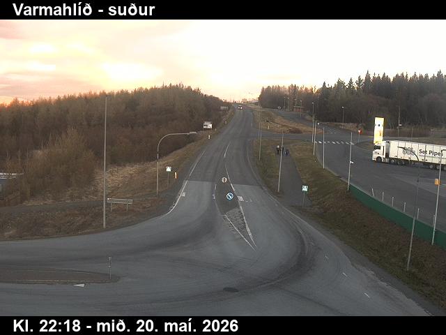
Webcams near Mælifellshnjúkur


History around Mælifellshnjúkur
Towns near Mælifellshnjúkur
- Akureyri67 km away