Griffin Butte
8411 ft2564 m
Montaña · Smoky Mountains · Estados Unidos
Griffin Butte, at 8,411 feet (2,564 m) above sea level is a peak in the Smoky Mountains of Idaho. The peak is located in Sawtooth National Forest in Blaine County northwest of Ketchum. It is located in the watershed of the Big Wood River.
De Wikipedia, CC BY-SA · Leer el artículo
En la cumbre · pronóstico para las 9:00
24 °FParcialmente nublado · viento de 3 mph del NO
Clima en la cumbre de Griffin Butte, 8411 ft
- 9:0024 °FNO 3 mph–
- 12:0032 °FSO 6 mph0 pulg.
- 15:0032 °FSO 7 mph–
- 18:0030 °FSO 6 mph–
- 21:0024 °FO 3 mph–
- 0:0019 °FN 5 mph–
- 3:0018 °FNO 6 mph–
- 6:0017 °FNO 5 mph–
| Día | Cielo | Máx. / mín. | Lluvia | Viento hasta |
|---|---|---|---|---|
| Hoy | Nublado | 33 °F / 20 °F | 0 pulg. | 8 mph |
| mié, 28 oct | Parcialmente nublado | 35 °F / 17 °F | – | 10 mph |
| jue, 29 oct | Parcialmente nublado | 40 °F / 19 °F | 0,04 pulg. | 7 mph |
| vie, 30 oct | Aguanieve | 33 °F / 27 °F | 0,29 pulg. | 5 mph |
| sáb, 31 oct | Aguanieve | 37 °F / 28 °F | 0,28 pulg. | 2 mph |
| dom, 1 nov | Parcialmente nublado | 32 °F / 17 °F | 0,46 pulg. | 7 mph |
| lun, 2 nov | Despejado | 32 °F / 8 °F | – | 5 mph |
Pronóstico de MET Norway (CC BY 4.0), actualizado a las 07:17 GMT-6. Horas locales.
Ficha técnica
- Tipo
- Montaña
- Altitud sobre el nivel del mar
- 8411 ft (2564 m)
- Prominencia
- 871 ft (266 m)
- Cordillera
- Smoky Mountains
- País
- Estados Unidos
- Coordenadas
- 43.730°N 114.420°W
- Fuente
- Wikidata, CC0
Griffin Butte
Mountain in the state of Idaho
Griffin Butte, at 8,411 feet (2,564 m) above sea level is a peak in the Smoky Mountains of Idaho. The peak is located in Sawtooth National Forest in Blaine County northwest of Ketchum. It is located in the watershed of the Big Wood River. It is about 1.75 mi (2.82 km) west of Idaho State Highway 75. No roads or trails go to the summit.
De Wikipedia, CC BY-SA · Leer el artículo
Picos cerca de Griffin Butte
- Bald Mountain9150 ft · a 8,4 kmEn el mapa
- Ryan Peak11.714 ft · a 19 kmEn el mapa
- Glassford Peak11.602 ft · a 21 kmEn el mapa
- Hyndman Peak12.009 ft · a 23 kmEn el mapa
- Saviers Peak10.441 ft · a 26 kmEn el mapa
- Big Peak10.047 ft · a 26 kmEn el mapa
- Camas County Highpoint10.337 ft · a 26 kmEn el mapa
- Titus Peak10.110 ft · a 26 kmEn el mapa
- Bromaghin Peak10.225 ft · a 26 kmEn el mapa
- Buttercup Mountain9079 ft · a 27 kmEn el mapa
Los más altos de Smoky Mountains
- Saviers Peak10.441 ftEn el mapa
- Norton Peak10.336 ftEn el mapa
- Baker Peak10.174 ftEn el mapa
- Big Peak10.047 ftEn el mapa
- Kelly Mountain8826 ftEn el mapa
- Griffin Butte8411 ftEn el mapa
Montañas más altas de Estados Unidos
- Denali20.308 ftEn el mapa
- Monte San Elías18.009 ftEn el mapa
- Monte Foraker17.402 ftEn el mapa
- Monte Bona16.535 ftEn el mapa
- Monte Blackburn16.390 ftEn el mapa
- Monte Sanford16.237 ftEn el mapa
- Monte Vancouver15.787 ftEn el mapa
- Monte Churchill15.636 ftEn el mapa
- Monte Fairweather15.325 ftEn el mapa
- Mount Hubbard14.951 ftEn el mapa
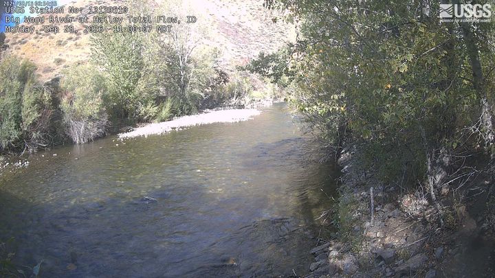
Cámaras web cerca de Griffin Butte
Ciudades cerca de Griffin Butte
- Sun Valleya 8,6 km
- Haileya 26 km
- Bellevuea 32 km
- Careya 60 km