Hag's Tooth, Kerry
650 m2133 ft
Montaña · Macgillicuddy's Reeks · Irlanda
The Hag's Tooth, at 650 metres (2,130 ft) high, is a sharp rock spike which is the 193rd highest peak in Ireland on the Vandeleur-Lynam scale. It is also known as Stumpeenadaff.
De Wikipedia, CC BY-SA · Leer el artículo
En la cumbre · pronóstico para las 1:00
8 °CLluvia débil · viento de 27 km/h del SO
 Verla en 3D
Clima en la cumbre de Hag's Tooth, Kerry, 650 m
- 1:008 °CSO 27 km/h0,3 mm
- 4:008 °CSO 23 km/h–
- 7:008 °CSO 18 km/h–
- 10:0010 °CSO 18 km/h0,5 mm
- 13:0011 °CSO 18 km/h0,2 mm
- 16:0010 °CSO 16 km/h–
- 19:009 °CS 17 km/h0,1 mm
- 22:008 °CS 20 km/h–
| Día | Cielo | Máx. / mín. | Lluvia | Viento hasta |
|---|---|---|---|---|
| Hoy | Nublado | 11 °C / 8 °C | 1,1 mm | 27 km/h |
| jue, 29 oct | Nublado | 10 °C / 8 °C | 0,6 mm | 32 km/h |
| vie, 30 oct | Lluvia fuerte | 12 °C / 9 °C | 32,9 mm | 30 km/h |
| sáb, 31 oct | Nublado | 10 °C / 7 °C | 3,4 mm | 10 km/h |
| dom, 1 nov | Mayormente despejado | 7 °C / 2 °C | – | 12 km/h |
| lun, 2 nov | Nublado | 9 °C / -0 °C | – | 10 km/h |
| mar, 3 nov | Parcialmente nublado | 10 °C / 3 °C | – | 17 km/h |
Pronóstico de MET Norway (CC BY 4.0), actualizado a las 23:17 GMT. Horas locales.
Ficha técnica
- Tipo
- Montaña
- Altitud sobre el nivel del mar
- 650 m (2133 ft)
- Prominencia
- 15 m (49 ft)
- Cordillera
- Macgillicuddy's Reeks
- País
- Irlanda
- Coordenadas
- 52.005°N 9.734°W
- Fuente
- Wikidata, CC0
Hag's Tooth, Kerry
Mountain in County Kerry, Ireland
The Hag's Tooth, at 650 metres (2,130 ft) high, is a sharp rock spike which is the 193rd highest peak in Ireland on the Vandeleur-Lynam scale. It is also known as Stumpeenadaff. The Hag's Tooth is situated in the Hag's Glen beside the Eagle's Nest corrie of Carrauntoohil and is part of the MacGillycuddy's Reeks in County Kerry.
De Wikipedia, CC BY-SA · Leer el artículo
Picos cerca de Hag's Tooth, Kerry
- Binn Chaorach1008 m · a 0,8 kmEn el mapa
- Carrantuohill1039 m · a 0,9 kmEn el mapa
- The Bones957 m · a 1 kmEn el mapa
- Cnoc na Toinne845 m · a 1,8 kmEn el mapa
- Cathair na Féinne1000 m · a 2 kmEn el mapa
- Cnoc an Chuillinn958 m · a 2,2 kmEn el mapa
- Caher West Top973 m · a 2,2 kmEn el mapa
- Maolán Buí973 m · a 2,6 kmEn el mapa
- Cnoc na Péiste988 m · a 2,8 kmEn el mapa
- The Big Gun939 m · a 3,1 kmEn el mapa
Los más altos de Macgillicuddy's Reeks
- Carrantuohill1039 mEn el mapa
- Hag's Tooth, Kerry650 mEn el mapa
Montañas más altas de Irlanda
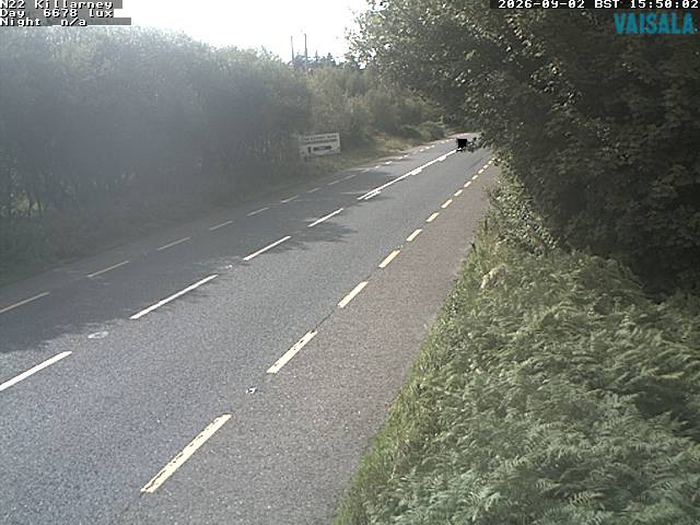
Cámaras web cerca de Hag's Tooth, Kerry
Ciudades cerca de Hag's Tooth, Kerry
- Traleea 30 km