アイルランドの山
Hag's Tooth, Kerry
650 m2,133 ft
山 · MacGillycuddy's Reeks · アイルランド
The Hag's Tooth, at 650 metres (2,130 ft) high, is a sharp rock spike which is the 193rd highest peak in Ireland on the Vandeleur-Lynam scale. It is also known as Stumpeenadaff.
出典: Wikipedia、CC BY-SA · 記事を読む
山頂 · 1:00 の予報
8 °C小雨 · 南西の風 27 km/h
 3D で見る
Hag's Tooth, Kerry 山頂の天気(650 m)
- 1:008 °C南西 27 km/h0.3 mm
- 4:008 °C南西 23 km/h–
- 7:008 °C南西 18 km/h–
- 10:0010 °C南西 18 km/h0.5 mm
- 13:0011 °C南西 18 km/h0.2 mm
- 16:0010 °C南西 16 km/h–
- 19:009 °C南 17 km/h0.1 mm
- 22:008 °C南 20 km/h–
| 日付 | 天気 | 最高 / 最低 | 雨 | 最大風速 |
|---|---|---|---|---|
| 今日 | 曇り | 11 °C / 8 °C | 1.1 mm | 27 km/h |
| 10月29日(木) | 曇り | 10 °C / 8 °C | 0.6 mm | 32 km/h |
| 10月30日(金) | 強い雨 | 12 °C / 9 °C | 32.9 mm | 30 km/h |
| 10月31日(土) | 曇り | 10 °C / 7 °C | 3.4 mm | 10 km/h |
| 11月1日(日) | 晴れ | 7 °C / 2 °C | – | 12 km/h |
| 11月2日(月) | 曇り | 9 °C / -0 °C | – | 10 km/h |
| 11月3日(火) | 晴れ時々曇り | 10 °C / 3 °C | – | 17 km/h |
MET Norway(CC BY 4.0)による予報。23:18 GMT 更新。時刻は現地時間です。
基本データ
- 種類
- 山
- 標高
- 650 m (2,133 ft)
- プロミネンス
- 15 m (49 ft)
- 山脈
- MacGillycuddy's Reeks
- 座標
- 52.005°N 9.734°W
Hag's Tooth, Kerry
Mountain in County Kerry, Ireland
The Hag's Tooth, at 650 metres (2,130 ft) high, is a sharp rock spike which is the 193rd highest peak in Ireland on the Vandeleur-Lynam scale. It is also known as Stumpeenadaff. The Hag's Tooth is situated in the Hag's Glen beside the Eagle's Nest corrie of Carrauntoohil and is part of the MacGillycuddy's Reeks in County Kerry.
出典: Wikipedia、CC BY-SA · 記事を読む
Hag's Tooth, Kerry周辺の山
- Beenkeragh1,008 m · 0.8 km先地図上
- キャラントゥール山1,039 m · 0.9 km先地図上
- The Bones957 m · 1 km先地図上
- Cnoc na Toinne845 m · 1.8 km先地図上
- Caher1,000 m · 2 km先地図上
- Cnoc an Chuillinn958 m · 2.2 km先地図上
- Caher West Top973 m · 2.2 km先地図上
- Maolán Buí973 m · 2.6 km先地図上
- Cnoc na Péiste988 m · 2.8 km先地図上
- The Big Gun939 m · 3.1 km先地図上
MacGillycuddy's Reeksの最高峰
アイルランドの高い山
- キャラントゥール山1,039 m地図上
- ブランドン山952 m地図上
- ラグナキリア山925 m地図上
- ギャルティー山脈918 m地図上
- Baurtregaum851 m地図上
- Mullaghcleevaun849 m地図上
- Mangerton Mountain838 m地図上
- Purple Mountain832 m地図上
- ビーノスキー826 m地図上
- Mweelrea814 m地図上
Hag's Tooth, Kerry周辺のライブカメラ
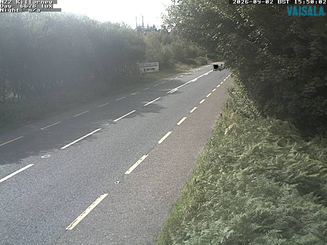
Hag's Tooth, Kerry周辺の町
- トラリー30 km先