Mweelrea
814 m2,671 ft
山 · アイルランド
Mweelrea is a mountain on the Atlantic coast of County Mayo, Ireland. Rising to 814 metres (2,671 ft), it is the highest mountain in the western province of Connacht, and is noted for its southeastern cliff-lined corries, and its views.
出典: Wikipedia、CC BY-SA · 記事を読む
山頂 · 6:00 の予報
4 °C強い雨 · 西の風 48 km/h
 3D で見る
Mweelrea 山頂の天気(814 m)
- 6:004 °C西 48 km/h2.4 mm
- 9:005 °C西 37 km/h2 mm
- 12:005 °C西 40 km/h0.9 mm
- 15:005 °C西 39 km/h0.5 mm
- 18:004 °C南西 39 km/h1 mm
- 21:006 °C南西 42 km/h1.3 mm
- 0:007 °C南西 41 km/h1.1 mm
- 3:007 °C西 40 km/h0.9 mm
| 日付 | 天気 | 最高 / 最低 | 雨 | 最大風速 |
|---|---|---|---|---|
| 今日 | 小雨 | 7 °C / 4 °C | 8.1 mm | 48 km/h |
| 10月28日(水) | 小雨 | 9 °C / 7 °C | 5.1 mm | 41 km/h |
| 10月29日(木) | 曇り | 9 °C / 7 °C | 9.4 mm | 38 km/h |
| 10月30日(金) | 晴れ時々曇り | 9 °C / 5 °C | 2 mm | 27 km/h |
| 10月31日(土) | 晴れ時々曇り | 8 °C / 4 °C | 0.3 mm | 14 km/h |
| 11月1日(日) | 曇り | 7 °C / 4 °C | – | 7 km/h |
| 11月2日(月) | 晴れ時々曇り | 5 °C / 1 °C | – | 14 km/h |
MET Norway(CC BY 4.0)による予報。01:17 GMT 更新。時刻は現地時間です。
基本データ
- 種類
- 山
- 標高
- 814 m (2,671 ft)
- プロミネンス
- 779 m (2,556 ft)
- 座標
- 53.636°N 9.831°W
Mweelrea
Mountain in Mayo, Ireland
Mweelrea is a mountain on the Atlantic coast of County Mayo, Ireland. Rising to 814 metres (2,671 ft), it is the highest mountain in the western province of Connacht, and is noted for its southeastern cliff-lined corries, and its views. Mweelrea overlooks Killary Harbour and is at the heart of a "horseshoe-shaped" massif that includes the peaks of Ben Lugmore and Ben Bury.
出典: Wikipedia、CC BY-SA · 記事を読む
Mweelrea周辺の山
- Ben Lugmore803 m · 2.3 km先地図上
- Barrclashcame772 m · 6.6 km先地図上
- Ben Gorm700 m · 7.4 km先地図上
- Diamond Hill442 m · 11 km先地図上
- Leenaun Hill618 m · 11 km先地図上
- Benbaun729 m · 13 km先地図上
- Tully Mountain356 m · 13 km先地図上
- Devilsmother645 m · 13 km先地図上
- Letterbreckaun667 m · 13 km先地図上
- Bencollaghduff696 m · 14 km先地図上
アイルランドの高い山
- キャラントゥール山1,039 m地図上
- ブランドン山952 m地図上
- ラグナキリア山925 m地図上
- ギャルティー山脈918 m地図上
- Baurtregaum851 m地図上
- Mullaghcleevaun849 m地図上
- Mangerton Mountain838 m地図上
- Purple Mountain832 m地図上
- ビーノスキー826 m地図上
- Mweelrea814 m地図上
Mweelrea周辺のライブカメラ
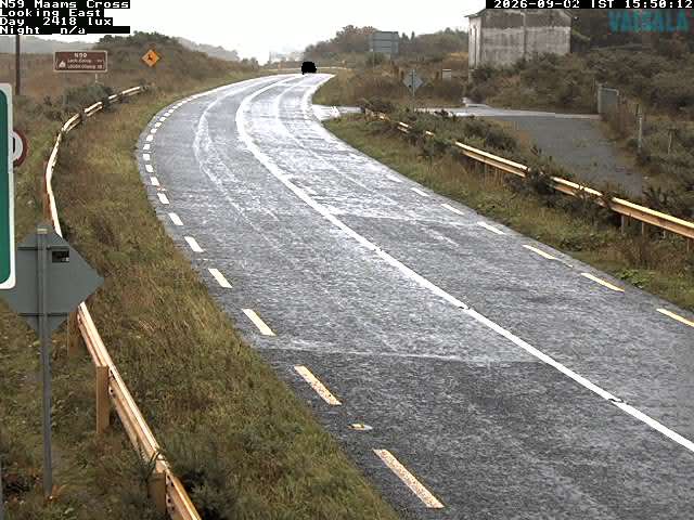

Mweelrea周辺の歴史
Mweelrea周辺の町
- ゴールウェイ66 km先