Mweelrea
814 米2,671 英尺
山 · 爱尔兰
Mweelrea is a mountain on the Atlantic coast of County Mayo, Ireland. Rising to 814 metres (2,671 ft), it is the highest mountain in the western province of Connacht, and is noted for its southeastern cliff-lined corries, and its views.
来自Wikipedia,CC BY-SA · 阅读文章
山顶 · 7:00 的预报
4 °C小雨 · 西风 42 km/h
 3D 查看
Mweelrea山顶天气,814 米
- 7:004 °C西 42 km/h1.1 mm
- 10:006 °C西 40 km/h2 mm
- 13:006 °C西 44 km/h0.9 mm
- 16:006 °C西 42 km/h0.9 mm
- 19:005 °C西南 36 km/h1 mm
- 22:006 °C西南 45 km/h1.2 mm
- 1:007 °C西南 38 km/h1.3 mm
- 4:007 °C西南 39 km/h0.6 mm
| 日期 | 天气 | 最高 / 最低 | 雨 | 最大风速 |
|---|---|---|---|---|
| 今天 | 小雨 | 7 °C / 4 °C | 6.8 mm | 45 km/h |
| 10月28日周三 | 小雨 | 9 °C / 7 °C | 5.1 mm | 41 km/h |
| 10月29日周四 | 阴 | 9 °C / 7 °C | 9.4 mm | 38 km/h |
| 10月30日周五 | 多云 | 9 °C / 5 °C | 2 mm | 27 km/h |
| 10月31日周六 | 多云 | 8 °C / 4 °C | 0.3 mm | 14 km/h |
| 11月1日周日 | 阴 | 7 °C / 4 °C | – | 7 km/h |
| 11月2日周一 | 多云 | 5 °C / 1 °C | – | 14 km/h |
预报来自 MET Norway(CC BY 4.0),更新于 GMT 05:20。时间均为当地时间。
基本信息
Mweelrea
Mountain in Mayo, Ireland
Mweelrea is a mountain on the Atlantic coast of County Mayo, Ireland. Rising to 814 metres (2,671 ft), it is the highest mountain in the western province of Connacht, and is noted for its southeastern cliff-lined corries, and its views. Mweelrea overlooks Killary Harbour and is at the heart of a "horseshoe-shaped" massif that includes the peaks of Ben Lugmore and Ben Bury.
来自Wikipedia,CC BY-SA · 阅读文章
Mweelrea附近的山峰
- Ben Lugmore803 米 · 2.3 公里外地图上
- Barrclashcame772 米 · 6.6 公里外地图上
- Ben Gorm700 米 · 7.4 公里外地图上
- Diamond Hill442 米 · 11 公里外地图上
- Leenaun Hill618 米 · 11 公里外地图上
- Benbaun729 米 · 13 公里外地图上
- Tully Mountain356 米 · 13 公里外地图上
- Devilsmother645 米 · 13 公里外地图上
- Letterbreckaun667 米 · 13 公里外地图上
- Bencollaghduff696 米 · 14 公里外地图上
爱尔兰最高的山
- 卡朗圖厄爾山1,039 米地图上
- 布蘭登山952 米地图上
- Lugnaquilla925 米地图上
- Galtymore918 米地图上
- Baurtregaum851 米地图上
- Mullaghcleevaun849 米地图上
- Mangerton山838 米地图上
- Shehy山832 米地图上
- Beenoskee826 米地图上
- Mweelrea814 米地图上
Mweelrea附近的网络摄像头
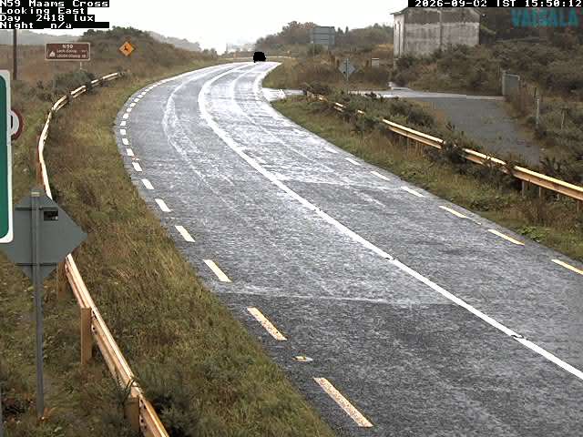

Mweelrea周边的历史
Mweelrea附近的城镇
- 戈尔韦66 公里外