爱尔兰的山
Devilsmother
645 米2,116 英尺
山 · Partry Mountains · 爱尔兰
Devilsmother is a 645-metre-high (2,116 ft) mountain in Connemara, Ireland. Devilsmother is in the Partry Mountains, at the head of Killary Harbour, overlooking the Western Way long-distance path. It sits on the border between County Galway and County Mayo.
来自Wikipedia,CC BY-SA · 阅读文章
山顶 · 23:00 的预报
6 °C小雨 · 西南风 34 km/h
 3D 查看
Devilsmother山顶天气,645 米
- 23:006 °C西南 34 km/h0.7 mm
- 2:005 °C西南 41 km/h1.5 mm
- 5:004 °C西 35 km/h0.8 mm
- 8:005 °C西 32 km/h0.8 mm
- 11:006 °C西 35 km/h1.3 mm
- 14:006 °C西 33 km/h0.8 mm
- 17:005 °C西南 28 km/h1.1 mm
- 20:006 °C西南 26 km/h2.5 mm
| 日期 | 天气 | 最高 / 最低 | 雨 | 最大风速 |
|---|---|---|---|---|
| 10月27日周二 | 中雨 | 8 °C / 4 °C | 10.1 mm | 41 km/h |
| 10月28日周三 | 小雨 | 10 °C / 8 °C | 3.9 mm | 34 km/h |
| 10月29日周四 | 小雨 | 9 °C / 7 °C | 8.2 mm | 28 km/h |
| 10月30日周五 | 晴 | 10 °C / 4 °C | 3.8 mm | 22 km/h |
| 10月31日周六 | 少云 | 6 °C / 2 °C | – | 5 km/h |
| 11月1日周日 | 阴 | 7 °C / 3 °C | – | 9 km/h |
| 11月2日周一 | 晴 | 5 °C / 2 °C | – | 12 km/h |
预报来自 MET Norway(CC BY 4.0),更新于 GMT 19:16。时间均为当地时间。
基本信息
Devilsmother附近的山峰
- Maumtrasna682 米 · 4.8 公里外地图上
- Leenaun Hill618 米 · 5.1 公里外地图上
- Ben Gorm700 米 · 6 公里外地图上
- Letterbreckaun667 米 · 9.3 公里外地图上
- Barrclashcame772 米 · 9.7 公里外地图上
- Knocknahillion607 米 · 9.7 公里外地图上
- Binn idir an dá Log702 米 · 9.9 公里外地图上
- Binn Chaonaigh633 米 · 11 公里外地图上
- Ben Lugmore803 米 · 11 公里外地图上
- Binn Mhór661 米 · 13 公里外地图上
爱尔兰最高的山
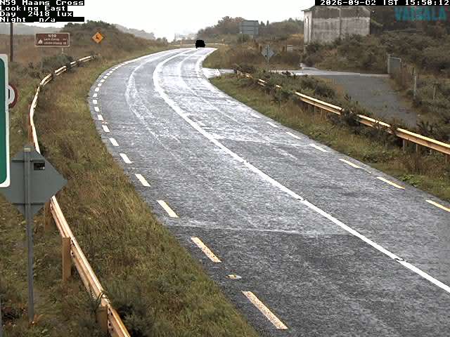
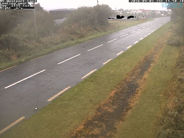
Devilsmother附近的网络摄像头

Devilsmother周边的历史
Devilsmother附近的城镇
- 戈尔韦53 公里外