Binn idir an dá Log
702 米2,303 英尺
山 · Maumturks · 爱尔兰
Binn idir an Dá Log, sometimes anglicized Benadolug, at 702 metres (2,303 ft), is the highest of the Maumturk Mountains in Connemara in County Galway, Ireland. It is at the middle of the long north-west to south-east central spine of the range.
来自Wikipedia,CC BY-SA · 阅读文章
Maumturks的最高点
山顶 · 8:00 的预报
8 °C阴 · 南风 24 km/h
 3D 查看
Binn idir an dá Log山顶天气,702 米
- 8:008 °C南 24 km/h–
- 11:009 °C东南 27 km/h–
- 14:0010 °C东南 33 km/h–
- 17:009 °C东南 31 km/h–
- 20:008 °C东南 31 km/h–
- 23:009 °C东南 31 km/h0.5 mm
- 2:009 °C南 31 km/h0.5 mm
- 5:0010 °C南 29 km/h–
| 日期 | 天气 | 最高 / 最低 | 雨 | 最大风速 |
|---|---|---|---|---|
| 今天 | 阴 | 11 °C / 8 °C | – | 34 km/h |
| 10月30日周五 | 中雨 | 11 °C / 9 °C | 9.2 mm | 31 km/h |
| 10月31日周六 | 小雨 | 9 °C / 7 °C | 1.1 mm | 16 km/h |
| 11月1日周日 | 晴 | 7 °C / 2 °C | – | 13 km/h |
| 11月2日周一 | 晴 | 6 °C / 1 °C | – | 12 km/h |
| 11月3日周二 | 阴 | 5 °C / 1 °C | – | 8 km/h |
| 11月4日周三 | 阴 | 7 °C / 4 °C | – | 12 km/h |
预报来自 MET Norway(CC BY 4.0),更新于 GMT 01:17。时间均为当地时间。
基本信息
Binn idir an dá Log
Mountain in Galway, Ireland
Binn idir an Dá Log, sometimes anglicized Benadolug, at 702 metres (2,303 ft), is the highest of the Maumturk Mountains in Connemara in County Galway, Ireland. It is at the middle of the long north-west to south-east central spine of the range. The summit is the 87th-highest peak in Ireland on the Arderin list, and the 108th-highest on the Vandeleur-Lynam list.
来自Wikipedia,CC BY-SA · 阅读文章
Binn idir an dá Log附近的山峰
- Binn Chaonaigh633 米 · 1.8 公里外地图上
- Knocknahillion607 米 · 2 公里外地图上
- Letterbreckaun667 米 · 3.9 公里外地图上
- Binn Mhór661 米 · 4.6 公里外地图上
- Mullach Glas622 米 · 6.1 公里外地图上
- Leenaun Hill618 米 · 6.7 公里外地图上
- Corcogemore609 米 · 7.4 公里外地图上
- Bencorr711 米 · 8.3 公里外地图上
- Bencollaghduff696 米 · 9 公里外地图上
- Devilsmother645 米 · 9.9 公里外地图上
Maumturks最高峰
- Binn idir an dá Log702 米地图上
- Letterbreckaun667 米地图上
- Binn Mhór661 米地图上
- Leenaun Hill618 米地图上
- Lackavrea396 米地图上
爱尔兰最高的山
Binn idir an dá Log附近的网络摄像头
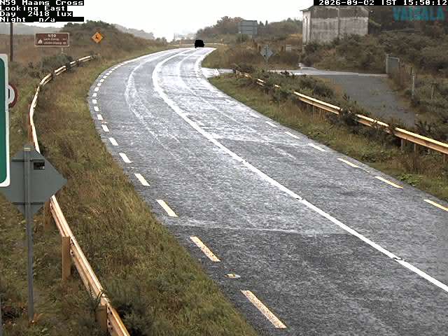
Binn idir an dá Log周边的历史
Binn idir an dá Log附近的城镇
- 戈尔韦49 公里外