Binn idir an dá Log
702 m2 303 ft
Montagne · Maumturks · Irlande
Binn idir an Dá Log, sometimes anglicized Benadolug, at 702 metres (2,303 ft), is the highest of the Maumturk Mountains in Connemara in County Galway, Ireland. It is at the middle of the long north-west to south-east central spine of the range.
Source : Wikipedia, CC BY-SA · Lire l’article
Le point culminant de Maumturks
Au sommet · prévision pour 12:00
9 °CPluie · vent 23 km/h du SO
 Voir en 3D
Météo au sommet : Binn idir an dá Log, 702 m
- 12:009 °CSO 23 km/h0,7 mm
- 15:009 °CSO 22 km/h0,5 mm
- 18:008 °CSO 18 km/h0,2 mm
- 21:008 °CS 22 km/h0,5 mm
- 0:008 °CS 22 km/h0,6 mm
- 3:007 °CS 22 km/h0,1 mm
- 6:007 °CS 24 km/h–
- 9:008 °CS 26 km/h–
| Jour | Ciel | Max. / min. | Pluie | Vent jusqu’à |
|---|---|---|---|---|
| jeu. 29 oct. | Nuageux | 10 °C / 7 °C | 0,7 mm | 32 km/h |
| ven. 30 oct. | Pluie forte | 11 °C / 9 °C | 20,3 mm | 31 km/h |
| sam. 31 oct. | Pluie | 9 °C / 7 °C | 5,4 mm | 15 km/h |
| dim. 1 nov. | Dégagé | 7 °C / 4 °C | – | 14 km/h |
| lun. 2 nov. | Partiellement nuageux | 7 °C / 3 °C | 0,2 mm | 14 km/h |
| mar. 3 nov. | Plutôt dégagé | 5 °C / 2 °C | – | 9 km/h |
| mer. 4 nov. | Nuageux | 6 °C / 1 °C | – | 10 km/h |
Prévisions de MET Norway (CC BY 4.0), mises à jour à 11:19 UTC. Heures locales.
Fiche technique
- Type
- Montagne
- Altitude
- 702 m (2 303 ft)
- Proéminence
- 644 m (2 113 ft)
- Massif
- Maumturks
- Pays
- Irlande
- Point culminant de
- Maumturks
- Coordonnées
- 53.514°N 9.677°W
- Source
- Wikidata, CC0
Binn idir an dá Log
Mountain in Galway, Ireland
Binn idir an Dá Log, sometimes anglicized Benadolug, at 702 metres (2,303 ft), is the highest of the Maumturk Mountains in Connemara in County Galway, Ireland. It is at the middle of the long north-west to south-east central spine of the range. The summit is the 87th-highest peak in Ireland on the Arderin list, and the 108th-highest on the Vandeleur-Lynam list.
Source : Wikipedia, CC BY-SA · Lire l’article
Sommets près de Binn idir an dá Log
- Binn Chaonaigh633 m · à 1,8 kmSur la carte
- Knocknahillion607 m · à 2 kmSur la carte
- Letterbreckaun667 m · à 3,9 kmSur la carte
- Binn Mhór661 m · à 4,6 kmSur la carte
- Mullach Glas622 m · à 6,1 kmSur la carte
- Leenaun Hill618 m · à 6,7 kmSur la carte
- Corcogemore609 m · à 7,4 kmSur la carte
- Bencorr711 m · à 8,3 kmSur la carte
- Bencollaghduff696 m · à 9 kmSur la carte
- Devilsmother645 m · à 9,9 kmSur la carte
Les plus hauts : Maumturks
- Binn idir an dá Log702 mSur la carte
- Letterbreckaun667 mSur la carte
- Binn Mhór661 mSur la carte
- Leenaun Hill618 mSur la carte
- Lackavrea396 mSur la carte
Plus hautes montagnes : Irlande
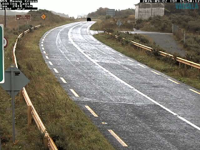
Webcams près de Binn idir an dá Log
Histoire autour de Binn idir an dá Log
Villes près de Binn idir an dá Log
- Galwayà 49 km