Corcogemore
609 m1 998 ft
Montagne · Maumturks · Irlande
Corcogemore at 609 metres (1,998 ft), is the 208th–highest peak in Ireland on the Arderin scale, and the 253rd–highest peak on the Vandeleur-Lynam scale.
Source : Wikipedia, CC BY-SA · Lire l’article
Au sommet · prévision pour 21:00
7 °CPluie forte · vent 30 km/h du SO
 Voir en 3D
Météo au sommet : Corcogemore, 609 m
- 21:007 °CSO 30 km/h4 mm
- 0:008 °CSO 33 km/h1,3 mm
- 3:008 °CO 32 km/h0,2 mm
- 6:008 °CSO 24 km/h0,1 mm
- 9:009 °CSO 21 km/h0,7 mm
- 12:0010 °CSO 24 km/h0,2 mm
- 15:0010 °CSO 22 km/h0,5 mm
- 18:009 °CSO 17 km/h0,5 mm
| Jour | Ciel | Max. / min. | Pluie | Vent jusqu’à |
|---|---|---|---|---|
| mer. 28 oct. | Nuageux | 10 °C / 8 °C | 4 mm | 33 km/h |
| jeu. 29 oct. | Nuageux | 11 °C / 8 °C | 2,5 mm | 31 km/h |
| ven. 30 oct. | Plutôt dégagé | 10 °C / 6 °C | 11,5 mm | 29 km/h |
| sam. 31 oct. | Pluie faible | 10 °C / 7 °C | 11,8 mm | 13 km/h |
| dim. 1 nov. | Partiellement nuageux | 8 °C / 5 °C | – | 16 km/h |
| lun. 2 nov. | Nuageux | 8 °C / 5 °C | – | 21 km/h |
| mar. 3 nov. | Nuageux | 9 °C / 5 °C | 0,3 mm | 18 km/h |
Prévisions de MET Norway (CC BY 4.0), mises à jour à 17:17 UTC. Heures locales.
Fiche technique
- Type
- Montagne
- Altitude
- 609 m (1 998 ft)
- Proéminence
- 221 m (725 ft)
- Massif
- Maumturks
- Pays
- Irlande
- Coordonnées
- 53.482°N 9.578°W
- Source
- Wikidata, CC0
Corcogemore
Mountain in County Galway, Ireland
Corcogemore at 609 metres (1,998 ft), is the 208th–highest peak in Ireland on the Arderin scale, and the 253rd–highest peak on the Vandeleur-Lynam scale. Corcogemore is located on a small massif that includes Binn Mhór, and Mullach Glas ; this massif is situated at the far southeastern sector of the long north-west to south-east central spine of the Maumturks mountain range in the Connemara National Park in County Ga…
Source : Wikipedia, CC BY-SA · Lire l’article
Sommets près de Corcogemore
- Mullach Glas622 m · à 1,5 kmSur la carte
- Lackavrea396 m · à 3,1 kmSur la carte
- Binn Mhór661 m · à 3,4 kmSur la carte
- Binn Chaonaigh633 m · à 5,7 kmSur la carte
- Binn idir an dá Log702 m · à 7,4 kmSur la carte
- Knocknahillion607 m · à 9,4 kmSur la carte
- Letterbreckaun667 m · à 11 kmSur la carte
- Leenaun Hill618 m · à 13 kmSur la carte
- Devilsmother645 m · à 14 kmSur la carte
- Maumtrasna682 m · à 14 kmSur la carte
Les plus hauts : Maumturks
- Binn idir an dá Log702 mSur la carte
- Letterbreckaun667 mSur la carte
- Binn Mhór661 mSur la carte
- Leenaun Hill618 mSur la carte
- Corcogemore609 mSur la carte
- Lackavrea396 mSur la carte
Plus hautes montagnes : Irlande
Webcams près de Corcogemore
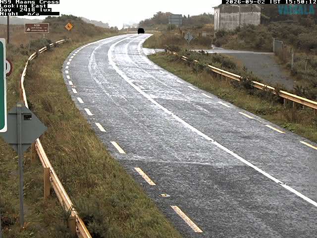
Histoire autour de Corcogemore
Villes près de Corcogemore
- Galwayà 42 km