Corcogemore
609 m1,998 ft
Mountain · Maumturks · Ireland
Corcogemore at 609 metres (1,998 ft), is the 208th–highest peak in Ireland on the Arderin scale, and the 253rd–highest peak on the Vandeleur-Lynam scale.
From Wikipedia, CC BY-SA · Read the article
At the summit · forecast for 4:00 AM
8 °CLight rain · wind 28 km/h from the W
 See it in 3D
Weather at the summit of Corcogemore, 609 m
- 4:00 AM8 °CW 28 km/h0.4 mm
- 7:00 AM8 °CSW 22 km/h0.1 mm
- 10:00 AM9 °CSW 22 km/h0.4 mm
- 1:00 PM10 °CSW 24 km/h0.3 mm
- 4:00 PM9 °CSW 20 km/h0.3 mm
- 7:00 PM9 °CS 19 km/h0.3 mm
- 10:00 PM9 °CS 20 km/h0.6 mm
- 1:00 AM8 °CS 22 km/h0.5 mm
| Day | Sky | High / low | Rain | Wind up to |
|---|---|---|---|---|
| Today | Cloudy | 10 °C / 8 °C | 2.2 mm | 28 km/h |
| Thu, Oct 29 | Cloudy | 11 °C / 8 °C | 0.7 mm | 31 km/h |
| Fri, Oct 30 | Rain | 11 °C / 8 °C | 16.2 mm | 31 km/h |
| Sat, Oct 31 | Cloudy | 10 °C / 5 °C | 7.7 mm | 13 km/h |
| Sun, Nov 1 | Clear | 7 °C / 4 °C | – | 12 km/h |
| Mon, Nov 2 | Clear | 6 °C / 2 °C | – | 12 km/h |
| Tue, Nov 3 | Partly cloudy | 7 °C / 3 °C | – | 10 km/h |
Forecast by MET Norway (CC BY 4.0), updated 01:17 AM GMT. Times are local.
Facts
- What it is
- Mountain
- Height above sea level
- 609 m (1,998 ft)
- Prominence
- 221 m (725 ft)
- Range
- Maumturks
- Country
- Ireland
- Coordinates
- 53.482°N 9.578°W
- Source
- Wikidata, CC0
Corcogemore
Mountain in County Galway, Ireland
Corcogemore at 609 metres (1,998 ft), is the 208th–highest peak in Ireland on the Arderin scale, and the 253rd–highest peak on the Vandeleur-Lynam scale. Corcogemore is located on a small massif that includes Binn Mhór, and Mullach Glas ; this massif is situated at the far southeastern sector of the long north-west to south-east central spine of the Maumturks mountain range in the Connemara National Park in County Ga…
From Wikipedia, CC BY-SA · Read the article
Peaks near Corcogemore
- Mullach Glas622 m · 1.5 km awayOn the map
- Lackavrea396 m · 3.1 km awayOn the map
- Binn Mhór661 m · 3.4 km awayOn the map
- Binn Chaonaigh633 m · 5.7 km awayOn the map
- Binn idir an dá Log702 m · 7.4 km awayOn the map
- Knocknahillion607 m · 9.4 km awayOn the map
- Letterbreckaun667 m · 11 km awayOn the map
- Leenaun Hill618 m · 13 km awayOn the map
- Devilsmother645 m · 14 km awayOn the map
- Maumtrasna682 m · 14 km awayOn the map
Highest in the Maumturks
- Binn idir an dá Log702 mOn the map
- Letterbreckaun667 mOn the map
- Binn Mhór661 mOn the map
- Leenaun Hill618 mOn the map
- Corcogemore609 mOn the map
- Lackavrea396 mOn the map
Highest mountains in Ireland
Webcams near Corcogemore
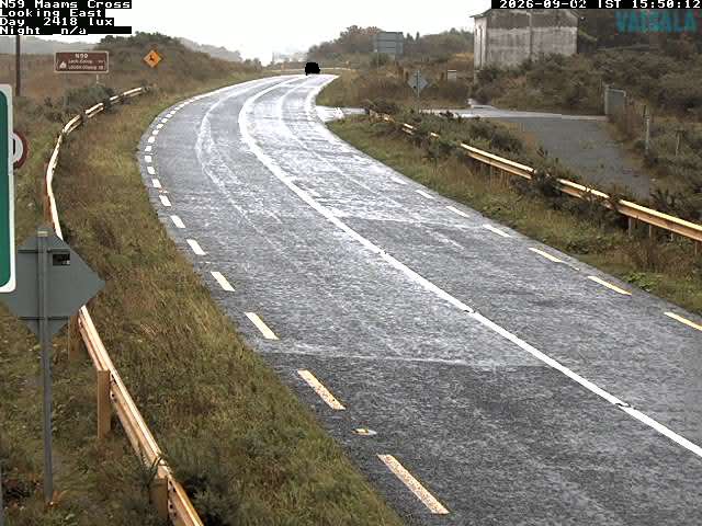
History around Corcogemore
Towns near Corcogemore
- Galway42 km away