Binn idir an dá Log
702 m2,303 ft
Mountain · Maumturks · Ireland
Binn idir an Dá Log, sometimes anglicized Benadolug, at 702 metres (2,303 ft), is the highest of the Maumturk Mountains in Connemara in County Galway, Ireland. It is at the middle of the long north-west to south-east central spine of the range.
From Wikipedia, CC BY-SA · Read the article
The highest point of Maumturks
At the summit · forecast for 2:00 PM
9 °CLight rain · wind 23 km/h from the SW
 See it in 3D
Weather at the summit of Binn idir an dá Log, 702 m
- 2:00 PM9 °CSW 23 km/h0.6 mm
- 5:00 PM8 °CSW 17 km/h0.2 mm
- 8:00 PM8 °CS 21 km/h0.4 mm
- 11:00 PM8 °CS 22 km/h0.6 mm
- 2:00 AM7 °CS 22 km/h0.3 mm
- 5:00 AM7 °CS 24 km/h–
- 8:00 AM7 °CS 25 km/h–
- 11:00 AM9 °CSE 23 km/h–
| Day | Sky | High / low | Rain | Wind up to |
|---|---|---|---|---|
| Thu, Oct 29 | Cloudy | 10 °C / 7 °C | 0.7 mm | 32 km/h |
| Fri, Oct 30 | Heavy rain | 11 °C / 9 °C | 20.3 mm | 31 km/h |
| Sat, Oct 31 | Rain | 9 °C / 7 °C | 5.4 mm | 15 km/h |
| Sun, Nov 1 | Clear | 7 °C / 4 °C | – | 14 km/h |
| Mon, Nov 2 | Partly cloudy | 7 °C / 3 °C | 0.2 mm | 14 km/h |
| Tue, Nov 3 | Mostly clear | 5 °C / 2 °C | – | 9 km/h |
| Wed, Nov 4 | Cloudy | 6 °C / 1 °C | – | 10 km/h |
Forecast by MET Norway (CC BY 4.0), updated 11:19 AM GMT. Times are local.
Facts
- What it is
- Mountain
- Height above sea level
- 702 m (2,303 ft)
- Prominence
- 644 m (2,113 ft)
- Range
- Maumturks
- Country
- Ireland
- Highest point of
- Maumturks
- Coordinates
- 53.514°N 9.677°W
- Source
- Wikidata, CC0
Binn idir an dá Log
Mountain in Galway, Ireland
Binn idir an Dá Log, sometimes anglicized Benadolug, at 702 metres (2,303 ft), is the highest of the Maumturk Mountains in Connemara in County Galway, Ireland. It is at the middle of the long north-west to south-east central spine of the range. The summit is the 87th-highest peak in Ireland on the Arderin list, and the 108th-highest on the Vandeleur-Lynam list.
From Wikipedia, CC BY-SA · Read the article
Peaks near Binn idir an dá Log
- Binn Chaonaigh633 m · 1.8 km awayOn the map
- Knocknahillion607 m · 2 km awayOn the map
- Letterbreckaun667 m · 3.9 km awayOn the map
- Binn Mhór661 m · 4.6 km awayOn the map
- Mullach Glas622 m · 6.1 km awayOn the map
- Leenaun Hill618 m · 6.7 km awayOn the map
- Corcogemore609 m · 7.4 km awayOn the map
- Bencorr711 m · 8.3 km awayOn the map
- Bencollaghduff696 m · 9 km awayOn the map
- Devilsmother645 m · 9.9 km awayOn the map
Highest in the Maumturks
- Binn idir an dá Log702 mOn the map
- Letterbreckaun667 mOn the map
- Binn Mhór661 mOn the map
- Leenaun Hill618 mOn the map
- Lackavrea396 mOn the map
Highest mountains in Ireland
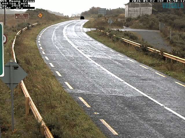
Webcams near Binn idir an dá Log
History around Binn idir an dá Log
Towns near Binn idir an dá Log
- Galway49 km away