Mountains in Ireland
Mweelrea
814 m2,671 ft
Mountain · Ireland
At the summit · forecast for 12:00 AM
5 °CRain · wind 53 km/h from the SW
 See it in 3D
Weather at the summit of Mweelrea, 814 m
- 12:00 AM5 °CSW 53 km/h1 mm
- 3:00 AM4 °CSW 54 km/h1.9 mm
- 6:00 AM5 °CW 49 km/h1.3 mm
- 9:00 AM5 °CW 39 km/h1.7 mm
- 12:00 PM5 °CW 42 km/h1.7 mm
- 3:00 PM6 °CW 42 km/h2.6 mm
- 6:00 PM4 °CSW 40 km/h1.5 mm
- 9:00 PM6 °CSW 45 km/h1.6 mm
| Day | Sky | High / low | Rain | Wind up to |
|---|---|---|---|---|
| Tue, Oct 27 | Rain | 7 °C / 4 °C | 13.3 mm | 56 km/h |
| Wed, Oct 28 | Rain | 9 °C / 7 °C | 6.3 mm | 42 km/h |
| Thu, Oct 29 | Cloudy | 9 °C / 7 °C | 9.1 mm | 35 km/h |
| Fri, Oct 30 | Partly cloudy | 9 °C / 5 °C | 2 mm | 27 km/h |
| Sat, Oct 31 | Partly cloudy | 8 °C / 4 °C | 0.3 mm | 14 km/h |
| Sun, Nov 1 | Cloudy | 7 °C / 4 °C | – | 7 km/h |
| Mon, Nov 2 | Partly cloudy | 5 °C / 1 °C | – | 14 km/h |
Forecast by MET Norway (CC BY 4.0), updated 11:19 PM GMT. Times are local.
Facts
- What it is
- Mountain
- Height above sea level
- 814 m (2,671 ft)
- Prominence
- 779 m (2,556 ft)
- Country
- Ireland
- Coordinates
- 53.636°N 9.831°W
- Source
- Wikidata, CC0
Peaks near Mweelrea
- Ben Lugmore803 m · 2.3 km awayOn the map
- Barrclashcame772 m · 6.6 km awayOn the map
- Ben Gorm700 m · 7.4 km awayOn the map
- Diamond Hill442 m · 11 km awayOn the map
- Leenaun Hill618 m · 11 km awayOn the map
- Benbaun729 m · 13 km awayOn the map
- Tully Mountain356 m · 13 km awayOn the map
- Devilsmother645 m · 13 km awayOn the map
- Letterbreckaun667 m · 13 km awayOn the map
- Bencollaghduff696 m · 14 km awayOn the map
Highest mountains in Ireland
- Carrauntoohil1,039 mOn the map
- Mount Brandon952 mOn the map
- Lugnaquilla925 mOn the map
- Galtymore918 mOn the map
- Baurtregaum851 mOn the map
- Mullaghcleevaun849 mOn the map
- Mangerton Mountain838 mOn the map
- Purple Mountain832 mOn the map
- Beenoskee826 mOn the map
- Mweelrea814 mOn the map
Webcams near Mweelrea
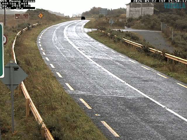


History around Mweelrea
Towns near Mweelrea
- Galway66 km away