Montañas de Austria
Hochschober
3242 m10.636 ft
Montaña · Schober group · Austria
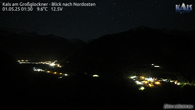
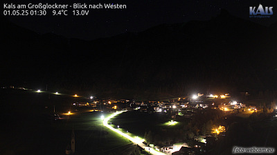
The Hochschober is the mountain that gives its name to the Schober Group in the High Tauern, although the summit is only the fourth highest in the group. This may have arisen because the north face of the mountain is an impressive sight from Kals.
De Wikipedia, CC BY-SA · Leer el artículo
En la cumbre · pronóstico para las 4:00
-10 °CParcialmente nublado · viento de 5 km/h del NO
 Verla en 3D
Clima en la cumbre de Hochschober, 3242 m
- 4:00-10 °CNO 5 km/h–
- 7:00-7 °CNO 5 km/h–
- 10:00-2 °CSO 3 km/h–
- 13:001 °CS 4 km/h–
- 16:00-1 °CSE 3 km/h–
- 19:00-6 °CNE 4 km/h–
- 22:00-7 °CNO 5 km/h–
- 1:00-8 °CNO 5 km/h–
| Día | Cielo | Máx. / mín. | Lluvia | Viento hasta |
|---|---|---|---|---|
| Hoy | Mayormente despejado | 1 °C / -10 °C | – | 5 km/h |
| mié, 28 oct | Nublado | -0 °C / -8 °C | 0,3 mm | 6 km/h |
| jue, 29 oct | Despejado | -2 °C / -11 °C | – | 8 km/h |
| vie, 30 oct | Despejado | -2 °C / -12 °C | – | 4 km/h |
| sáb, 31 oct | Despejado | -1 °C / -11 °C | – | 4 km/h |
| dom, 1 nov | Despejado | 0 °C / -10 °C | – | 4 km/h |
| lun, 2 nov | Despejado | -1 °C / -11 °C | – | 5 km/h |
Pronóstico de MET Norway (CC BY 4.0), actualizado a las 02:17 CET. Horas locales.
Ficha técnica
- Tipo
- Montaña
- Altitud sobre el nivel del mar
- 3242 m (10.636 ft)
- Aislamiento
- a 5 km de un terreno más alto
- Cordillera
- Schober group
- País
- Austria
- Primer ascenso
- 18 de agosto de 1852
- Coordenadas
- 46.943°N 12.698°E
- Fuente
- Wikidata, CC0
Picos cerca de Hochschober
- Petzeck3283 m · a 8,1 kmEn el mapa
- Grossglockner3798 m · a 15 kmEn el mapa
- Glocknerwand3721 m · a 15 kmEn el mapa
- Großer Muntanitz3232 m · a 17 kmEn el mapa
- Johannisberg3453 m · a 19 kmEn el mapa
- Große Sandspitze2770 m · a 21 kmEn el mapa
- Hocharn3254 m · a 23 kmEn el mapa
- Großes Wiesbachhorn3564 m · a 24 kmEn el mapa
- Hoher Tenn3368 m · a 27 kmEn el mapa
- Kitzsteinhorn3203 m · a 27 kmEn el mapa
Los más altos de Schober group
- Petzeck3283 mEn el mapa
- Roter Knopf3281 mEn el mapa
- Hochschober3242 mEn el mapa
- Glödis3206 mEn el mapa
- Großer Friedrichskopf3134 mEn el mapa
- Karlkamp3114 mEn el mapa
Montañas más altas de Austria
- Grossglockner3798 mEn el mapa
- Wildspitze3768 mEn el mapa
- Weißkugel3738 mEn el mapa
- Großvenediger3657 mEn el mapa
- Hintere Schwärze3624 mEn el mapa
- Großes Wiesbachhorn3564 mEn el mapa
- Ramolkogel3549 mEn el mapa
- Schalfkogel3537 mEn el mapa
- Watzespitze3532 mEn el mapa
- Fineilspitze3514 mEn el mapa