Hoher Tenn
3368 m11.050 ft
Montaña · Grupo Glockner · Austria
The Hoher Tenn, formerly also called the Hochtenn, is a double-peaked mountain in the Austrian federal state of Salzburg. It has a southwest summit, called the Bergspitze with a height of 3,368 metres (11,050 ft), and a northeast summit, the Schneespitze, which is 3,317 metres (10,883 ft) high.
De Wikipedia, CC BY-SA · Leer el artículo
En la cumbre · pronóstico para las 8:00
-6 °CNublado · viento de 5 km/h del SO
 Verla en 3D
Clima en la cumbre de Hoher Tenn, 3368 m
- 8:00-6 °CSO 5 km/h–
- 11:00-4 °CNO 8 km/h0,2 mm
- 14:00-4 °CNO 9 km/h1,7 mm
- 17:00-6 °CNO 7 km/h3,5 mm
- 20:00-6 °CNO 9 km/h2 mm
- 23:00-7 °CN 8 km/h1 mm
- 2:00-8 °CNO 6 km/h0,5 mm
- 5:00-8 °CNO 8 km/h–
| Día | Cielo | Máx. / mín. | Lluvia | Viento hasta |
|---|---|---|---|---|
| Hoy | Nieve débil | -4 °C / -7 °C | 7,9 mm | 9 km/h |
| jue, 29 oct | Parcialmente nublado | -6 °C / -11 °C | 1 mm | 8 km/h |
| vie, 30 oct | Despejado | -5 °C / -11 °C | – | 6 km/h |
| sáb, 31 oct | Despejado | -5 °C / -11 °C | – | 4 km/h |
| dom, 1 nov | Parcialmente nublado | -9 °C / -13 °C | 0,2 mm | 8 km/h |
| lun, 2 nov | Nieve | -11 °C / -13 °C | 6,9 mm | 8 km/h |
| mar, 3 nov | Nieve débil | -12 °C / -13 °C | 3,3 mm | 7 km/h |
Pronóstico de MET Norway (CC BY 4.0), actualizado a las 00:17 CET. Horas locales.
Ficha técnica
- Tipo
- Montaña
- Altitud sobre el nivel del mar
- 3368 m (11.050 ft)
- Prominencia
- 337 m (1106 ft)
- Aislamiento
- a 2,1 km de un terreno más alto
- Cordillera
- Grupo Glockner
- País
- Austria
- Coordenadas
- 47.179°N 12.751°E
- Fuente
- Wikidata, CC0
Hoher Tenn
Mountain in the Glockner Group in Salzburg
The Hoher Tenn, formerly also called the Hochtenn, is a double-peaked mountain in the Austrian federal state of Salzburg. It has a southwest summit, called the Bergspitze with a height of 3,368 metres (11,050 ft), and a northeast summit, the Schneespitze, which is 3,317 metres (10,883 ft) high. The Tenn belongs to the Glockner Group in the central part of the High Tauern in the Austrian Central Alps.
De Wikipedia, CC BY-SA · Leer el artículo
Picos cerca de Hoher Tenn
- Großes Wiesbachhorn3564 m · a 2,5 kmEn el mapa
- Kitzsteinhorn3203 m · a 4,9 kmEn el mapa
- Johannisberg3453 m · a 9,7 kmEn el mapa
- Glocknerwand3721 m · a 12 kmEn el mapa
- Grossglockner3798 m · a 12 kmEn el mapa
- Schmittenhöhe1965 m · a 17 kmEn el mapa
- Großer Muntanitz3232 m · a 17 kmEn el mapa
- Hocharn3254 m · a 18 kmEn el mapa
- Hoher Sonnblick3106 m · a 21 kmEn el mapa
- Petzeck3283 m · a 26 kmEn el mapa
Los más altos de Grupo Glockner
- Grossglockner3798 mEn el mapa
- Großes Wiesbachhorn3564 mEn el mapa
- Hoher Tenn3368 mEn el mapa
- Fuscherkarkopf3331 mEn el mapa
- Schwerteck3247 mEn el mapa
- Hocheiser3206 mEn el mapa
- Kitzsteinhorn3203 mEn el mapa
Montañas más altas de Austria
- Grossglockner3798 mEn el mapa
- Wildspitze3768 mEn el mapa
- Weißkugel3738 mEn el mapa
- Großvenediger3657 mEn el mapa
- Hintere Schwärze3624 mEn el mapa
- Großes Wiesbachhorn3564 mEn el mapa
- Ramolkogel3549 mEn el mapa
- Schalfkogel3537 mEn el mapa
- Watzespitze3532 mEn el mapa
- Fineilspitze3514 mEn el mapa
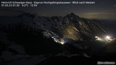
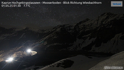
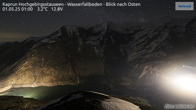
Cámaras web cerca de Hoher Tenn


Historia alrededor de Hoher Tenn
Ciudades cerca de Hoher Tenn
- Saalfelden am Steinernen Meera 28 km
- Bad Reichenhalla 62 km
- Salzburga 72 km
- Freilassinga 76 km
- Traunsteina 77 km