Hoher Tenn
3.368 m11.050 pés
Montanha · Glockner Group · Áustria
The Hoher Tenn, formerly also called the Hochtenn, is a double-peaked mountain in the Austrian federal state of Salzburg. It has a southwest summit, called the Bergspitze with a height of 3,368 metres (11,050 ft), and a northeast summit, the Schneespitze, which is 3,317 metres (10,883 ft) high.
Da Wikipedia, CC BY-SA · Ler o artigo
No cume · previsão para 16:00
-3 °CPoucas nuvens · vento de 2 km/h de O
 Ver em 3D
Clima no cume de Hoher Tenn, 3.368 m
- 16:00-3 °CO 2 km/h–
- 19:00-4 °CSO 3 km/h–
- 22:00-5 °CSO 4 km/h–
- 1:00-6 °CSO 4 km/h–
- 4:00-7 °CO 5 km/h–
- 7:00-7 °CO 5 km/h–
- 10:00-4 °CNO 8 km/h0,2 mm
- 13:00-4 °CNO 7 km/h3,1 mm
| Dia | Céu | Máx. / mín. | Chuva | Vento até |
|---|---|---|---|---|
| qua., 28 de out. | Neve | -4 °C / -8 °C | 8 mm | 9 km/h |
| qui., 29 de out. | Céu limpo | -6 °C / -12 °C | – | 9 km/h |
| sex., 30 de out. | Céu limpo | -4 °C / -11 °C | – | 3 km/h |
| sáb., 31 de out. | Céu limpo | -2 °C / -9 °C | – | 3 km/h |
| dom., 1 de nov. | Céu limpo | -1 °C / -7 °C | – | 4 km/h |
| seg., 2 de nov. | Céu limpo | -5 °C / -11 °C | – | 4 km/h |
| ter., 3 de nov. | Nublado | -5 °C / -11 °C | – | 9 km/h |
Previsão: MET Norway (CC BY 4.0), atualizada às 10:21 GMT+1. Horários locais.
Ficha técnica
- Tipo
- Montanha
- Altitude acima do nível do mar
- 3.368 m (11.050 pés)
- Proeminência
- 337 m (1.106 pés)
- Isolamento
- a 2,1 km de um terreno mais alto
- Cordilheira
- Glockner Group
- País
- Áustria
- Coordenadas
- 47.179°N 12.751°E
- Fonte
- Wikidata, CC0
Hoher Tenn
Mountain in the Glockner Group in Salzburg
The Hoher Tenn, formerly also called the Hochtenn, is a double-peaked mountain in the Austrian federal state of Salzburg. It has a southwest summit, called the Bergspitze with a height of 3,368 metres (11,050 ft), and a northeast summit, the Schneespitze, which is 3,317 metres (10,883 ft) high. The Tenn belongs to the Glockner Group in the central part of the High Tauern in the Austrian Central Alps.
Da Wikipedia, CC BY-SA · Ler o artigo
Picos perto de Hoher Tenn
- Großes Wiesbachhorn3.564 m · a 2,5 kmNo mapa
- Kitzsteinhorn3.203 m · a 4,9 kmNo mapa
- Johannisberg3.453 m · a 9,7 kmNo mapa
- Glocknerwand3.721 m · a 12 kmNo mapa
- Grossglockner3.798 m · a 12 kmNo mapa
- Schmittenhöhe1.965 m · a 17 kmNo mapa
- Großer Muntanitz3.232 m · a 17 kmNo mapa
- Hocharn3.254 m · a 18 kmNo mapa
- Hoher Sonnblick3.106 m · a 21 kmNo mapa
- Petzeck3.283 m · a 26 kmNo mapa
Os mais altos de Glockner Group
- Grossglockner3.798 mNo mapa
- Großes Wiesbachhorn3.564 mNo mapa
- Hoher Tenn3.368 mNo mapa
- Fuscherkarkopf3.331 mNo mapa
- Schwerteck3.247 mNo mapa
- Hocheiser3.206 mNo mapa
- Kitzsteinhorn3.203 mNo mapa
Montanhas mais altas de Áustria
- Grossglockner3.798 mNo mapa
- Wildspitze3.768 mNo mapa
- Weißkugel3.738 mNo mapa
- Großvenediger3.657 mNo mapa
- Hintere Schwärze3.624 mNo mapa
- Großes Wiesbachhorn3.564 mNo mapa
- Ramolkogel3.549 mNo mapa
- Schalfkogel3.537 mNo mapa
- Watzespitze3.532 mNo mapa
- Fineilspitze3.514 mNo mapa
Webcams perto de Hoher Tenn
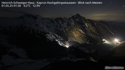
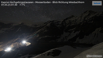
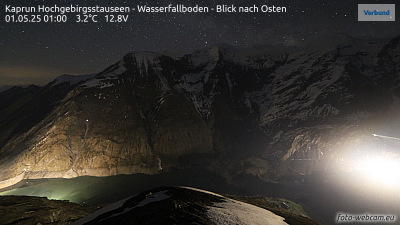


História ao redor de Hoher Tenn
Cidades perto de Hoher Tenn
- Saalfelden am Steinernen Meera 28 km
- Bad Reichenhalla 62 km
- Salzburga 72 km
- Freilassinga 76 km
- Traunsteina 77 km