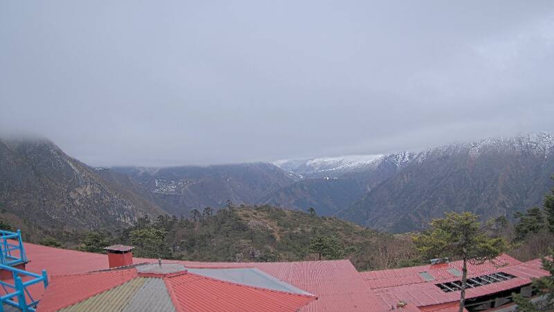
Montañas de Nepal
Hungchi
7029 m23.061 ft
Montaña · Nepal
Hungchi is a mountain peak in the Himalayas on the border of Nepal and the Tibet Autonomous Region of People's Republic of China.
De Wikipedia, CC BY-SA · Leer el artículo
En la cumbre · pronóstico para las 6:45
-26 °CDespejado · viento de 9 km/h del NE
 Verla en 3D
Clima en la cumbre de Hungchi, 7029 m
- 6:45-26 °CNE 9 km/h–
- 9:45-17 °CS 8 km/h–
- 12:45-15 °CS 11 km/h–
- 15:45-17 °CS 10 km/h–
- 18:45-23 °CNE 8 km/h–
- 21:45-23 °CNE 8 km/h–
- 0:45-24 °CNE 8 km/h–
- 3:45-26 °CNE 8 km/h–
| Día | Cielo | Máx. / mín. | Lluvia | Viento hasta |
|---|---|---|---|---|
| Hoy | Despejado | -15 °C / -26 °C | – | 12 km/h |
| mié, 28 oct | Nublado | -14 °C / -26 °C | – | 9 km/h |
| jue, 29 oct | Nieve | -14 °C / -21 °C | 15 mm | 9 km/h |
| vie, 30 oct | Nieve fuerte | -15 °C / -16 °C | 71,4 mm | 2 km/h |
| sáb, 31 oct | Parcialmente nublado | -14 °C / -22 °C | 3 mm | 7 km/h |
| dom, 1 nov | Despejado | -15 °C / -25 °C | 0,5 mm | 9 km/h |
| lun, 2 nov | Nieve | -16 °C / -26 °C | 2,8 mm | 9 km/h |
Pronóstico de MET Norway (CC BY 4.0), actualizado a las 05:05 GMT+5:45. Horas locales.
Ficha técnica
- Tipo
- Montaña
- Altitud sobre el nivel del mar
- 7029 m (23.061 ft)
- Prominencia
- 876 m (2874 ft)
- País
- Nepal
- Coordenadas
- 28.035°N 86.759°E
- Fuente
- Wikidata, CC0
Picos cerca de Hungchi
- Nirekha6169 m · a 6,4 kmEn el mapa
- Pumori7161 m · a 7,1 kmEn el mapa
- Gyachung Kang7952 m · a 7,2 kmEn el mapa
- Kala Patthar5645 m · a 8,1 kmEn el mapa
- Lobuche6145 m · a 8,9 kmEn el mapa
- Lingtren6714 m · a 9,2 kmEn el mapa
- Pico Tenzing7905 m · a 11 kmEn el mapa
- Gokyo Ri5357 m · a 11 kmEn el mapa
- Khumbutse6636 m · a 11 kmEn el mapa
- Cho Oyu8188 m · a 12 kmEn el mapa
Montañas más altas de Nepal
- Everest8849 mEn el mapa
- Kanchenjunga8586 mEn el mapa
- Lhotse8516 mEn el mapa
- Makalu8485 mEn el mapa
- Cho Oyu8188 mEn el mapa
- Dhaulagiri8167 mEn el mapa
- Manaslu8163 mEn el mapa
- Annapurna I8091 mEn el mapa
- Gyachung Kang7952 mEn el mapa
- Annapurna II7937 mEn el mapa