Jerimoth Hill
810 ft247 m
Montaña · Estados Unidos
Jerimoth Hill is the highest point in the U.S. state of Rhode Island. It is the lowest state highpoint in New England. Located in the town of Foster in the northwest of the state, the site is used as an observatory.
De Wikipedia, CC BY-SA · Leer el artículo
En la cumbre · pronóstico para las 1:00
53 °FDespejado · viento de 9 mph del N
 Verla en 3D
Clima en la cumbre de Jerimoth Hill, 810 ft
- 1:0053 °FN 9 mph–
- 4:0047 °FN 9 mph–
- 7:0041 °FN 9 mph–
- 10:0046 °FNE 8 mph–
- 13:0051 °FN 6 mph–
- 16:0052 °FNO 3 mph–
- 19:0043 °FNO 4 mph–
- 22:0040 °FN 4 mph–
| Día | Cielo | Máx. / mín. | Lluvia | Viento hasta |
|---|---|---|---|---|
| Hoy | Despejado | 53 °F / 38 °F | – | 9 mph |
| mié, 28 oct | Parcialmente nublado | 55 °F / 34 °F | – | 8 mph |
| jue, 29 oct | Despejado | 63 °F / 43 °F | – | 11 mph |
| vie, 30 oct | Despejado | 69 °F / 51 °F | – | 11 mph |
| sáb, 31 oct | Mayormente despejado | 58 °F / 42 °F | – | 7 mph |
| dom, 1 nov | Nublado | 61 °F / 41 °F | – | 10 mph |
| lun, 2 nov | Lluvia | 57 °F / 54 °F | 0,39 pulg. | 9 mph |
Pronóstico de MET Norway (CC BY 4.0), actualizado a las 21:17 GMT-4. Horas locales.
Ficha técnica
- Tipo
- Montaña
- Altitud sobre el nivel del mar
- 810 ft (247 m)
- Prominencia
- 192 ft (59 m)
- País
- Estados Unidos
- Coordenadas
- 41.849°N 71.779°W
- Fuente
- Wikidata, CC0
Jerimoth Hill
Highest point in Rhode Island
Jerimoth Hill is the highest point in the U.S. state of Rhode Island. It is the lowest state highpoint in New England. Located in the town of Foster in the northwest of the state, the site is used as an observatory. It is also a popular destination for highpointers, and prior to 2005 was known for being difficult to access due to a local landowner who prohibited entry.
De Wikipedia, CC BY-SA · Leer el artículo
Picos cerca de Jerimoth Hill
- Mount Pisgah715 ft · a 58 kmEn el mapa
- Woonsocket HillMontaña · a 23 kmEn el mapa
- Escoheag HillColina · a 27 kmEn el mapa
- Snow Hill, ConnecticutMontaña · a 38 kmEn el mapa
- Burley Hill, ConnecticutMontaña · a 40 kmEn el mapa
- Lantern HillColina · a 45 kmEn el mapa
- Cochegan RockMontaña · a 51 kmEn el mapa
- Peaked MountainMontaña · a 51 kmEn el mapa
- Gibbs MountainColina · a 59 kmEn el mapa
Montañas más altas de Estados Unidos
- Denali20.308 ftEn el mapa
- Monte San Elías18.009 ftEn el mapa
- Monte Foraker17.402 ftEn el mapa
- Monte Bona16.535 ftEn el mapa
- Monte Blackburn16.390 ftEn el mapa
- Monte Sanford16.237 ftEn el mapa
- Monte Vancouver15.787 ftEn el mapa
- Monte Churchill15.636 ftEn el mapa
- Monte Fairweather15.325 ftEn el mapa
- Mount Hubbard14.951 ftEn el mapa
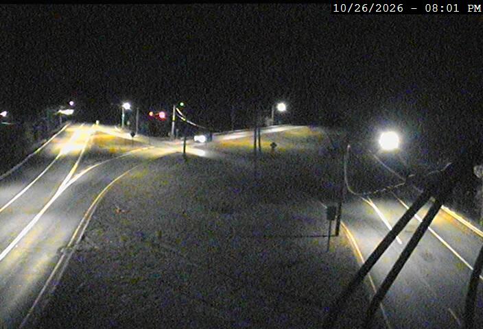
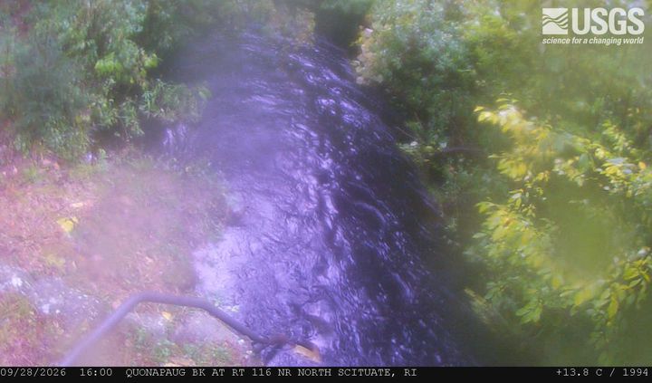
Cámaras web cerca de Jerimoth Hill


Historia alrededor de Jerimoth Hill
Ciudades cerca de Jerimoth Hill
- Killingly Centera 7,6 km
- Coventrya 18 km
- Smithfielda 21 km
- Plainfielda 22 km
- Johnstona 23 km
- North Providencea 26 km