Jerimoth Hill
810 ft247 m
山 · アメリカ合衆国
Jerimoth Hill is the highest point in the U.S. state of Rhode Island. It is the lowest state highpoint in New England. Located in the town of Foster in the northwest of the state, the site is used as an observatory.
出典: Wikipedia、CC BY-SA · 記事を読む
山頂 · 1:00 の予報
53 °F快晴 · 北の風 9 mph
 3D で見る
Jerimoth Hill 山頂の天気(810 ft)
- 1:0053 °F北 9 mph–
- 4:0047 °F北 9 mph–
- 7:0041 °F北 9 mph–
- 10:0046 °F北東 8 mph–
- 13:0051 °F北 6 mph–
- 16:0052 °F北西 3 mph–
- 19:0043 °F北西 4 mph–
- 22:0040 °F北 4 mph–
| 日付 | 天気 | 最高 / 最低 | 雨 | 最大風速 |
|---|---|---|---|---|
| 今日 | 快晴 | 53 °F / 38 °F | – | 9 mph |
| 10月28日(水) | 晴れ時々曇り | 55 °F / 34 °F | – | 8 mph |
| 10月29日(木) | 快晴 | 63 °F / 43 °F | – | 11 mph |
| 10月30日(金) | 快晴 | 69 °F / 51 °F | – | 11 mph |
| 10月31日(土) | 晴れ | 58 °F / 42 °F | – | 7 mph |
| 11月1日(日) | 曇り | 61 °F / 41 °F | – | 10 mph |
| 11月2日(月) | 雨 | 57 °F / 54 °F | 0.39 インチ | 9 mph |
MET Norway(CC BY 4.0)による予報。21:17 GMT-4 更新。時刻は現地時間です。
基本データ
- 種類
- 山
- 標高
- 810 ft (247 m)
- プロミネンス
- 192 ft (59 m)
- 座標
- 41.849°N 71.779°W
Jerimoth Hill
Highest point in Rhode Island
Jerimoth Hill is the highest point in the U.S. state of Rhode Island. It is the lowest state highpoint in New England. Located in the town of Foster in the northwest of the state, the site is used as an observatory. It is also a popular destination for highpointers, and prior to 2005 was known for being difficult to access due to a local landowner who prohibited entry.
出典: Wikipedia、CC BY-SA · 記事を読む
Jerimoth Hill周辺の山
- Mount Pisgah715 ft · 58 km先地図上
- Woonsocket Hill山 · 23 km先地図上
- Escoheag Hill丘 · 27 km先地図上
- Snow Hill, Connecticut山 · 38 km先地図上
- Burley Hill, Connecticut山 · 40 km先地図上
- Lantern Hill丘 · 45 km先地図上
- Cochegan Rock山 · 51 km先地図上
- Peaked Mountain山 · 51 km先地図上
- Gibbs Mountain丘 · 59 km先地図上
アメリカ合衆国の高い山
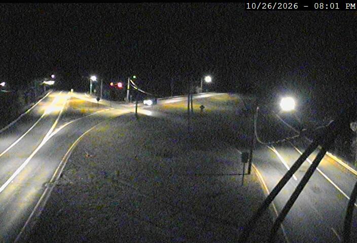
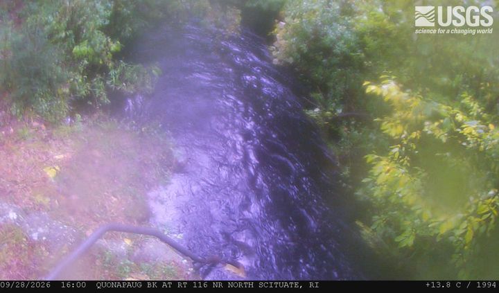
Jerimoth Hill周辺のライブカメラ


Jerimoth Hill周辺の歴史
Jerimoth Hill周辺の町
- Killingly Center7.6 km先
- コヴェントリー18 km先
- スミスフィールド21 km先
- Plainfield22 km先
- Johnston23 km先
- ノース・プロヴィデンス26 km先