King Peak
11.036 ft3364 m
Montaña · Montañas Rubí · Estados Unidos
King Peak is the southernmost summit above 11,000 feet (3,400 m) in the Ruby Mountains of Elko County, in northeastern Nevada in the western United States. To the west is Rattlesnake Canyon, and to the east is Overland Creek Canyon, which drains into the Ruby Valley).
De Wikipedia, CC BY-SA · Leer el artículo
En la cumbre · pronóstico para las 14:00
33 °FDespejado · viento de 10 mph del O
 Verla en 3D
Clima en la cumbre de King Peak, 11.036 ft
- 14:0033 °FO 10 mph–
- 17:0029 °FO 8 mph–
- 20:0020 °FNO 9 mph–
- 23:0018 °FN 4 mph–
- 2:0019 °FN 3 mph–
- 5:0019 °FE 3 mph–
- 8:0022 °FS 4 mph–
- 11:0030 °FSO 6 mph–
| Día | Cielo | Máx. / mín. | Lluvia | Viento hasta |
|---|---|---|---|---|
| mié, 28 oct | Despejado | 32 °F / 18 °F | – | 9 mph |
| jue, 29 oct | Nublado | 36 °F / 25 °F | – | 10 mph |
| vie, 30 oct | Nieve | 31 °F / 24 °F | 0,39 pulg. | 9 mph |
| sáb, 31 oct | Nieve | 29 °F / 22 °F | 0,39 pulg. | 8 mph |
| dom, 1 nov | Nieve | 20 °F / 10 °F | 0,19 pulg. | 4 mph |
| lun, 2 nov | Despejado | 20 °F / 5 °F | – | 3 mph |
| mar, 3 nov | Nublado | 30 °F / 15 °F | – | 1 mph |
Pronóstico de MET Norway (CC BY 4.0), actualizado a las 12:17 GMT-7. Horas locales.
Ficha técnica
- Tipo
- Montaña
- Altitud sobre el nivel del mar
- 11.036 ft (3364 m)
- Prominencia
- 1311 ft (400 m)
- Cordillera
- Montañas Rubí
- País
- Estados Unidos
- Coordenadas
- 40.477°N 115.471°W
- Fuente
- Wikidata, CC0
King Peak (Nevada)
Mountain in United States of America
King Peak is the southernmost summit above 11,000 feet (3,400 m) in the Ruby Mountains of Elko County, in northeastern Nevada in the western United States. To the west is Rattlesnake Canyon, and to the east is Overland Creek Canyon, which drains into the Ruby Valley). The Ruby Crest National Recreation Trail passes just to the east on its way north from Overland Lake.
De Wikipedia, CC BY-SA · Leer el artículo
Picos cerca de King Peak
- Liberty Peak11.037 ft · a 14 kmEn el mapa
- Snow Lake Peak11.142 ft · a 16 kmEn el mapa
- Ruby Dome11.388 ft · a 16 kmEn el mapa
- Mount Gilbert11.125 ft · a 17 kmEn el mapa
- Thomas Peak11.321 ft · a 18 kmEn el mapa
- Verdi Peaks11.074 ft · a 21 kmEn el mapa
- Pearl Peak10.777 ft · a 27 kmEn el mapa
- Rattlesnake Mountain8537 ft · a 27 kmEn el mapa
- Grindstone Mountain7382 ft · a 44 kmEn el mapa
- Spruce Mountain10.233 ft · a 56 kmEn el mapa
Los más altos de Montañas Rubí
- Ruby Dome11.388 ftEn el mapa
- Thomas Peak11.321 ftEn el mapa
- Mount Gilbert11.125 ftEn el mapa
- Verdi Peaks11.074 ftEn el mapa
- King Peak11.036 ftEn el mapa
- Pearl Peak10.777 ftEn el mapa
Montañas más altas de Estados Unidos
- Denali20.308 ftEn el mapa
- Monte San Elías18.009 ftEn el mapa
- Monte Foraker17.402 ftEn el mapa
- Monte Bona16.535 ftEn el mapa
- Monte Blackburn16.390 ftEn el mapa
- Monte Sanford16.237 ftEn el mapa
- Monte Vancouver15.787 ftEn el mapa
- Monte Churchill15.636 ftEn el mapa
- Monte Fairweather15.325 ftEn el mapa
- Mount Hubbard14.951 ftEn el mapa
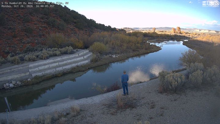
Cámaras web cerca de King Peak
Historia alrededor de King Peak
Ciudades cerca de King Peak
- Elkoa 47 km