Klockerin
3422 m11.227 ft
Montaña · Grupo Glockner · Austria
The Klockerin, formerly also called the Glockerin or Glocknerin, is a twin-peaked mountain in the Glockner Group on the ridge of Fuscher/Kapruner Kamm in the High Tauern, a range within the Central Alps in the Austrian state of Salzburg.
De Wikipedia, CC BY-SA · Leer el artículo
En la cumbre · pronóstico para las 1:00
-10 °CDespejado · viento de 4 km/h del SO
 Verla en 3D
Clima en la cumbre de Klockerin, 3422 m
- 1:00-10 °CSO 4 km/h–
- 4:00-7 °CSO 4 km/h–
- 7:00-5 °CSO 4 km/h–
- 10:00-3 °CNO 4 km/h–
- 13:00-2 °CNO 4 km/h–
- 16:00-4 °CS 2 km/h–
- 19:00-6 °CS 3 km/h–
- 22:00-5 °CSO 4 km/h–
| Día | Cielo | Máx. / mín. | Lluvia | Viento hasta |
|---|---|---|---|---|
| Hoy | Despejado | -2 °C / -10 °C | – | 5 km/h |
| mié, 28 oct | Nieve | -4 °C / -8 °C | 7,6 mm | 9 km/h |
| jue, 29 oct | Despejado | -7 °C / -12 °C | – | 9 km/h |
| vie, 30 oct | Despejado | -5 °C / -12 °C | – | 3 km/h |
| sáb, 31 oct | Despejado | -2 °C / -11 °C | – | 2 km/h |
| dom, 1 nov | Despejado | -2 °C / -8 °C | – | 3 km/h |
| lun, 2 nov | Despejado | -6 °C / -11 °C | – | 3 km/h |
Pronóstico de MET Norway (CC BY 4.0), actualizado a las 00:19 CET. Horas locales.
Ficha técnica
- Tipo
- Montaña
- Altitud sobre el nivel del mar
- 3422 m (11.227 ft)
- Aislamiento
- a 1,6 km de un terreno más alto
- Cordillera
- Grupo Glockner
- País
- Austria
- Coordenadas
- 47.147°N 12.736°E
- Fuente
- Wikidata, CC0
Klockerin
The Klockerin, formerly also called the Glockerin or Glocknerin, is a twin-peaked mountain in the Glockner Group on the ridge of Fuscher/Kapruner Kamm in the High Tauern, a range within the Central Alps in the Austrian state of Salzburg. Its southwest top (Südwestgipfel) is 3,422 m (AA) high, its northeast top (Nordostgipfel) has a height of 3,335 m. The two summits are about 240 metres apart.
De Wikipedia, CC BY-SA · Leer el artículo
Picos cerca de Klockerin
- Großes Wiesbachhorn3564 m · a 1,8 kmEn el mapa
- Hoher Tenn3368 m · a 3,8 kmEn el mapa
- Kitzsteinhorn3203 m · a 5,9 kmEn el mapa
- Johannisberg3453 m · a 6,3 kmEn el mapa
- Glocknerwand3721 m · a 8,4 kmEn el mapa
- Grossglockner3798 m · a 8,7 kmEn el mapa
- Großer Muntanitz3232 m · a 14 kmEn el mapa
- Hocharn3254 m · a 17 kmEn el mapa
- Schmittenhöhe1965 m · a 20 kmEn el mapa
- Petzeck3283 m · a 23 kmEn el mapa
Los más altos de Grupo Glockner
- Grossglockner3798 mEn el mapa
- Großes Wiesbachhorn3564 mEn el mapa
- Klockerin3422 mEn el mapa
- Hoher Tenn3368 mEn el mapa
- Fuscherkarkopf3331 mEn el mapa
- Schwerteck3247 mEn el mapa
- Hocheiser3206 mEn el mapa
- Kitzsteinhorn3203 mEn el mapa
Montañas más altas de Austria
- Grossglockner3798 mEn el mapa
- Wildspitze3768 mEn el mapa
- Weißkugel3738 mEn el mapa
- Großvenediger3657 mEn el mapa
- Hintere Schwärze3624 mEn el mapa
- Großes Wiesbachhorn3564 mEn el mapa
- Ramolkogel3549 mEn el mapa
- Schalfkogel3537 mEn el mapa
- Watzespitze3532 mEn el mapa
- Fineilspitze3514 mEn el mapa
Cámaras web cerca de Klockerin
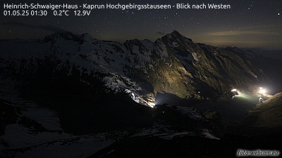 Heinrich-Schwaiger-Haus - Kaprun Hochgebirgsstauseen - Blick nach Westena 1,8 km de la cumbre
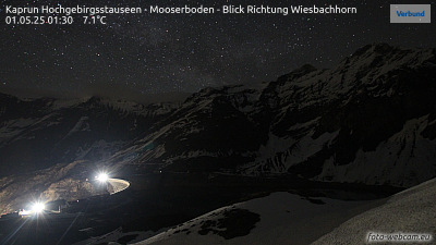 Kaprun Hochgebirgsstauseen - Mooserboden - Blick Richtung Wiesbachhorna 2,8 km de la cumbre
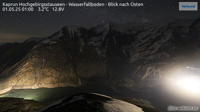 Kaprun Hochgebirgsstauseen - Wasserfallboden - Blick nach Ostena 4,7 km de la cumbre
 Oberwalderhütte - Blick nach Süden zum Großglocknera 4,8 km de la cumbre
Historia alrededor de Klockerin
Ciudades cerca de Klockerin
- Saalfelden am Steinernen Meera 32 km
- Bad Reichenhalla 66 km
- Salzburga 76 km
- Freilassinga 79 km