Leenaun Hill
618 m2028 ft
Montaña · Maumturks · Irlanda
Leenaun Hill at 618 metres (2,028 ft), is the 201st–highest peak in Ireland on the Arderin scale, and the 243rd–highest peak on the Vandeleur-Lynam scale.
De Wikipedia, CC BY-SA · Leer el artículo
En la cumbre · pronóstico para las 15:00
6 °CLluvia débil · viento de 37 km/h del O
 Verla en 3D
Clima en la cumbre de Leenaun Hill, 618 m
- 15:006 °CO 37 km/h0,5 mm
- 18:005 °CSO 31 km/h0,8 mm
- 21:007 °CSO 34 km/h5 mm
- 0:008 °CSO 37 km/h1,6 mm
- 3:008 °CO 36 km/h0,7 mm
- 6:008 °CSO 28 km/h0,3 mm
- 9:008 °CSO 23 km/h0,5 mm
- 12:0010 °CSO 26 km/h0,1 mm
| Día | Cielo | Máx. / mín. | Lluvia | Viento hasta |
|---|---|---|---|---|
| mié, 28 oct | Nublado | 10 °C / 8 °C | 4,4 mm | 37 km/h |
| jue, 29 oct | Nublado | 10 °C / 7 °C | 3,2 mm | 37 km/h |
| vie, 30 oct | Parcialmente nublado | 10 °C / 5 °C | 11 mm | 31 km/h |
| sáb, 31 oct | Lluvia | 10 °C / 6 °C | 12 mm | 14 km/h |
| dom, 1 nov | Parcialmente nublado | 8 °C / 4 °C | – | 14 km/h |
| lun, 2 nov | Nublado | 8 °C / 4 °C | – | 23 km/h |
| mar, 3 nov | Parcialmente nublado | 8 °C / 5 °C | 0,5 mm | 19 km/h |
Pronóstico de MET Norway (CC BY 4.0), actualizado a las 13:17 GMT. Horas locales.
Ficha técnica
- Tipo
- Montaña
- Altitud sobre el nivel del mar
- 618 m (2028 ft)
- Prominencia
- 363 m (1191 ft)
- Cordillera
- Maumturks
- País
- Irlanda
- Coordenadas
- 53.572°N 9.700°W
- Fuente
- Wikidata, CC0
Leenaun Hill
Mountain in County Galway, Ireland
Leenaun Hill at 618 metres (2,028 ft), is the 201st–highest peak in Ireland on the Arderin scale, and the 243rd–highest peak on the Vandeleur-Lynam scale. Leenaun Hill lies on a massif that overlooks Leenaun village and Killary Harbour, and which is at the far northeastern sector of the Maumturks mountain range in the Connemara National Park in County Galway, Ireland; this massif is connected to the main range via th…
De Wikipedia, CC BY-SA · Leer el artículo
Picos cerca de Leenaun Hill
- Letterbreckaun667 m · a 4,6 kmEn el mapa
- Devilsmother645 m · a 5,1 kmEn el mapa
- Knocknahillion607 m · a 5,6 kmEn el mapa
- Ben Gorm700 m · a 6 kmEn el mapa
- Binn idir an dá Log702 m · a 6,7 kmEn el mapa
- Binn Chaonaigh633 m · a 8,2 kmEn el mapa
- Maumtrasna682 m · a 9,7 kmEn el mapa
- Bencollaghduff696 m · a 9,9 kmEn el mapa
- Ben Lugmore803 m · a 10 kmEn el mapa
- Binn Bhán729 m · a 10 kmEn el mapa
Los más altos de Maumturks
- Binn idir an dá Log702 mEn el mapa
- Letterbreckaun667 mEn el mapa
- Binn Mhór661 mEn el mapa
- Leenaun Hill618 mEn el mapa
- Lackavrea396 mEn el mapa
Montañas más altas de Irlanda
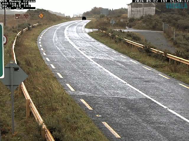
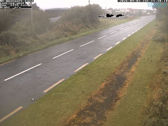
Cámaras web cerca de Leenaun Hill

Historia alrededor de Leenaun Hill
Ciudades cerca de Leenaun Hill
- Galwaya 54 km