Ben Lugmore
803 m2635 ft
Montaña · Irlanda
Ben Lugmore at 803 metres (2,635 ft) is the 29th-highest peak in Ireland on the Arderin scale, and the 37th-highest peak on the Vandeleur-Lynam scale. It is in a horseshoe-shaped massif that includes the slightly higher peak of Mweelrea at 814 metres (2,671 ft), the highest mountain in the Irish province of Connacht.
De Wikipedia, CC BY-SA · Leer el artículo
En la cumbre · pronóstico para las 14:00
6 °CLluvia · viento de 44 km/h del O
 Verla en 3D
Clima en la cumbre de Ben Lugmore, 803 m
- 14:006 °CO 44 km/h0,7 mm
- 17:005 °CSO 41 km/h0,8 mm
- 20:005 °CSO 37 km/h3,5 mm
- 23:007 °CSO 43 km/h1,3 mm
- 2:007 °CSO 36 km/h1,2 mm
- 5:007 °CSO 35 km/h0,7 mm
- 8:007 °CSO 28 km/h0,6 mm
- 11:008 °CSO 27 km/h0,4 mm
| Día | Cielo | Máx. / mín. | Lluvia | Viento hasta |
|---|---|---|---|---|
| mié, 28 oct | Lluvia débil | 9 °C / 7 °C | 4,7 mm | 42 km/h |
| jue, 29 oct | Nublado | 9 °C / 6 °C | 2,7 mm | 41 km/h |
| vie, 30 oct | Parcialmente nublado | 9 °C / 4 °C | 9,7 mm | 36 km/h |
| sáb, 31 oct | Lluvia | 8 °C / 5 °C | 12 mm | 14 km/h |
| dom, 1 nov | Mayormente despejado | 7 °C / 3 °C | – | 15 km/h |
| lun, 2 nov | Nublado | 7 °C / 4 °C | – | 23 km/h |
| mar, 3 nov | Nublado | 8 °C / 4 °C | 0,3 mm | 21 km/h |
Pronóstico de MET Norway (CC BY 4.0), actualizado a las 13:17 GMT. Horas locales.
Ficha técnica
- Tipo
- Montaña
- Altitud sobre el nivel del mar
- 803 m (2635 ft)
- Prominencia
- 158 m (518 ft)
- País
- Irlanda
- Coordenadas
- 53.643°N 9.797°W
- Fuente
- Wikidata, CC0
Ben Lugmore
Mountain in County Mayo, Ireland
Ben Lugmore at 803 metres (2,635 ft) is the 29th-highest peak in Ireland on the Arderin scale, and the 37th-highest peak on the Vandeleur-Lynam scale. It is in a horseshoe-shaped massif that includes the slightly higher peak of Mweelrea at 814 metres (2,671 ft), the highest mountain in the Irish province of Connacht. The massif is between Killary Harbour and Doo Lough, in County Mayo.
De Wikipedia, CC BY-SA · Leer el artículo
Picos cerca de Ben Lugmore
- Cnoc Maol Réidh814 m · a 2,3 kmEn el mapa
- Barrclashcame772 m · a 4,3 kmEn el mapa
- Ben Gorm700 m · a 5,5 kmEn el mapa
- Leenaun Hill618 m · a 10 kmEn el mapa
- Devilsmother645 m · a 11 kmEn el mapa
- Diamond Hill442 m · a 13 kmEn el mapa
- Letterbreckaun667 m · a 13 kmEn el mapa
- Binn Bhán729 m · a 14 kmEn el mapa
- Bencollaghduff696 m · a 14 kmEn el mapa
- Knocknahillion607 m · a 15 kmEn el mapa
Montañas más altas de Irlanda
Cámaras web cerca de Ben Lugmore
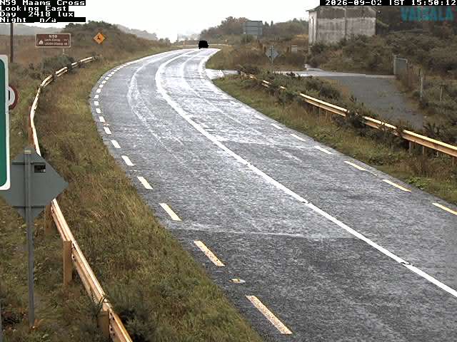

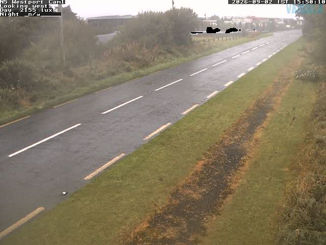
Historia alrededor de Ben Lugmore
Ciudades cerca de Ben Lugmore
- Galwaya 64 km