Ben Lugmore
803 m2.635 pés
Montanha · Irlanda
Ben Lugmore at 803 metres (2,635 ft) is the 29th-highest peak in Ireland on the Arderin scale, and the 37th-highest peak on the Vandeleur-Lynam scale. It is in a horseshoe-shaped massif that includes the slightly higher peak of Mweelrea at 814 metres (2,671 ft), the highest mountain in the Irish province of Connacht.
Da Wikipedia, CC BY-SA · Ler o artigo
No cume · previsão para 14:00
6 °CChuva · vento de 44 km/h de O
 Ver em 3D
Clima no cume de Ben Lugmore, 803 m
- 14:006 °CO 44 km/h0,9 mm
- 17:004 °CO 40 km/h1 mm
- 20:006 °CSO 40 km/h0,9 mm
- 23:007 °CSO 42 km/h1,3 mm
- 2:007 °CSO 40 km/h1,2 mm
- 5:007 °CO 33 km/h0,7 mm
- 8:007 °CSO 29 km/h0,8 mm
- 11:008 °CSO 28 km/h0,7 mm
| Dia | Céu | Máx. / mín. | Chuva | Vento até |
|---|---|---|---|---|
| qua., 28 de out. | Chuva fraca | 9 °C / 7 °C | 5,1 mm | 41 km/h |
| qui., 29 de out. | Nublado | 9 °C / 7 °C | 9,4 mm | 38 km/h |
| sex., 30 de out. | Parcialmente nublado | 9 °C / 5 °C | 2 mm | 27 km/h |
| sáb., 31 de out. | Parcialmente nublado | 8 °C / 4 °C | 0,3 mm | 14 km/h |
| dom., 1 de nov. | Nublado | 7 °C / 4 °C | – | 7 km/h |
| seg., 2 de nov. | Parcialmente nublado | 5 °C / 1 °C | – | 14 km/h |
| ter., 3 de nov. | Nublado | 8 °C / 5 °C | 0,4 mm | 18 km/h |
Previsão: MET Norway (CC BY 4.0), atualizada às 01:17 GMT. Horários locais.
Ficha técnica
- Tipo
- Montanha
- Altitude acima do nível do mar
- 803 m (2.635 pés)
- Proeminência
- 158 m (518 pés)
- País
- Irlanda
- Coordenadas
- 53.643°N 9.797°W
- Fonte
- Wikidata, CC0
Ben Lugmore
Mountain in County Mayo, Ireland
Ben Lugmore at 803 metres (2,635 ft) is the 29th-highest peak in Ireland on the Arderin scale, and the 37th-highest peak on the Vandeleur-Lynam scale. It is in a horseshoe-shaped massif that includes the slightly higher peak of Mweelrea at 814 metres (2,671 ft), the highest mountain in the Irish province of Connacht. The massif is between Killary Harbour and Doo Lough, in County Mayo.
Da Wikipedia, CC BY-SA · Ler o artigo
Picos perto de Ben Lugmore
- Mweelrea814 m · a 2,3 kmNo mapa
- Barrclashcame772 m · a 4,3 kmNo mapa
- Ben Gorm700 m · a 5,5 kmNo mapa
- Leenaun Hill618 m · a 10 kmNo mapa
- Devilsmother645 m · a 11 kmNo mapa
- Diamond Hill442 m · a 13 kmNo mapa
- Letterbreckaun667 m · a 13 kmNo mapa
- Benbaun729 m · a 14 kmNo mapa
- Bencollaghduff696 m · a 14 kmNo mapa
- Knocknahillion607 m · a 15 kmNo mapa
Montanhas mais altas de Irlanda
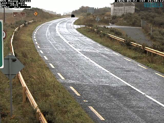
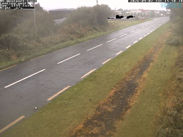
Webcams perto de Ben Lugmore

História ao redor de Ben Lugmore
Cidades perto de Ben Lugmore
- Galwaya 64 km