Mięguszowiecki Szczyt Pośredni
2393 m7851 ft
Montaña · Alto Tatra · Eslovaquia
Mięguszowiecki Szczyt Pośredni is a mountain situated on the main ridge of the Tatra Mountains in the High Tatras mountain range on the border between Poland and Slovakia. It's the lowest of the three Mięguszowiecki Summits and it is located in the middle of the group.
De Wikipedia, CC BY-SA · Leer el artículo
En la cumbre · pronóstico para las 3:00
-4 °CParcialmente nublado · viento de 5 km/h del N
 Verla en 3D
Clima en la cumbre de Mięguszowiecki Szczyt Pośredni, 2393 m
- 3:00-4 °CN 5 km/h–
- 6:00-4 °CN 5 km/h–
- 9:00-2 °CNE 5 km/h–
- 12:00-2 °CNE 6 km/h–
- 15:00-3 °CNE 7 km/h–
- 18:00-5 °CN 9 km/h–
- 21:00-5 °CN 9 km/h–
- 0:00-6 °CN 8 km/h–
| Día | Cielo | Máx. / mín. | Lluvia | Viento hasta |
|---|---|---|---|---|
| Hoy | Niebla | -2 °C / -5 °C | – | 10 km/h |
| vie, 30 oct | Niebla | -3 °C / -7 °C | – | 10 km/h |
| sáb, 31 oct | Nieve débil | -5 °C / -8 °C | 2,9 mm | 11 km/h |
| dom, 1 nov | Nublado | -6 °C / -8 °C | 1,1 mm | 6 km/h |
| lun, 2 nov | Nublado | -5 °C / -7 °C | 0,2 mm | 8 km/h |
| mar, 3 nov | Nublado | -8 °C / -10 °C | 0,1 mm | 9 km/h |
| mié, 4 nov | Nieve | -8 °C / -9 °C | 2,3 mm | 9 km/h |
Pronóstico de MET Norway (CC BY 4.0), actualizado a las 00:19 CET. Horas locales.
Ficha técnica
- Tipo
- Montaña
- Altitud sobre el nivel del mar
- 2393 m (7851 ft)
- Cordillera
- Alto Tatra
- País
- Eslovaquia
- Coordenadas
- 49.185°N 20.062°E
- Fuente
- Wikidata, CC0
Mięguszowiecki Szczyt Pośredni
Mountain between Poland and Slovakia
Mięguszowiecki Szczyt Pośredni is a mountain situated on the main ridge of the Tatra Mountains in the High Tatras mountain range on the border between Poland and Slovakia. It's the lowest of the three Mięguszowiecki Summits and it is located in the middle of the group. The peak has an elevation of 2393 meters, making it one of the highest mountains in Poland.
De Wikipedia, CC BY-SA · Leer el artículo
Picos cerca de Mięguszowiecki Szczyt Pośredni
- Veľký Mengusovský štít2438 m · a 0,3 kmEn el mapa
- Mięguszowiecki Szczyt Czarny2398 m · a 0,5 kmEn el mapa
- Cubryna2378 m · a 0,7 kmEn el mapa
- Mnich2068 m · a 1 kmEn el mapa
- Żabi Koń2291 m · a 1,5 kmEn el mapa
- Niżnie Rysy2430 m · a 1,9 kmEn el mapa
- Rysy2501 m · a 2 kmEn el mapa
- Żabi Szczyt Wyżni2263 m · a 2 kmEn el mapa
- Hrubý štít2172 m · a 2,1 kmEn el mapa
- Ťažký štít2520 m · a 2,5 kmEn el mapa
Los más altos de Alto Tatra
- Gerlachovský štít2654 mEn el mapa
- Lomnický štít2634 mEn el mapa
- Ľadový štít2627 mEn el mapa
- Mięguszowiecki Szczyt Pośredni2393 mEn el mapa
Montañas más altas de Eslovaquia
- Gerlachovský štít2654 mEn el mapa
- Lomnický štít2634 mEn el mapa
- Ľadový štít2627 mEn el mapa
- Kriváň2494 mEn el mapa
- Slavkovský štít2452 mEn el mapa
- Mięguszowiecki Szczyt Pośredni2393 mEn el mapa
- Svinica2302 mEn el mapa
- Bystrá2248 mEn el mapa
Cámaras web cerca de Mięguszowiecki Szczyt Pośredni


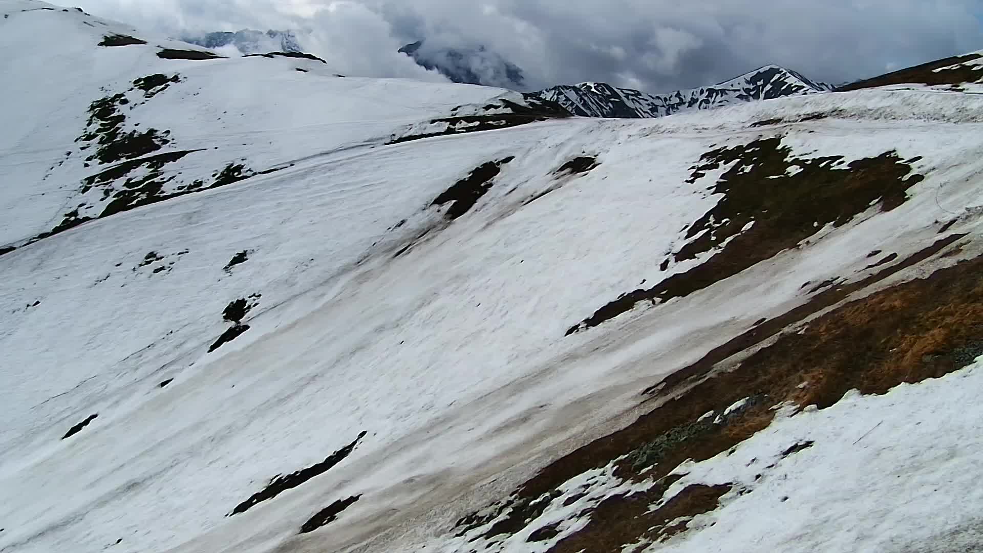
Historia alrededor de Mięguszowiecki Szczyt Pośredni
Ciudades cerca de Mięguszowiecki Szczyt Pośredni
- Zakopanea 15 km
- Poprada 22 km
- Kežmaroka 28 km
- Nowy Targa 33 km
- Liptovský Mikuláša 34 km
- Spišská Nová Vesa 45 km