Mięguszowiecki Szczyt Pośredni
2,393 m7,851 ft
Mountain · High Tatras · Slovakia
Mięguszowiecki Szczyt Pośredni is a mountain situated on the main ridge of the Tatra Mountains in the High Tatras mountain range on the border between Poland and Slovakia. It's the lowest of the three Mięguszowiecki Summits and it is located in the middle of the group.
From Wikipedia, CC BY-SA · Read the article
At the summit · forecast for 10:00 AM
-3 °CFog · wind 5 km/h from the NE
 See it in 3D
Weather at the summit of Mięguszowiecki Szczyt Pośredni, 2,393 m
- 10:00 AM-3 °CNE 5 km/h0.1 mm
- 1:00 PM-2 °CN 7 km/h–
- 4:00 PM-4 °CN 7 km/h–
- 7:00 PM-5 °CN 8 km/h–
- 10:00 PM-5 °CN 8 km/h–
- 1:00 AM-6 °CN 8 km/h–
- 4:00 AM-5 °CN 9 km/h–
- 7:00 AM-5 °CN 7 km/h–
| Day | Sky | High / low | Rain | Wind up to |
|---|---|---|---|---|
| Today | Fog | -2 °C / -5 °C | 0.1 mm | 8 km/h |
| Fri, Oct 30 | Partly cloudy | -2 °C / -7 °C | – | 10 km/h |
| Sat, Oct 31 | Light snow | -5 °C / -9 °C | 2.6 mm | 10 km/h |
| Sun, Nov 1 | Cloudy | -6 °C / -8 °C | 1.1 mm | 6 km/h |
| Mon, Nov 2 | Cloudy | -5 °C / -7 °C | 0.2 mm | 8 km/h |
| Tue, Nov 3 | Cloudy | -8 °C / -10 °C | 0.1 mm | 9 km/h |
| Wed, Nov 4 | Snow | -8 °C / -9 °C | 2.3 mm | 9 km/h |
Forecast by MET Norway (CC BY 4.0), updated 09:20 AM GMT+1. Times are local.
Facts
- What it is
- Mountain
- Height above sea level
- 2,393 m (7,851 ft)
- Range
- High Tatras
- Country
- Slovakia
- Coordinates
- 49.185°N 20.062°E
- Source
- Wikidata, CC0
Mięguszowiecki Szczyt Pośredni
Mountain between Poland and Slovakia
Mięguszowiecki Szczyt Pośredni is a mountain situated on the main ridge of the Tatra Mountains in the High Tatras mountain range on the border between Poland and Slovakia. It's the lowest of the three Mięguszowiecki Summits and it is located in the middle of the group. The peak has an elevation of 2393 meters, making it one of the highest mountains in Poland.
From Wikipedia, CC BY-SA · Read the article
Peaks near Mięguszowiecki Szczyt Pośredni
- Veľký Mengusovský štít2,438 m · 0.3 km awayOn the map
- Mięguszowiecki Szczyt Czarny2,398 m · 0.5 km awayOn the map
- Cubryna2,378 m · 0.7 km awayOn the map
- Mnich2,068 m · 1 km awayOn the map
- Żabi Koń2,291 m · 1.5 km awayOn the map
- Niżnie Rysy2,430 m · 1.9 km awayOn the map
- Rysy2,501 m · 2 km awayOn the map
- Żabi Szczyt Wyżni2,263 m · 2 km awayOn the map
- Hrubý štít2,172 m · 2.1 km awayOn the map
- Ťažký štít2,520 m · 2.5 km awayOn the map
Highest in the High Tatras
- Gerlachovský štít2,654 mOn the map
- Lomnický štít2,634 mOn the map
- Ľadový štít2,627 mOn the map
- Mięguszowiecki Szczyt Pośredni2,393 mOn the map
Highest mountains in Slovakia
- Gerlachovský štít2,654 mOn the map
- Lomnický štít2,634 mOn the map
- Ľadový štít2,627 mOn the map
- Kriváň2,494 mOn the map
- Slavkovský štít2,452 mOn the map
- Mięguszowiecki Szczyt Pośredni2,393 mOn the map
- Świnica2,302 mOn the map
- Bystrá2,248 mOn the map
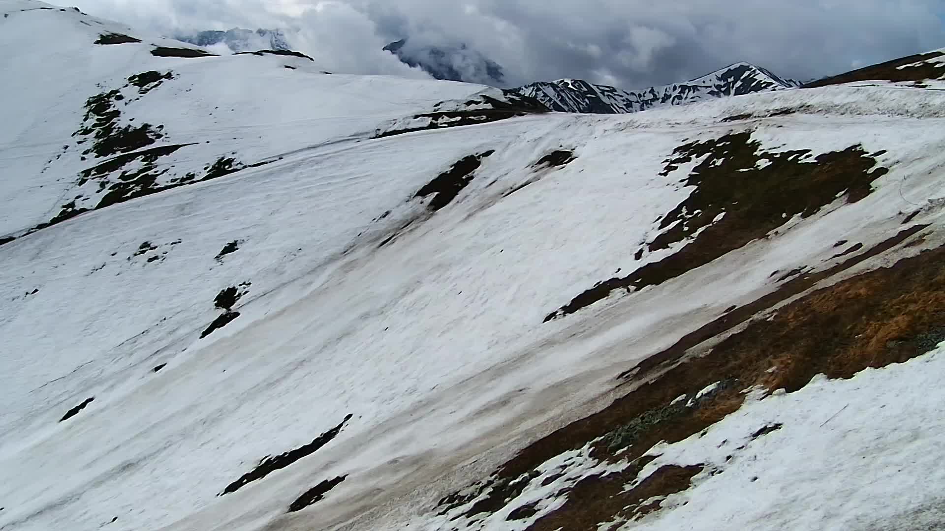
Webcams near Mięguszowiecki Szczyt Pośredni


History around Mięguszowiecki Szczyt Pośredni
Towns near Mięguszowiecki Szczyt Pośredni
- Zakopane15 km away
- Poprad22 km away
- Kežmarok28 km away
- Nowy Targ33 km away
- Liptovský Mikuláš34 km away
- Spišská Nová Ves45 km away