Montañas de Italia
Rauchkofel
3251 m10.666 ft
Montaña · Zillertaler Hauptkamm · Italia · Austria
The Rauhkofel or Rauchkofel is a summit on the main crest of the Zillertal Alps, which forms the border between the Austrian state of Tyrol and the Italian province of South Tyrol. The name of the mountain comes from the rugged appearance of the granite blocks that form the summit.
De Wikipedia, CC BY-SA · Leer el artículo
En la cumbre · pronóstico para las 17:00
-5 °CNieve · viento de 8 km/h del NO
 Verla en 3D
Clima en la cumbre de Rauchkofel, 3251 m
- 17:00-5 °CNO 8 km/h1,5 mm
- 20:00-6 °CN 8 km/h1,1 mm
- 23:00-7 °CNO 7 km/h0,3 mm
- 2:00-8 °CN 8 km/h–
- 5:00-8 °CN 7 km/h–
- 8:00-9 °CNE 8 km/h–
- 11:00-7 °CN 8 km/h–
- 14:00-6 °CN 5 km/h–
| Día | Cielo | Máx. / mín. | Lluvia | Viento hasta |
|---|---|---|---|---|
| jue, 29 oct | Despejado | -6 °C / -12 °C | 0,1 mm | 8 km/h |
| vie, 30 oct | Despejado | -5 °C / -13 °C | – | 7 km/h |
| sáb, 31 oct | Despejado | -6 °C / -14 °C | – | 8 km/h |
| dom, 1 nov | Nieve | -12 °C / -14 °C | 3,1 mm | 8 km/h |
| lun, 2 nov | Mayormente despejado | -8 °C / -14 °C | 0,1 mm | 8 km/h |
| mar, 3 nov | Nublado | -10 °C / -13 °C | 0,6 mm | 8 km/h |
| mié, 4 nov | Despejado | -3 °C / -13 °C | 0,4 mm | 5 km/h |
Pronóstico de MET Norway (CC BY 4.0), actualizado a las 14:17 CET. Horas locales.
Ficha técnica
- Tipo
- Montaña
- Altitud sobre el nivel del mar
- 3251 m (10.666 ft)
- Aislamiento
- a 7,2 km de un terreno más alto
- Cordillera
- Zillertaler Hauptkamm
- Coordenadas
- 47.076°N 12.092°E
- Fuente
- Wikidata, CC0
Picos cerca de Rauchkofel
- Rötspitze3496 m · a 10 kmEn el mapa
- Dreiherrnspitze3499 m · a 11 kmEn el mapa
- Großer Löffler3379 m · a 14 kmEn el mapa
- Lenkstein3236 m · a 16 kmEn el mapa
- Schwarzenstein3369 m · a 18 kmEn el mapa
- Hochgall3436 m · a 19 kmEn el mapa
- Schneebiger Nock3358 m · a 19 kmEn el mapa
- Großvenediger3657 m · a 20 kmEn el mapa
- Rainerhorn3559 m · a 21 kmEn el mapa
- Kreuzjoch2558 m · a 21 kmEn el mapa
Los más altos de Zillertaler Hauptkamm
- Hochfeiler3509 mEn el mapa
- Großer Möseler3480 mEn el mapa
- Turnerkamp3418 mEn el mapa
- Großer Löffler3379 mEn el mapa
- Schwarzenstein3369 mEn el mapa
- III. Hornspitze3254 mEn el mapa
- Rauchkofel3251 mEn el mapa
- Dreiecker2892 mEn el mapa
Montañas más altas de Italia
- Mont Blanc4806 mEn el mapa
- Liskamm4532 mEn el mapa
- Cervino4478 mEn el mapa
- Punta Walker4208 mEn el mapa
- Grandes Jorasses4208 mEn el mapa
- Dent d'Hérens4173 mEn el mapa
- Breithorn4160 mEn el mapa
- Rauchkofel3251 mEn el mapa
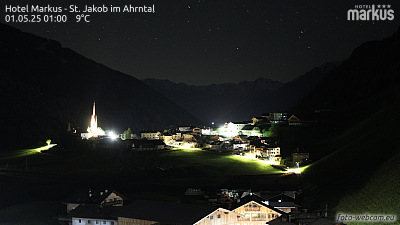
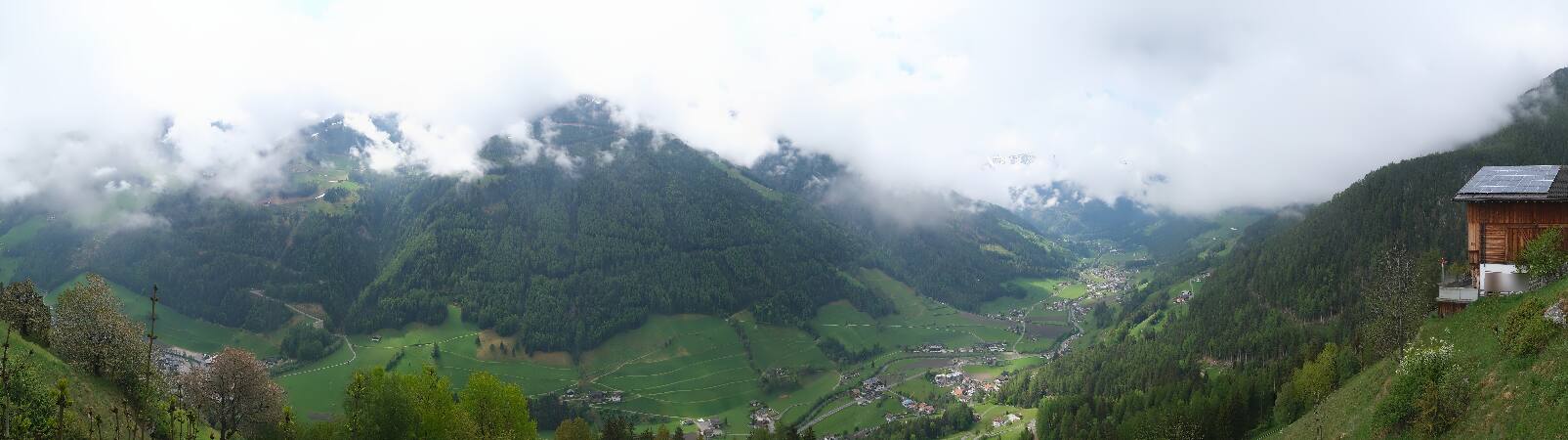
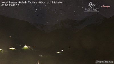
Cámaras web cerca de Rauchkofel

Ciudades cerca de Rauchkofel
- Bressanonea 52 km
- Innsbrucka 57 km
- Saalfelden am Steinernen Meera 69 km