Montagnes de Italie
Rauchkofel
3 251 m10 666 ft
Montagne · Zillertaler Hauptkamm · Italie · Autriche
The Rauhkofel or Rauchkofel is a summit on the main crest of the Zillertal Alps, which forms the border between the Austrian state of Tyrol and the Italian province of South Tyrol. The name of the mountain comes from the rugged appearance of the granite blocks that form the summit.
Source : Wikipedia, CC BY-SA · Lire l’article
Au sommet · prévision pour 22:00
-6 °CPlutôt dégagé · vent 5 km/h du E
 Voir en 3D
Météo au sommet : Rauchkofel, 3 251 m
- 22:00-6 °CE 5 km/h–
- 1:00-7 °CE 5 km/h–
- 4:00-9 °CE 6 km/h–
- 7:00-9 °CE 7 km/h–
- 10:00-4 °CN 8 km/h0,3 mm
- 13:00-4 °CN 7 km/h2,5 mm
- 16:00-5 °CNO 8 km/h1,6 mm
- 19:00-6 °CN 8 km/h0,8 mm
| Jour | Ciel | Max. / min. | Pluie | Vent jusqu’à |
|---|---|---|---|---|
| mer. 28 oct. | Neige | -4 °C / -9 °C | 5,5 mm | 9 km/h |
| jeu. 29 oct. | Dégagé | -5 °C / -12 °C | 0,1 mm | 10 km/h |
| ven. 30 oct. | Dégagé | -4 °C / -14 °C | – | 6 km/h |
| sam. 31 oct. | Dégagé | -4 °C / -13 °C | – | 5 km/h |
| dim. 1 nov. | Dégagé | -5 °C / -13 °C | – | 8 km/h |
| lun. 2 nov. | Plutôt dégagé | -7 °C / -12 °C | 2,1 mm | 11 km/h |
| mar. 3 nov. | Neige | -10 °C / -12 °C | 9,7 mm | 9 km/h |
Prévisions de MET Norway (CC BY 4.0), mises à jour à 14:17 UTC+1. Heures locales.
Fiche technique
- Type
- Montagne
- Altitude
- 3 251 m (10 666 ft)
- Isolement
- à 7,2 km d’un terrain plus haut
- Massif
- Zillertaler Hauptkamm
- Coordonnées
- 47.076°N 12.092°E
- Source
- Wikidata, CC0
Sommets près de Rauchkofel
- Rötspitze3 496 m · à 10 kmSur la carte
- Dreiherrnspitze3 499 m · à 11 kmSur la carte
- Monte Lovello3 379 m · à 14 kmSur la carte
- Lenkstein3 236 m · à 16 kmSur la carte
- Schwarzenstein3 369 m · à 18 kmSur la carte
- Hochgall3 436 m · à 19 kmSur la carte
- Schneebiger Nock3 358 m · à 19 kmSur la carte
- Grossvenediger3 657 m · à 20 kmSur la carte
- Rainerhorn3 559 m · à 21 kmSur la carte
- Kreuzjoch2 558 m · à 21 kmSur la carte
Les plus hauts : Zillertaler Hauptkamm
- Gran Pilastro3 509 mSur la carte
- Grande Mèsule3 480 mSur la carte
- Turnerkamp3 418 mSur la carte
- Monte Lovello3 379 mSur la carte
- Schwarzenstein3 369 mSur la carte
- III. Hornspitze3 254 mSur la carte
- Rauchkofel3 251 mSur la carte
- Dreiecker2 892 mSur la carte
Plus hautes montagnes : Italie
- mont Blanc4 806 mSur la carte
- Liskamm4 532 mSur la carte
- Cervin4 478 mSur la carte
- pointe Walker4 208 mSur la carte
- Grandes Jorasses4 208 mSur la carte
- dent d'Hérens4 173 mSur la carte
- Breithorn4 160 mSur la carte
- Rauchkofel3 251 mSur la carte
Webcams près de Rauchkofel
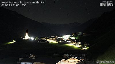

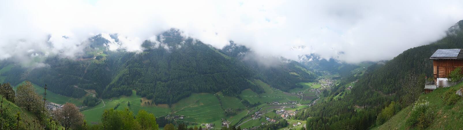
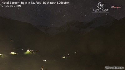
Villes près de Rauchkofel
- Bressanoneà 52 km
- Innsbruckà 57 km
- Saalfelden am Steinernen Meerà 69 km