Montañas de Suiza
Schneehüenerstock
2773 m9098 ft
Montaña · Oberalpstock-Clariden-Schärhorn Group · Suiza
Der Schneehüenerstock, auch als Unghürstöckli bezeichnet, ist ein Berg in den Glarner Alpen mit einer Höhe von 2773 m ü. M.
De Wikipedia en alemán, CC BY-SA · Leer el artículo
En la cumbre · pronóstico para las 22:00
-2 °CNiebla · viento de 4 km/h del NO
 Verla en 3D
Clima en la cumbre de Schneehüenerstock, 2773 m
- 22:00-2 °CNO 4 km/h–
- 1:00-4 °CO 5 km/h–
- 4:00-4 °CNE 6 km/h0,1 mm
- 7:00-3 °CN 5 km/h–
- 10:001 °CN 8 km/h0,1 mm
- 13:000 °CN 10 km/h–
- 16:00-1 °CN 9 km/h–
- 19:00-2 °CN 7 km/h–
| Día | Cielo | Máx. / mín. | Lluvia | Viento hasta |
|---|---|---|---|---|
| mié, 28 oct | Nublado | 1 °C / -4 °C | 0,2 mm | 10 km/h |
| jue, 29 oct | Despejado | 5 °C / -10 °C | – | 8 km/h |
| vie, 30 oct | Despejado | 3 °C / -10 °C | – | 6 km/h |
| sáb, 31 oct | Despejado | 4 °C / -8 °C | – | 4 km/h |
| dom, 1 nov | Despejado | 3 °C / -11 °C | – | 5 km/h |
| lun, 2 nov | Despejado | -1 °C / -8 °C | – | 9 km/h |
| mar, 3 nov | Parcialmente nublado | -1 °C / -9 °C | – | 10 km/h |
Pronóstico de MET Norway (CC BY 4.0), actualizado a las 20:17 CET. Horas locales.
Ficha técnica
- Tipo
- Montaña
- Altitud sobre el nivel del mar
- 2773 m (9098 ft)
- Cordillera
- Oberalpstock-Clariden-Schärhorn Group
- País
- Suiza
- Coordenadas
- 46.672°N 8.656°E
- Fuente
- Wikidata, CC0
Picos cerca de Schneehüenerstock
- Dammastock3630 m · a 18 kmEn el mapa
- Galenstock3586 m · a 19 kmEn el mapa
- Hinter Tierberg3445 m · a 20 kmEn el mapa
- Titlis3238 m · a 20 kmEn el mapa
- Piz Medel3210 m · a 20 kmEn el mapa
- Witenwasserenstock3085 m · a 21 kmEn el mapa
- Pizzo Rotondo3192 m · a 22 kmEn el mapa
- Clariden3267 m · a 25 kmEn el mapa
- Tödi3612 m · a 25 kmEn el mapa
- Bifertenstock3421 m · a 27 kmEn el mapa
Los más altos de Oberalpstock-Clariden-Schärhorn Group
- Oberalpstock3328 mEn el mapa
- Schärhorn3294 mEn el mapa
- Clariden3267 mEn el mapa
- Düssi3256 mEn el mapa
- Piz Cambrialas3208 mEn el mapa
- Gross Windgällen3187 mEn el mapa
- Gross Ruchen3138 mEn el mapa
- Piz Giuv3096 mEn el mapa
- Schneehüenerstock2773 mEn el mapa
Montañas más altas de Suiza
- Pico Dufour4634 mEn el mapa
- Dom4546 mEn el mapa
- Liskamm4532 mEn el mapa
- Weisshorn4505 mEn el mapa
- Cervino4478 mEn el mapa
- Dent Blanche4357 mEn el mapa
- Grand Combin4309 mEn el mapa
- Finsteraarhorn4274 mEn el mapa
- Zinalrothorn4221 mEn el mapa
- Alphubel4206 mEn el mapa
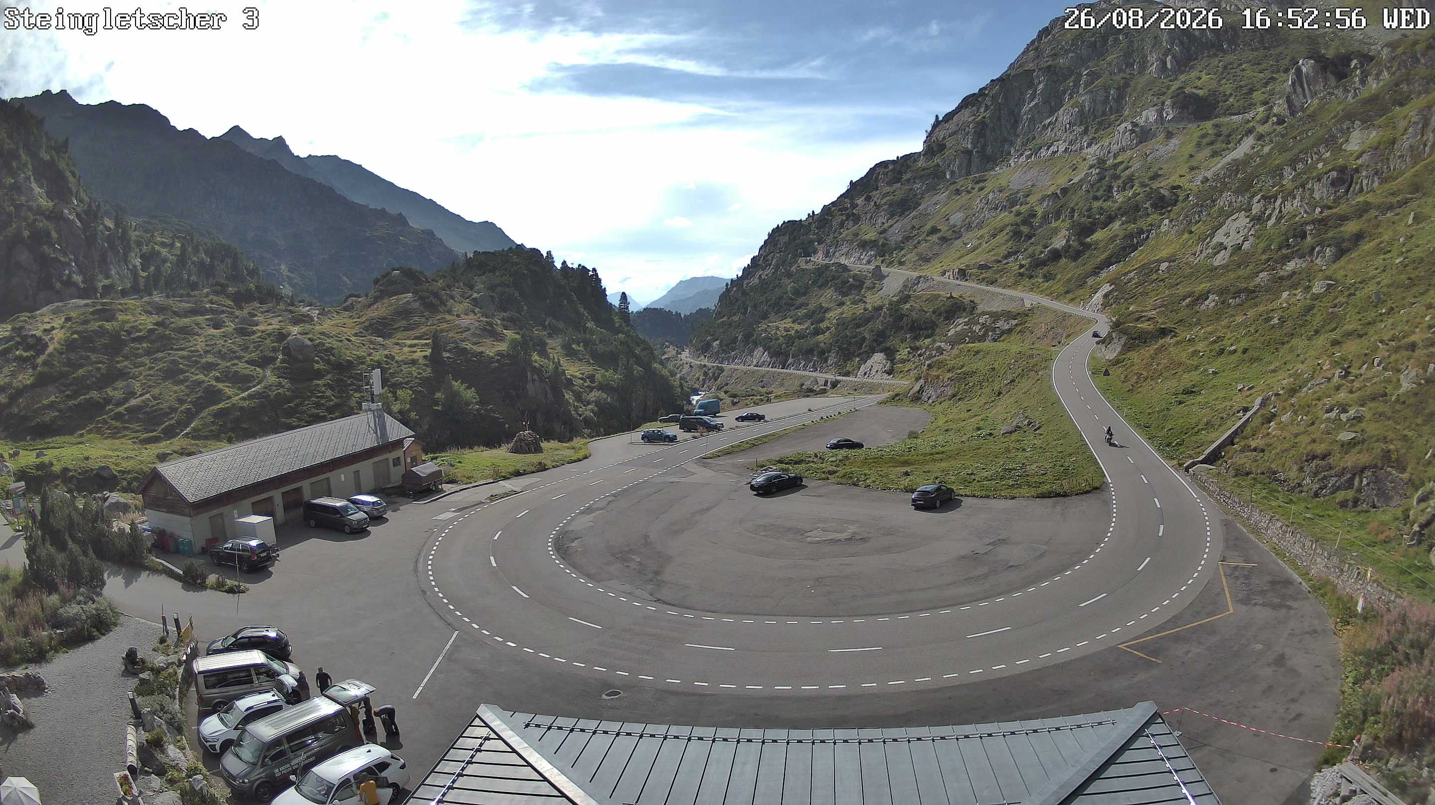
Cámaras web cerca de Schneehüenerstock
Historia alrededor de Schneehüenerstock
- The Rhineland massacres: Members of the People's Crusade led by Count Emicho destroy most of the Jewish communities along the Rhine in a series of large…1096
- Göschenen riots1875
- Battle of Gotthard Pass1799
- Earthquake — Switzerland1601
- F/A-18 Absturz am Sustenpass2016
- Explosionsunglück am Steingletscher1992
- Lawinenunfall bei Wassen1888
- Battle of Devil's Bridge1799