Shastina
12.335 ft3760 m
Montaña · California Cascades · Estados Unidos
Shastina is a satellite cone of Mount Shasta. It is the second youngest of four overlapping volcanic cones which together form the most voluminous stratovolcano in the Cascade Range.
De Wikipedia, CC BY-SA · Leer el artículo
En la cumbre · pronóstico para las 21:00
12 °FParcialmente nublado · viento de 2 mph del N
 Verla en 3D
Clima en la cumbre de Shastina, 12.335 ft
- 21:0012 °FN 2 mph–
- 0:0011 °FN 3 mph–
- 3:0011 °FN 3 mph–
- 6:0012 °FN 4 mph–
- 9:0014 °FN 6 mph–
- 12:0019 °FNO 6 mph–
- 15:0018 °FNO 8 mph–
- 18:0012 °FNO 8 mph–
| Día | Cielo | Máx. / mín. | Lluvia | Viento hasta |
|---|---|---|---|---|
| mar, 27 oct | Mayormente despejado | 19 °F / 6 °F | – | 9 mph |
| mié, 28 oct | Despejado | 27 °F / 7 °F | – | 6 mph |
| jue, 29 oct | Nublado | 25 °F / 9 °F | 0 pulg. | 5 mph |
| vie, 30 oct | Parcialmente nublado | 19 °F / 10 °F | 0,02 pulg. | 6 mph |
| sáb, 31 oct | Despejado | 14 °F / 5 °F | 0,02 pulg. | 7 mph |
| dom, 1 nov | Despejado | 22 °F / 7 °F | – | 1 mph |
| lun, 2 nov | Parcialmente nublado | 35 °F / 16 °F | – | 3 mph |
Pronóstico de MET Norway (CC BY 4.0), actualizado a las 18:17 GMT-7. Horas locales.
Ficha técnica
- Tipo
- Montaña
- Altitud sobre el nivel del mar
- 12.335 ft (3760 m)
- Cordillera
- California Cascades
- País
- Estados Unidos
- Coordenadas
- 41.409°N 122.224°W
- Fuente
- Wikidata, CC0
Shastina
Satellite cone of Mount Shasta, California, United States
Shastina is a satellite cone of Mount Shasta. It is the second youngest of four overlapping volcanic cones which together form the most voluminous stratovolcano in the Cascade Range. At 12,335 feet (3,760 m), Shastina is taller than Mount Adams and would rank as the third highest volcano in the Cascades behind Mount Rainier and Shasta were it not nestled on the western flank of its higher neighbor.
De Wikipedia, CC BY-SA · Leer el artículo
Picos cerca de Shastina
- Monte Shasta14.180 ft · a 2,4 kmEn el mapa
- Black Butte6334 ft · a 11 kmEn el mapa
- Mount Bradley5563 ft · a 22 kmEn el mapa
- Rainbow Mountain7619 ft · a 23 kmEn el mapa
- Montaña Eddy9037 ft · a 24 kmEn el mapa
- Medicine Lake Volcano7921 ft · a 55 kmEn el mapa
- GoosenestMontaña · a 35 kmEn el mapa
Los más altos de California Cascades
- Monte Shasta14.180 ftEn el mapa
- Shastina12.335 ftEn el mapa
- Pico Lassen10.463 ftEn el mapa
- Mount Tehama9239 ftEn el mapa
- Crater Peak8684 ftEn el mapa
- Loomis Peak8658 ftEn el mapa
- Prospect Peak8323 ftEn el mapa
- Mount Conard8117 ftEn el mapa
- Diamond Peak7968 ftEn el mapa
Montañas más altas de Estados Unidos
- Denali20.308 ftEn el mapa
- Monte San Elías18.009 ftEn el mapa
- Monte Foraker17.402 ftEn el mapa
- Monte Bona16.535 ftEn el mapa
- Monte Blackburn16.390 ftEn el mapa
- Monte Sanford16.237 ftEn el mapa
- Monte Vancouver15.787 ftEn el mapa
- Monte Churchill15.636 ftEn el mapa
- Monte Fairweather15.325 ftEn el mapa
- Mount Hubbard14.951 ftEn el mapa
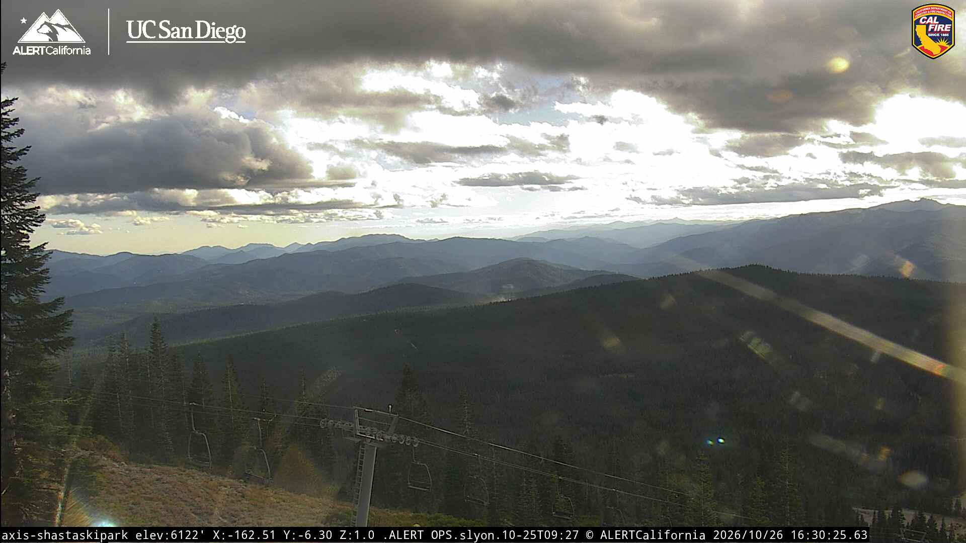
Cámaras web cerca de Shastina

Historia alrededor de Shastina
- Mill Fire2022
- Lava Fire2021
- Boles fire2014
Ciudades cerca de Shastina
- Weeda 13 km