Rainbow Mountain
7619 ft2322 m
Volcán · Cordillera de las Cascadas · Estados Unidos
Rainbow Mountain is a stratovolcano at the southern end of the Cascade Range in Siskiyou County, California. It is located between Mount Shasta and the Medicine Lake Volcano, consisting of andesitic and dacitic rocks that were produced during the Early Pleistocene subepoch.
De Wikipedia, CC BY-SA · Leer el artículo
En la cumbre · pronóstico para las 14:00
44 °FDespejado · viento de 5 mph del O
 Verla en 3D
Clima en la cumbre de Rainbow Mountain, 7619 ft
- 14:0044 °FO 5 mph–
- 17:0040 °FO 4 mph–
- 20:0026 °FO 2 mph–
- 23:0026 °FSO 2 mph–
- 2:0028 °FSO 2 mph–
- 5:0030 °FO 2 mph–
- 8:0031 °FSO 2 mph–
- 11:0042 °FSE 6 mph–
| Día | Cielo | Máx. / mín. | Lluvia | Viento hasta |
|---|---|---|---|---|
| jue, 29 oct | Nublado | 45 °F / 25 °F | – | 8 mph |
| vie, 30 oct | Parcialmente nublado | 39 °F / 22 °F | 0,02 pulg. | 13 mph |
| sáb, 31 oct | Nieve | 33 °F / 22 °F | 0,2 pulg. | 11 mph |
| dom, 1 nov | Mayormente despejado | 31 °F / 19 °F | – | 7 mph |
| lun, 2 nov | Nublado | 41 °F / 24 °F | – | 2 mph |
| mar, 3 nov | Despejado | 53 °F / 39 °F | – | 2 mph |
| mié, 4 nov | Nublado | 51 °F / 32 °F | – | 8 mph |
Pronóstico de MET Norway (CC BY 4.0), actualizado a las 10:20 GMT-7. Horas locales.
Ficha técnica
- Tipo
- Volcán
- Altitud sobre el nivel del mar
- 7619 ft (2322 m)
- Cordillera
- Cordillera de las Cascadas
- País
- Estados Unidos
- Coordenadas
- 41.473°N 121.956°W
- Número de volcán
- 323803 en el Programa Global de Vulcanismo
- Fuente
- Wikidata, CC0
Rainbow Mountain (California)
Stratovolcano in Siskiyou County, California, United States
Rainbow Mountain is a stratovolcano at the southern end of the Cascade Range in Siskiyou County, California. It is located between Mount Shasta and the Medicine Lake Volcano, consisting of andesitic and dacitic rocks that were produced during the Early Pleistocene subepoch. Its last known eruption is also of Pleistocene age.
De Wikipedia, CC BY-SA · Leer el artículo
Picos cerca de Rainbow Mountain
- Monte Shasta14.180 ft · a 21 kmEn el mapa
- Shastina12.335 ft · a 23 kmEn el mapa
- Medicine Lake Volcano7921 ft · a 32 kmEn el mapa
- Black Butte6334 ft · a 35 kmEn el mapa
- Mount Bradley5563 ft · a 41 kmEn el mapa
- Schonchin Butte5292 ft · a 46 kmEn el mapa
- Montaña Eddy9037 ft · a 47 kmEn el mapa
- Brushy Butte3852 ft · a 54 kmEn el mapa
- GoosenestMontaña · a 35 kmEn el mapa
- Soldier MountainMontaña · a 55 kmEn el mapa
Los más altos de Cordillera de las Cascadas
- Monte Rainier14.400 ftEn el mapa
- Monte Adams12.280 ftEn el mapa
- Monte McLoughlin9495 ftEn el mapa
- Monte Thielsen9183 ftEn el mapa
- Broken Top9177 ftEn el mapa
- Black Peak8976 ftEn el mapa
- Dome Peak8921 ftEn el mapa
- Silver Star Mountain8875 ftEn el mapa
- Rainbow Mountain7619 ftEn el mapa
Montañas más altas de Estados Unidos
- Denali20.308 ftEn el mapa
- Monte San Elías18.009 ftEn el mapa
- Monte Foraker17.402 ftEn el mapa
- Monte Bona16.535 ftEn el mapa
- Monte Blackburn16.390 ftEn el mapa
- Monte Sanford16.237 ftEn el mapa
- Monte Vancouver15.787 ftEn el mapa
- Monte Churchill15.636 ftEn el mapa
- Monte Fairweather15.325 ftEn el mapa
- Mount Hubbard14.951 ftEn el mapa
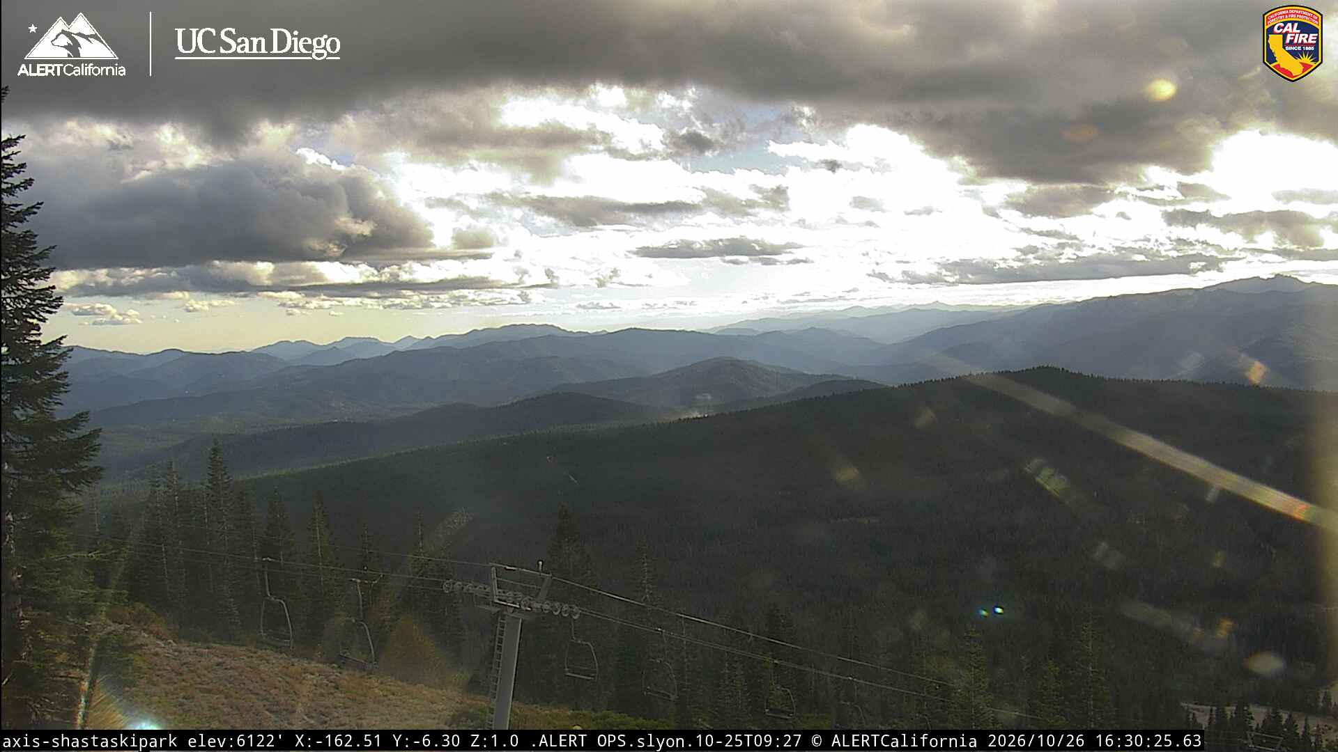
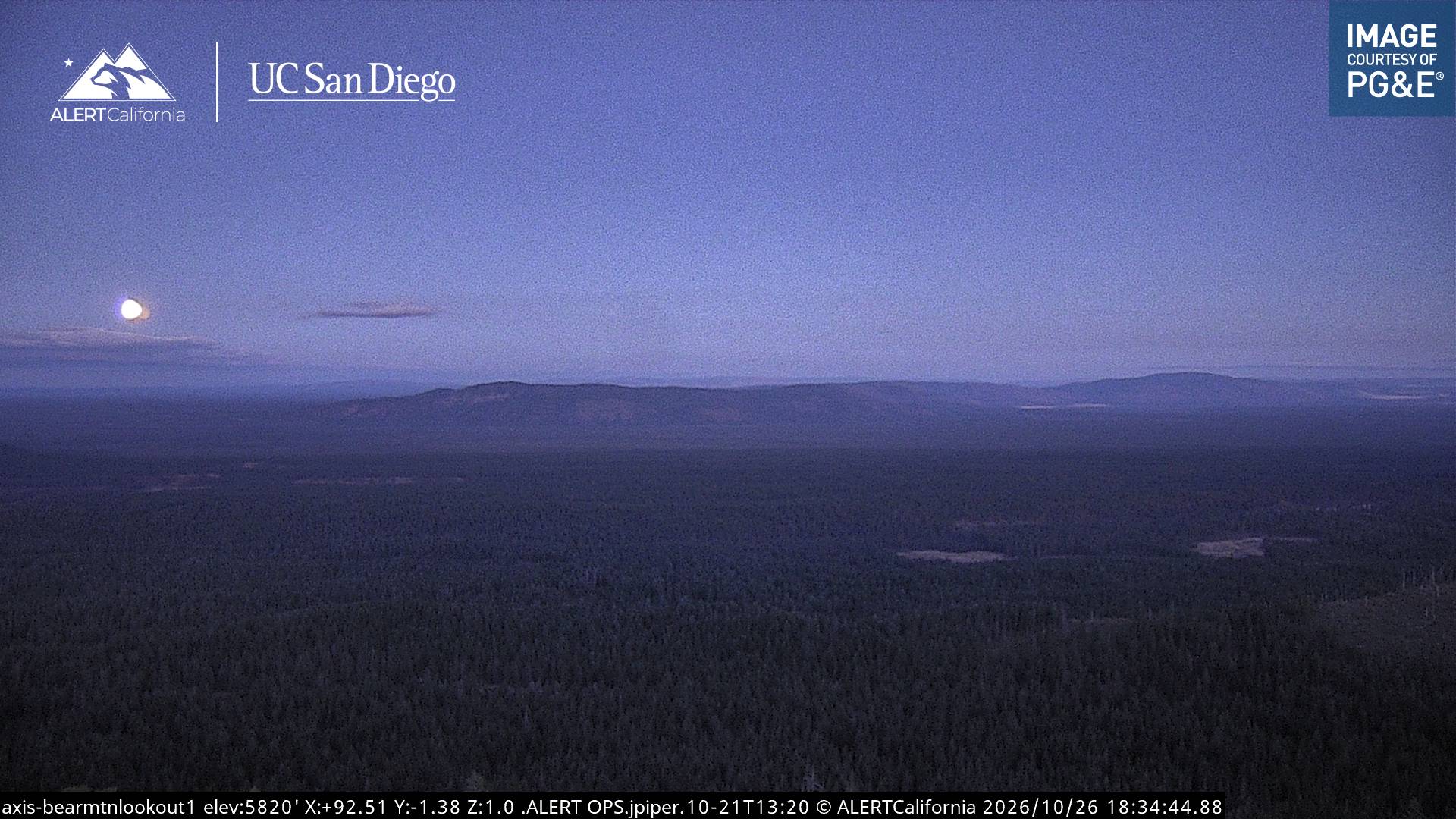
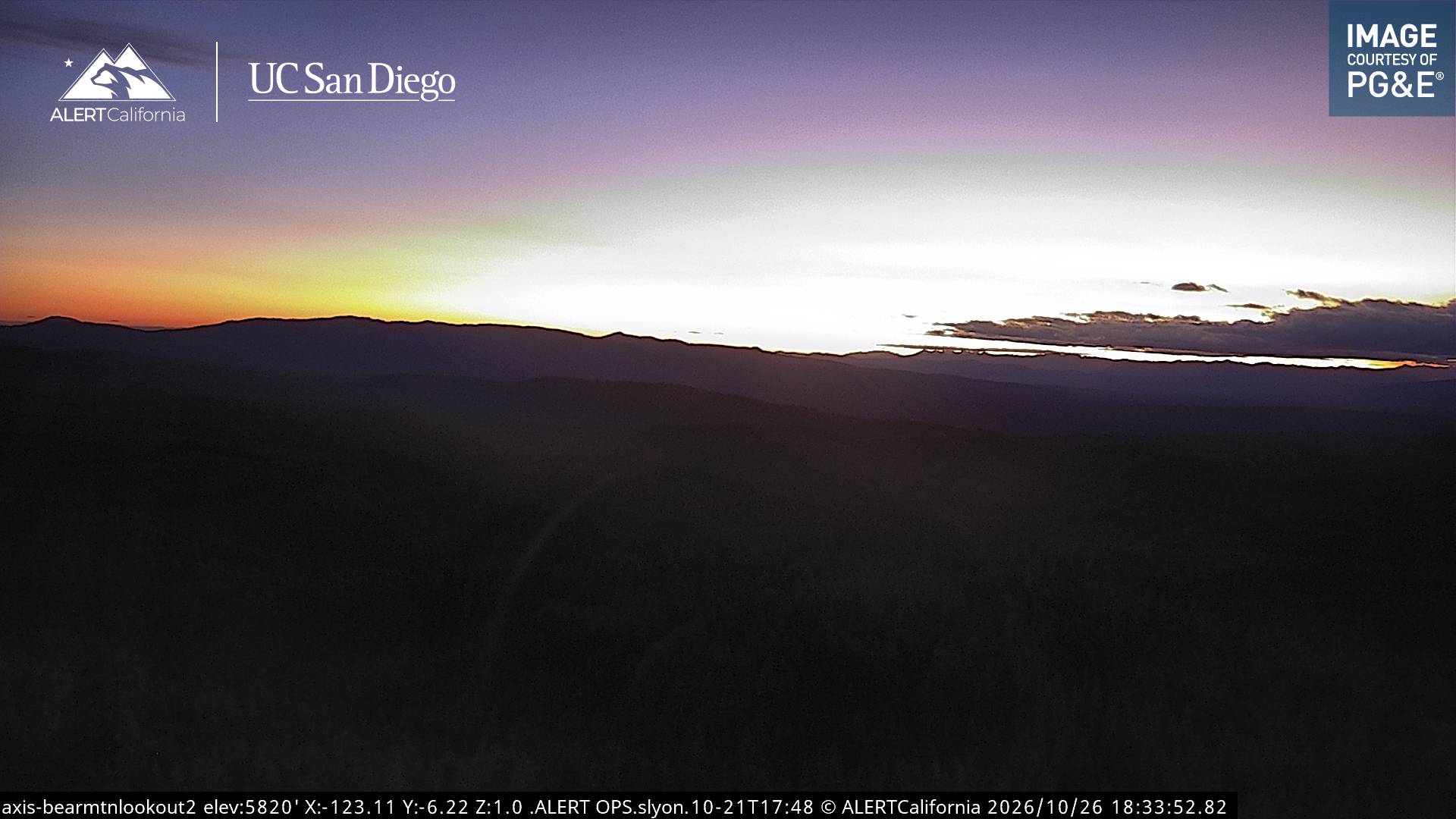
Cámaras web cerca de Rainbow Mountain

Historia alrededor de Rainbow Mountain
- Antelope Fire2021
Ciudades cerca de Rainbow Mountain
- Weeda 36 km