Rainbow Mountain
7,619 ft2,322 m
Volcano · Cascade Range · United States
Rainbow Mountain is a stratovolcano at the southern end of the Cascade Range in Siskiyou County, California. It is located between Mount Shasta and the Medicine Lake Volcano, consisting of andesitic and dacitic rocks that were produced during the Early Pleistocene subepoch.
From Wikipedia, CC BY-SA · Read the article
At the summit · forecast for 10:00 AM
41 °FCloudy · wind 4 mph from the SE
 See it in 3D
Weather at the summit of Rainbow Mountain, 7,619 ft
- 10:00 AM41 °FSE 4 mph–
- 1:00 PM45 °FS 7 mph–
- 4:00 PM44 °FS 9 mph–
- 7:00 PM28 °FSW 5 mph–
- 10:00 PM24 °FSW 6 mph–
- 1:00 AM26 °FSW 7 mph–
- 4:00 AM26 °FSW 7 mph–
- 7:00 AM23 °FSW 6 mph–
| Day | Sky | High / low | Rain | Wind up to |
|---|---|---|---|---|
| Today | Cloudy | 46 °F / 24 °F | – | 9 mph |
| Fri, Oct 30 | Partly cloudy | 38 °F / 23 °F | – | 11 mph |
| Sat, Oct 31 | Sleet | 33 °F / 24 °F | 0.16 in | 11 mph |
| Sun, Nov 1 | Cloudy | 33 °F / 24 °F | 0.02 in | 6 mph |
| Mon, Nov 2 | Partly cloudy | 44 °F / 26 °F | – | 4 mph |
| Tue, Nov 3 | Partly cloudy | 52 °F / 38 °F | – | 3 mph |
| Wed, Nov 4 | Clear | 50 °F / 35 °F | – | 9 mph |
Forecast by MET Norway (CC BY 4.0), updated 06:17 PM PDT. Times are local.
Facts
- What it is
- Volcano
- Height above sea level
- 7,619 ft (2,322 m)
- Range
- Cascade Range
- Country
- United States
- Coordinates
- 41.473°N 121.956°W
- Volcano number
- 323803 at the Global Volcanism Program
- Source
- Wikidata, CC0
Rainbow Mountain (California)
Stratovolcano in Siskiyou County, California, United States
Rainbow Mountain is a stratovolcano at the southern end of the Cascade Range in Siskiyou County, California. It is located between Mount Shasta and the Medicine Lake Volcano, consisting of andesitic and dacitic rocks that were produced during the Early Pleistocene subepoch. Its last known eruption is also of Pleistocene age.
From Wikipedia, CC BY-SA · Read the article
Peaks near Rainbow Mountain
- Mount Shasta14,180 ft · 21 km awayOn the map
- Shastina12,335 ft · 23 km awayOn the map
- Medicine Lake Volcano7,921 ft · 32 km awayOn the map
- Black Butte6,334 ft · 35 km awayOn the map
- Mount Bradley5,563 ft · 41 km awayOn the map
- Schonchin Butte5,292 ft · 46 km awayOn the map
- Mount Eddy9,037 ft · 47 km awayOn the map
- Brushy Butte3,852 ft · 54 km awayOn the map
- GoosenestMountain · 35 km awayOn the map
- Soldier MountainMountain · 55 km awayOn the map
Highest in the Cascade Range
- Mount Rainier14,400 ftOn the map
- Mount Adams12,280 ftOn the map
- Mount McLoughlin9,495 ftOn the map
- Mount Thielsen9,183 ftOn the map
- Broken Top9,177 ftOn the map
- Black Peak8,976 ftOn the map
- Dome Peak8,921 ftOn the map
- Silver Star Mountain8,875 ftOn the map
- Rainbow Mountain7,619 ftOn the map
Highest mountains in United States
- Denali20,308 ftOn the map
- Mount Saint Elias18,009 ftOn the map
- Mount Foraker17,402 ftOn the map
- Mount Bona16,535 ftOn the map
- Mount Blackburn16,390 ftOn the map
- Mount Sanford16,237 ftOn the map
- Mount Vancouver15,787 ftOn the map
- Mount Churchill15,636 ftOn the map
- Mount Fairweather15,325 ftOn the map
- Mount Hubbard14,951 ftOn the map
Webcams near Rainbow Mountain
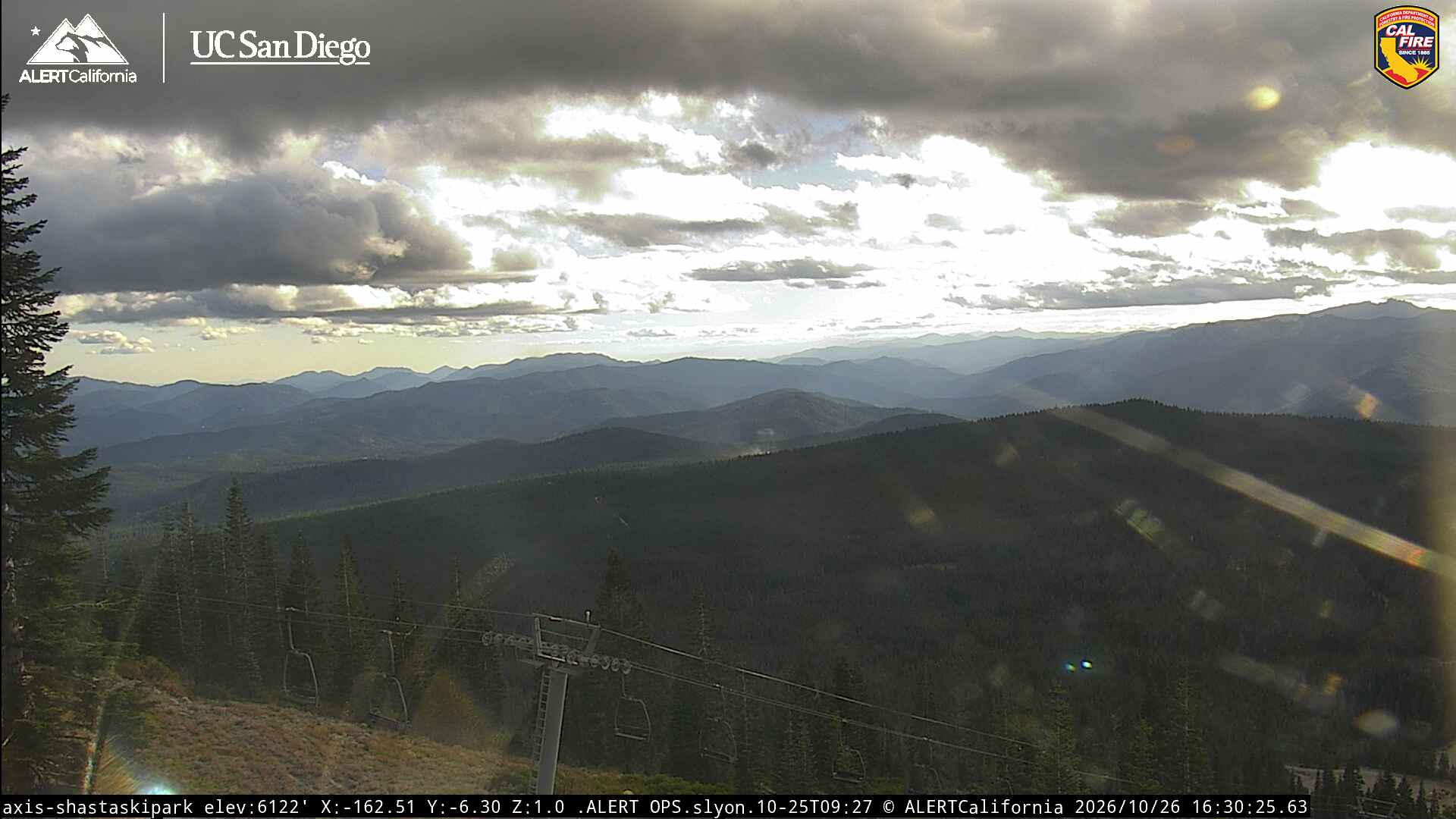
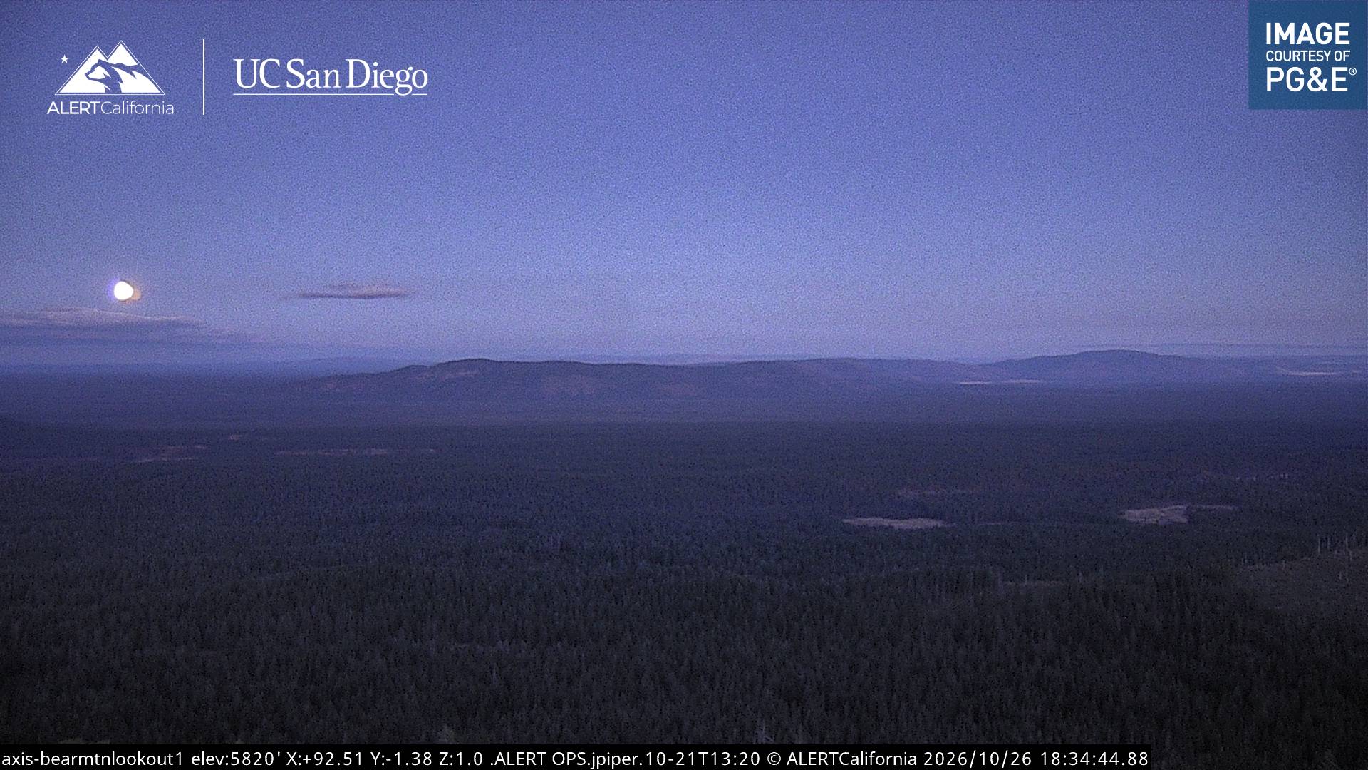
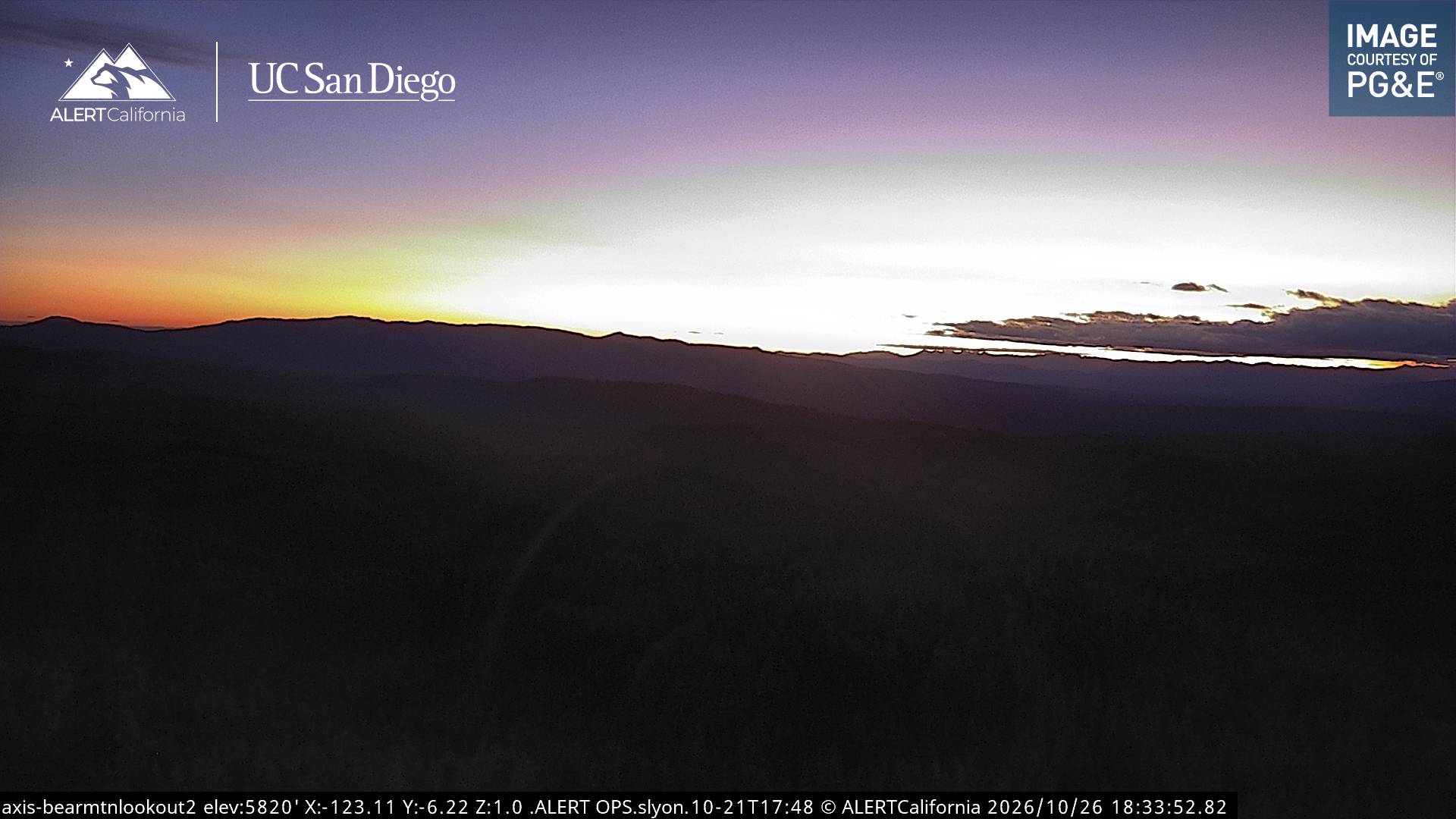

History around Rainbow Mountain
- Antelope Fire2021
Towns near Rainbow Mountain
- Weed36 km away