Medicine Lake Volcano
7,921 ft2,414 m
Volcano · California Cascades · United States
Medicine Lake Volcano is a large shield volcano in northeastern California about 30 mi (50 km) northeast of Mount Shasta. The volcano is located in a zone of east–west crustal extension east of the main axis of the Cascade Volcanic Arc and the Cascade Range.
From Wikipedia, CC BY-SA · Read the article
At the summit · forecast for 2:00 PM
40 °FClear · wind 5 mph from the S
 See it in 3D
Weather at the summit of Medicine Lake Volcano, 7,921 ft
- 2:00 PM40 °FS 5 mph–
- 5:00 PM38 °FSW 4 mph–
- 8:00 PM28 °FSW 2 mph–
- 11:00 PM28 °FS 4 mph–
- 2:00 AM28 °FS 4 mph–
- 5:00 AM28 °FSW 4 mph–
- 8:00 AM31 °FS 3 mph–
- 11:00 AM42 °FS 6 mph–
| Day | Sky | High / low | Rain | Wind up to |
|---|---|---|---|---|
| Thu, Oct 29 | Cloudy | 43 °F / 27 °F | – | 10 mph |
| Fri, Oct 30 | Partly cloudy | 38 °F / 26 °F | – | 15 mph |
| Sat, Oct 31 | Light snow | 33 °F / 24 °F | 0.06 in | 12 mph |
| Sun, Nov 1 | Partly cloudy | 29 °F / 20 °F | – | 8 mph |
| Mon, Nov 2 | Cloudy | 39 °F / 22 °F | – | 4 mph |
| Tue, Nov 3 | Clear | 52 °F / 37 °F | – | 3 mph |
| Wed, Nov 4 | Cloudy | 54 °F / 33 °F | – | 7 mph |
Forecast by MET Norway (CC BY 4.0), updated 10:19 AM PDT. Times are local.
Facts
- What it is
- Volcano
- Height above sea level
- 7,921 ft (2,414 m)
- Range
- California Cascades
- Country
- United States
- Coordinates
- 41.583°N 121.600°W
- Volcano number
- 323020 at the Global Volcanism Program
- Source
- Wikidata, CC0
Medicine Lake Volcano
Shield volcano in northeastern California, United States
Medicine Lake Volcano is a large shield volcano in northeastern California about 30 mi (50 km) northeast of Mount Shasta. The volcano is located in a zone of east–west crustal extension east of the main axis of the Cascade Volcanic Arc and the Cascade Range. The 0.6 mi (1 km) thick shield is 30 mi (50 km) from east to west and 50 mi (80 km) from north to south, and covers more than 800 sq mi (2,200 km2).
From Wikipedia, CC BY-SA · Read the article
10 recorded eruptions
Peaks near Medicine Lake Volcano
- Schonchin Butte5,292 ft · 18 km awayOn the map
- Rainbow Mountain7,619 ft · 32 km awayOn the map
- Brushy Butte3,852 ft · 47 km awayOn the map
- Mount Shasta14,180 ft · 53 km awayOn the map
- Shastina12,335 ft · 55 km awayOn the map
- Hospital Rock4,081 ft · 30 km awayOn the map
- Widow MountainMountain · 53 km awayOn the map
- GoosenestMountain · 54 km awayOn the map
- Soldier MountainMountain · 57 km awayOn the map
- Fox MountainMountain · 59 km awayOn the map
Highest in the California Cascades
- Mount Shasta14,180 ftOn the map
- Shastina12,335 ftOn the map
- Lassen Peak10,463 ftOn the map
- Mount Tehama9,239 ftOn the map
- Crater Peak8,684 ftOn the map
- Loomis Peak8,658 ftOn the map
- Prospect Peak8,323 ftOn the map
- Mount Conard8,117 ftOn the map
- Medicine Lake Volcano7,921 ftOn the map
Highest mountains in United States
- Denali20,308 ftOn the map
- Mount Saint Elias18,009 ftOn the map
- Mount Foraker17,402 ftOn the map
- Mount Bona16,535 ftOn the map
- Mount Blackburn16,390 ftOn the map
- Mount Sanford16,237 ftOn the map
- Mount Vancouver15,787 ftOn the map
- Mount Churchill15,636 ftOn the map
- Mount Fairweather15,325 ftOn the map
- Mount Hubbard14,951 ftOn the map
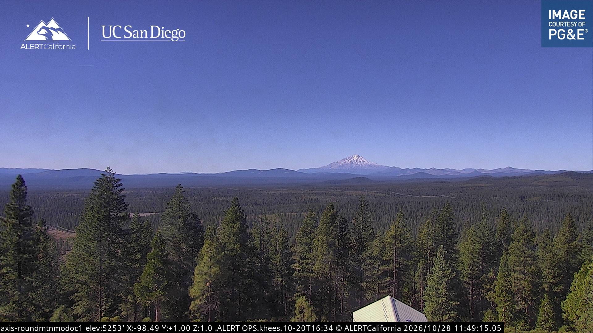
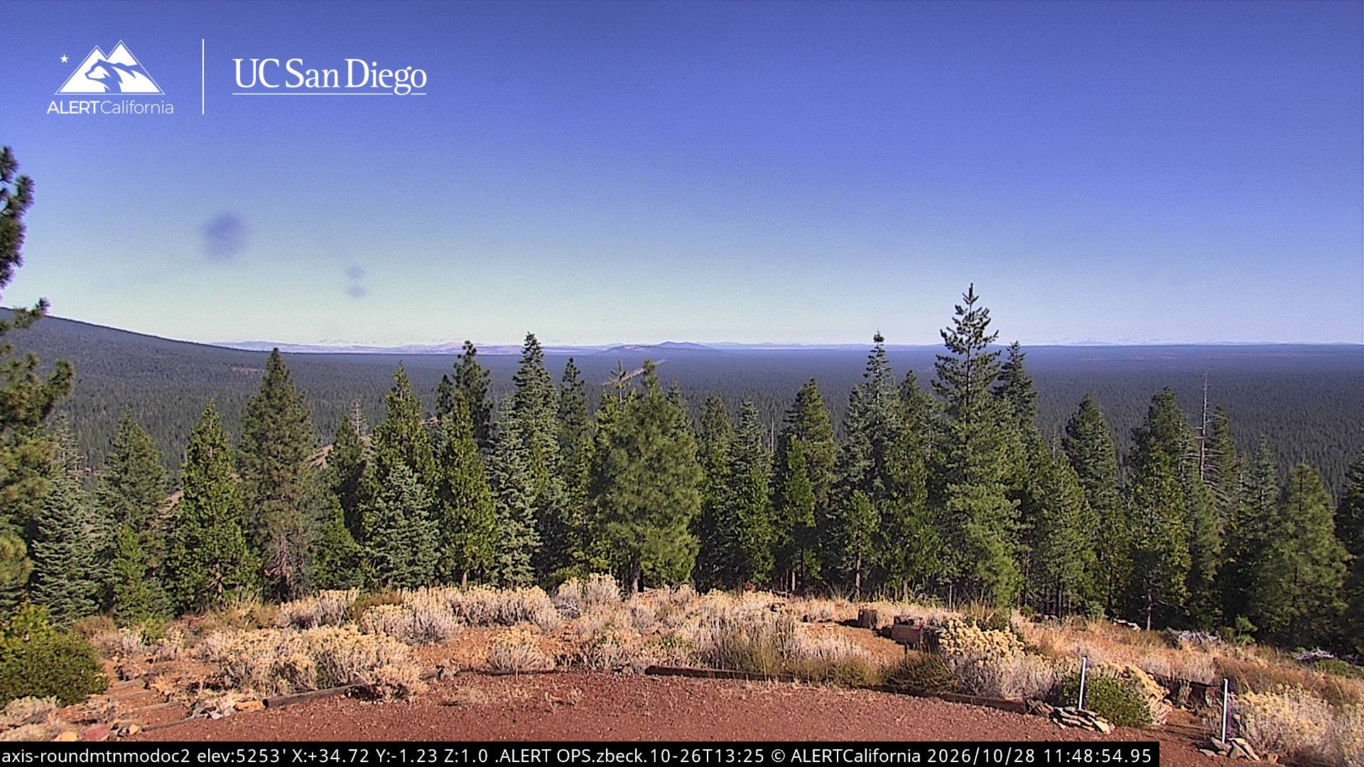
Webcams near Medicine Lake Volcano
Towns near Medicine Lake Volcano
- Weed68 km away
- Altamont70 km away
- Klamath Falls73 km away