Mountains in United States
See it in 3DMount Bradley
5,563 ft1,696 m
Mountain · United States
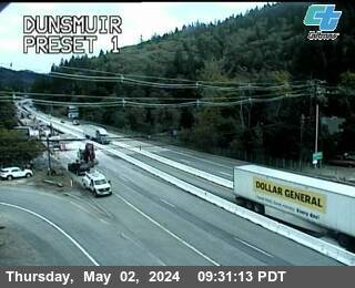
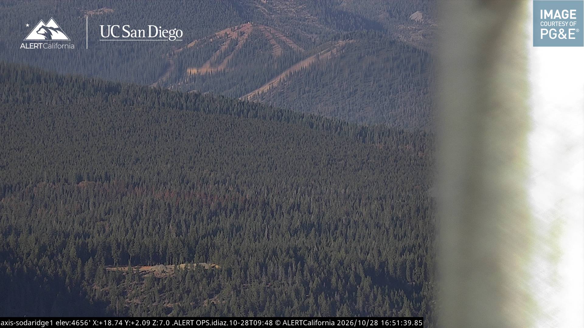
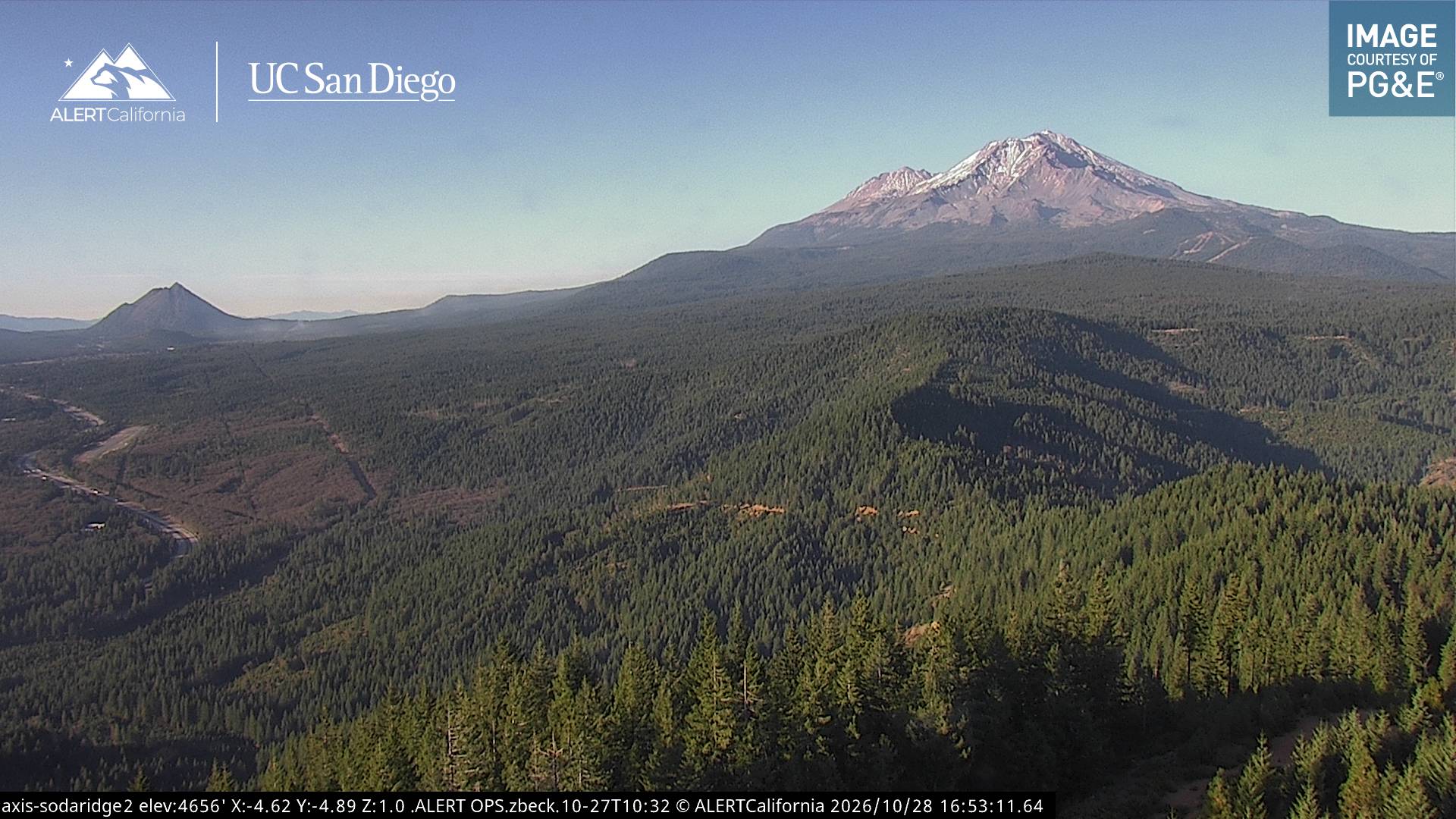
Mount Bradley is a summit in Siskiyou County, California, in the United States. It is in the Shasta–Trinity National Forest with an elevation of 5,563 feet (1,696 m). The peak rises over 3,000 feet (900 m) above City of Dunsmuir, California and the Sacramento River.
From Wikipedia, CC BY-SA · Read the article
At the summit · forecast for 9:00 PM
32 °FPartly cloudy · wind 4 mph from the NW
Weather at the summit of Mount Bradley, 5,563 ft
- 9:00 PM32 °FNW 4 mph–
- 12:00 AM30 °FNW 4 mph–
- 3:00 AM31 °FNW 4 mph–
- 6:00 AM32 °FNW 4 mph–
- 9:00 AM39 °FN 4 mph–
- 12:00 PM49 °FSE 5 mph–
- 3:00 PM52 °FS 7 mph–
- 6:00 PM43 °FS 4 mph–
| Day | Sky | High / low | Rain | Wind up to |
|---|---|---|---|---|
| Thu, Oct 29 | Cloudy | 52 °F / 30 °F | – | 7 mph |
| Fri, Oct 30 | Mostly clear | 48 °F / 28 °F | – | 9 mph |
| Sat, Oct 31 | Cloudy | 43 °F / 31 °F | 0.13 in | 5 mph |
| Sun, Nov 1 | Mostly clear | 44 °F / 28 °F | – | 6 mph |
| Mon, Nov 2 | Mostly clear | 52 °F / 26 °F | – | 3 mph |
| Tue, Nov 3 | Cloudy | 55 °F / 39 °F | – | 2 mph |
| Wed, Nov 4 | Clear | 54 °F / 37 °F | – | 3 mph |
Forecast by MET Norway (CC BY 4.0), updated 04:19 PM PDT. Times are local.
Facts
- What it is
- Mountain
- Height above sea level
- 5,563 ft (1,696 m)
- Country
- United States
- Coordinates
- 41.222°N 122.309°W
- Source
- Wikidata, CC0
Peaks near Mount Bradley
- Black Butte6,334 ft · 16 km awayOn the map
- Mount Eddy9,037 ft · 18 km awayOn the map
- Shastina12,335 ft · 22 km awayOn the map
- Mount Shasta14,180 ft · 23 km awayOn the map
- Rainbow Mountain7,619 ft · 41 km awayOn the map
- Ycatapom Peak7,593 ft · 46 km awayOn the map
- Russian Peak8,199 ft · 54 km awayOn the map
- Granite Peak8,094 ft · 59 km awayOn the map
- GoosenestMountain · 56 km awayOn the map
Highest mountains in United States
- Denali20,308 ftOn the map
- Mount Saint Elias18,009 ftOn the map
- Mount Foraker17,402 ftOn the map
- Mount Bona16,535 ftOn the map
- Mount Blackburn16,390 ftOn the map
- Mount Sanford16,237 ftOn the map
- Mount Vancouver15,787 ftOn the map
- Mount Churchill15,636 ftOn the map
- Mount Fairweather15,325 ftOn the map
- Mount Hubbard14,951 ftOn the map