South Saddle Mountain
3465 ft1056 m
Montaña · Northern Oregon Coast Range · Estados Unidos
South Saddle Mountain is the tallest mountain in Washington County, Oregon, United States. Part of the Oregon Coast Range, the peak is located in the Tillamook State Forest in the northwest section of the state of Oregon. It is the eighth-highest peak of the Oregon Coast Range.
De Wikipedia, CC BY-SA · Leer el artículo
En la cumbre · pronóstico para las 2:00
38 °FLluvia · viento de 11 mph del O
 Verla en 3D
Clima en la cumbre de South Saddle Mountain, 3465 ft
- 2:0038 °FO 11 mph0,08 pulg.
- 5:0037 °FO 10 mph0,08 pulg.
- 8:0036 °FO 9 mph0,07 pulg.
- 11:0038 °FO 8 mph0,06 pulg.
- 14:0039 °FO 10 mph0,03 pulg.
- 17:0037 °FSO 8 mph0,01 pulg.
- 20:0033 °FO 6 mph–
- 23:0031 °FSO 6 mph–
| Día | Cielo | Máx. / mín. | Lluvia | Viento hasta |
|---|---|---|---|---|
| Hoy | Lluvia | 40 °F / 31 °F | 0,34 pulg. | 12 mph |
| jue, 29 oct | Lluvia fuerte | 39 °F / 29 °F | 0,27 pulg. | 6 mph |
| vie, 30 oct | Lluvia | 37 °F / 30 °F | 0,22 pulg. | 4 mph |
| sáb, 31 oct | Lluvia | 38 °F / 31 °F | 0,12 pulg. | 4 mph |
| dom, 1 nov | Nublado | 40 °F / 31 °F | – | 4 mph |
| lun, 2 nov | Parcialmente nublado | 46 °F / 34 °F | – | 4 mph |
| mar, 3 nov | Mayormente despejado | 51 °F / 38 °F | – | 4 mph |
Pronóstico de MET Norway (CC BY 4.0), actualizado a las 16:18 GMT-7. Horas locales.
Ficha técnica
- Tipo
- Montaña
- Altitud sobre el nivel del mar
- 3465 ft (1056 m)
- Prominencia
- 664 ft (202 m)
- Cordillera
- Northern Oregon Coast Range
- País
- Estados Unidos
- Coordenadas
- 45.548°N 123.375°W
- Fuente
- Wikidata, CC0
South Saddle Mountain
Mountain in Washington County, Oregon, United States
South Saddle Mountain is the tallest mountain in Washington County, Oregon, United States. Part of the Oregon Coast Range, the peak is located in the Tillamook State Forest in the northwest section of the state of Oregon. It is the eighth-highest peak of the Oregon Coast Range.
De Wikipedia, CC BY-SA · Leer el artículo
Picos cerca de South Saddle Mountain
- Larch Mountain3452 ft · a 13 kmEn el mapa
- Round Top2983 ft · a 14 kmEn el mapa
- Rogers Peak3706 ft · a 19 kmEn el mapa
- Trask Mountain3426 ft · a 21 kmEn el mapa
- Cooper Mountain764 ft · a 40 kmEn el mapa
- Mount Hebo3157 ft · a 48 kmEn el mapa
- Amity Hills791 ft · a 49 kmEn el mapa
- Mount Sylvania978 ft · a 52 kmEn el mapa
- Saddle Mountain3288 ft · a 53 kmEn el mapa
- Bald PeakMontaña · a 30 kmEn el mapa
Los más altos de Northern Oregon Coast Range
- Rogers Peak3706 ftEn el mapa
- South Saddle Mountain3465 ftEn el mapa
- Trask Mountain3426 ftEn el mapa
- Saddle Mountain3288 ftEn el mapa
- Mount Hebo3157 ftEn el mapa
- Round Top2983 ftEn el mapa
Montañas más altas de Estados Unidos
- Denali20.308 ftEn el mapa
- Monte San Elías18.009 ftEn el mapa
- Monte Foraker17.402 ftEn el mapa
- Monte Bona16.535 ftEn el mapa
- Monte Blackburn16.390 ftEn el mapa
- Monte Sanford16.237 ftEn el mapa
- Monte Vancouver15.787 ftEn el mapa
- Monte Churchill15.636 ftEn el mapa
- Monte Fairweather15.325 ftEn el mapa
- Mount Hubbard14.951 ftEn el mapa
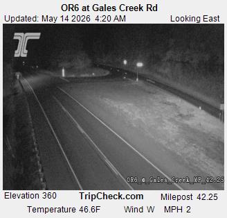
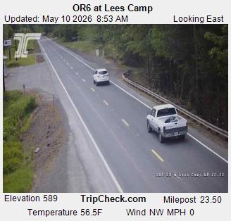
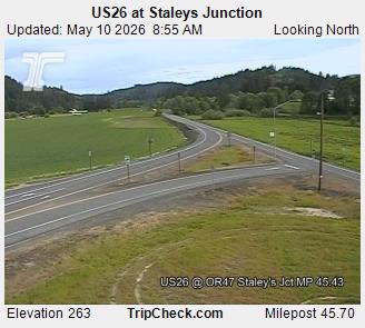
Cámaras web cerca de South Saddle Mountain

Ciudades cerca de South Saddle Mountain
- Forest Grovea 21 km
- Hillsboroa 30 km
- Bethanya 40 km
- Alohaa 40 km
- McMinnvillea 40 km
- Newberga 42 km