Tabernacle Dome
6424 ft1958 m
Montaña · Estados Unidos
Tabernacle Dome is a 6,430-foot elevation summit located in Zion National Park, in Washington County of southwest Utah, United States. Tabernacle Dome, a formation composed of Navajo Sandstone, is situated at the southeastern end of Cave Valley, 10 mi (16 km) northwest of Springdale, Utah.
De Wikipedia, CC BY-SA · Leer el artículo
En la cumbre · pronóstico para las 23:00
38 °FDespejado · viento de 6 mph del NE
 Verla en 3D
Clima en la cumbre de Tabernacle Dome, 6424 ft
- 23:0038 °FNE 6 mph–
- 2:0039 °FNE 7 mph–
- 5:0038 °FNE 7 mph–
- 8:0036 °FNE 7 mph–
- 11:0053 °FS 7 mph–
- 14:0057 °FS 9 mph–
- 17:0056 °FSO 8 mph–
- 20:0045 °FNE 4 mph–
| Día | Cielo | Máx. / mín. | Lluvia | Viento hasta |
|---|---|---|---|---|
| mar, 27 oct | Despejado | 57 °F / 36 °F | – | 9 mph |
| mié, 28 oct | Mayormente despejado | 57 °F / 36 °F | – | 8 mph |
| jue, 29 oct | Nublado | 56 °F / 37 °F | – | 10 mph |
| vie, 30 oct | Lluvia fuerte | 52 °F / 42 °F | 0,63 pulg. | 6 mph |
| sáb, 31 oct | Lluvia | 48 °F / 41 °F | 0,57 pulg. | 4 mph |
| dom, 1 nov | Lluvia | 45 °F / 34 °F | 0,56 pulg. | 6 mph |
| lun, 2 nov | Despejado | 47 °F / 28 °F | – | 8 mph |
Pronóstico de MET Norway (CC BY 4.0), actualizado a las 19:17 GMT-6. Horas locales.
Ficha técnica
- Tipo
- Montaña
- Altitud sobre el nivel del mar
- 6424 ft (1958 m)
- País
- Estados Unidos
- Coordenadas
- 37.300°N 113.094°W
- Fuente
- Wikidata, CC0
Tabernacle Dome
Mountain in the state of Utah
Tabernacle Dome is a 6,430-foot elevation summit located in Zion National Park, in Washington County of southwest Utah, United States. Tabernacle Dome, a formation composed of Navajo Sandstone, is situated at the southeastern end of Cave Valley, 10 mi (16 km) northwest of Springdale, Utah. Its nearest higher neighbor is Cave Knoll, 1.6 mi (3 km) to the north-northwest.
De Wikipedia, CC BY-SA · Leer el artículo
Picos cerca de Tabernacle Dome
- Cave Knoll6486 ft · a 2,5 kmEn el mapa
- South Guardian Angel7126 ft · a 3,1 kmEn el mapa
- North Guardian Angel7395 ft · a 3,6 kmEn el mapa
- Pine Valley Peak7395 ft · a 4,2 kmEn el mapa
- Ivins Mountain7014 ft · a 7,9 kmEn el mapa
- Altar of Sacrifice7503 ft · a 11 kmEn el mapa
- The Witch Head7340 ft · a 11 kmEn el mapa
- Meridian Tower7336 ft · a 11 kmEn el mapa
- Castle Dome7054 ft · a 12 kmEn el mapa
- Abraham Peak7014 ft · a 12 kmEn el mapa
Montañas más altas de Estados Unidos
- Denali20.308 ftEn el mapa
- Monte San Elías18.009 ftEn el mapa
- Monte Foraker17.402 ftEn el mapa
- Monte Bona16.535 ftEn el mapa
- Monte Blackburn16.390 ftEn el mapa
- Monte Sanford16.237 ftEn el mapa
- Monte Vancouver15.787 ftEn el mapa
- Monte Churchill15.636 ftEn el mapa
- Monte Fairweather15.325 ftEn el mapa
- Mount Hubbard14.951 ftEn el mapa
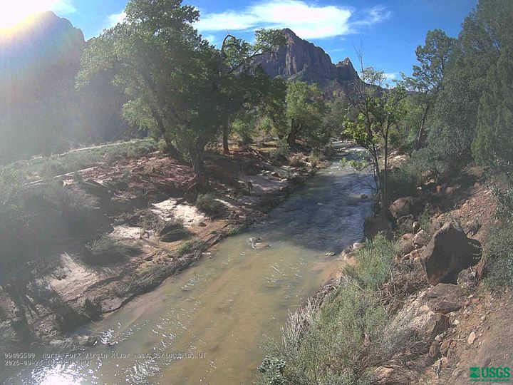
Cámaras web cerca de Tabernacle Dome
Ciudades cerca de Tabernacle Dome
- Springdalea 15 km
- Hurricanea 22 km
- Washingtona 41 km
- Cedar Citya 42 km
- St. Georgea 49 km
- Enocha 52 km