The Tooth
5604 ft1708 m
Montaña · Cordillera de las Cascadas · Estados Unidos
The Tooth is the descriptive name for a 5,606-foot-elevation (1,709-meter) fin-like, andesite pillar located in King County of Washington state. It is part of the Cascade Range and is within the Alpine Lakes Wilderness.
De Wikipedia, CC BY-SA · Leer el artículo
En la cumbre · pronóstico para las 8:00
31 °FNieve · viento de 3 mph del SO
 Verla en 3D
Clima en la cumbre de The Tooth, 5604 ft
- 8:0031 °FSO 3 mph0,03 pulg.
- 11:0032 °FSO 5 mph0,05 pulg.
- 14:0032 °FO 6 mph0,13 pulg.
- 17:0031 °FSO 9 mph0,08 pulg.
- 20:0029 °FSO 11 mph0,07 pulg.
- 23:0027 °FSO 6 mph0,28 pulg.
- 2:0026 °FS 7 mph0,09 pulg.
- 5:0026 °FSO 7 mph0,14 pulg.
| Día | Cielo | Máx. / mín. | Lluvia | Viento hasta |
|---|---|---|---|---|
| Hoy | Nieve | 33 °F / 27 °F | 0,49 pulg. | 11 mph |
| mié, 28 oct | Nieve | 28 °F / 19 °F | 0,61 pulg. | 9 mph |
| jue, 29 oct | Despejado | 34 °F / 15 °F | 0,18 pulg. | 9 mph |
| vie, 30 oct | Mayormente despejado | 29 °F / 15 °F | 0,04 pulg. | 3 mph |
| sáb, 31 oct | Nieve débil | 29 °F / 22 °F | 0,18 pulg. | 5 mph |
| dom, 1 nov | Nublado | 28 °F / 13 °F | 0,03 pulg. | 4 mph |
| lun, 2 nov | Nublado | 35 °F / 20 °F | – | 8 mph |
Pronóstico de MET Norway (CC BY 4.0), actualizado a las 02:21 GMT-7. Horas locales.
Ficha técnica
- Tipo
- Montaña
- Altitud sobre el nivel del mar
- 5604 ft (1708 m)
- Cordillera
- Cordillera de las Cascadas
- País
- Estados Unidos
- Coordenadas
- 47.446°N 121.455°W
- Fuente
- Wikidata, CC0
The Tooth (Washington)
Peak in the Cascade Range
The Tooth is the descriptive name for a 5,606-foot-elevation (1,709-meter) fin-like, andesite pillar located in King County of Washington state. It is part of the Cascade Range and is within the Alpine Lakes Wilderness. The Tooth is located northwest of Snoqualmie Pass and the Alpental ski area on land managed by Mount Baker-Snoqualmie National Forest.
De Wikipedia, CC BY-SA · Leer el artículo
Picos cerca de The Tooth
- Denny Mountain5518 ft · a 1,1 kmEn el mapa
- Chair Peak6238 ft · a 1,8 kmEn el mapa
- Snoqualmie Mountain6278 ft · a 3,2 kmEn el mapa
- Guye Peak5168 ft · a 3,5 kmEn el mapa
- Granite Mountain5630 ft · a 3,8 kmEn el mapa
- Red Mountain5890 ft · a 5 kmEn el mapa
- Bandera Mountain5245 ft · a 7,1 kmEn el mapa
- Alaska Mountain5745 ft · a 8,4 kmEn el mapa
- Monte Catherine5052 ft · a 8,5 kmEn el mapa
- Humpback Mountain5174 ft · a 8,6 kmEn el mapa
Los más altos de Cordillera de las Cascadas
- Monte Rainier14.400 ftEn el mapa
- Monte Adams12.280 ftEn el mapa
- Monte McLoughlin9495 ftEn el mapa
- Monte Thielsen9183 ftEn el mapa
- Broken Top9177 ftEn el mapa
- Black Peak8976 ftEn el mapa
- Dome Peak8921 ftEn el mapa
- Silver Star Mountain8875 ftEn el mapa
- The Tooth5604 ftEn el mapa
Montañas más altas de Estados Unidos
- Denali20.308 ftEn el mapa
- Monte San Elías18.009 ftEn el mapa
- Monte Foraker17.402 ftEn el mapa
- Monte Bona16.535 ftEn el mapa
- Monte Blackburn16.390 ftEn el mapa
- Monte Sanford16.237 ftEn el mapa
- Monte Vancouver15.787 ftEn el mapa
- Monte Churchill15.636 ftEn el mapa
- Monte Fairweather15.325 ftEn el mapa
- Mount Hubbard14.951 ftEn el mapa
Cámaras web cerca de The Tooth
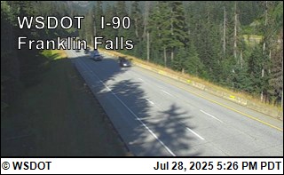
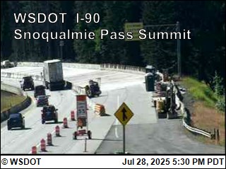
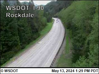
Ciudades cerca de The Tooth
- Roslyna 31 km
- Issaquaha 44 km
- Black Diamonda 45 km
- Maple Valleya 45 km
- Cle Eluma 47 km
- City of Sammamisha 47 km