The Tooth
5,604 英尺1,708 米
山 · 喀斯喀特山脉 · 美国
The Tooth is the descriptive name for a 5,606-foot-elevation (1,709-meter) fin-like, andesite pillar located in King County of Washington state. It is part of the Cascade Range and is within the Alpine Lakes Wilderness.
来自Wikipedia,CC BY-SA · 阅读文章
山顶 · 9:00 的预报
31 °F小雪 · 西风 3 英里/小时
 3D 查看
The Tooth山顶天气,5,604 英尺
- 9:0031 °F西 3 英里/小时0.02 英寸
- 12:0032 °F西 6 英里/小时0.05 英寸
- 15:0032 °F西南 6 英里/小时0.09 英寸
- 18:0029 °F西南 9 英里/小时0.06 英寸
- 21:0027 °F西南 10 英里/小时0.13 英寸
- 0:0027 °F南 4 英里/小时0.26 英寸
- 3:0026 °F南 6 英里/小时0.16 英寸
- 6:0025 °F西南 7 英里/小时0.13 英寸
| 日期 | 天气 | 最高 / 最低 | 雨 | 最大风速 |
|---|---|---|---|---|
| 今天 | 中雪 | 32 °F / 27 °F | 0.35 英寸 | 11 英里/小时 |
| 10月28日周三 | 中雪 | 29 °F / 22 °F | 0.72 英寸 | 8 英里/小时 |
| 10月29日周四 | 少云 | 34 °F / 15 °F | 0.03 英寸 | 10 英里/小时 |
| 10月30日周五 | 中雪 | 29 °F / 14 °F | 0.55 英寸 | 4 英里/小时 |
| 10月31日周六 | 晴 | 32 °F / 17 °F | – | 4 英里/小时 |
| 11月1日周日 | 多云 | 31 °F / 10 °F | 0 英寸 | 2 英里/小时 |
| 11月2日周一 | 多云 | 37 °F / 16 °F | – | 5 英里/小时 |
预报来自 MET Norway(CC BY 4.0),更新于 GMT-7 06:17。时间均为当地时间。
基本信息
The Tooth (Washington)
Peak in the Cascade Range
The Tooth is the descriptive name for a 5,606-foot-elevation (1,709-meter) fin-like, andesite pillar located in King County of Washington state. It is part of the Cascade Range and is within the Alpine Lakes Wilderness. The Tooth is located northwest of Snoqualmie Pass and the Alpental ski area on land managed by Mount Baker-Snoqualmie National Forest.
来自Wikipedia,CC BY-SA · 阅读文章
The Tooth附近的山峰
- Denny Mountain5,518 英尺 · 1.1 公里外地图上
- Chair Peak6,238 英尺 · 1.8 公里外地图上
- Snoqualmie Mountain6,278 英尺 · 3.2 公里外地图上
- Guye Peak5,168 英尺 · 3.5 公里外地图上
- Granite Mountain5,630 英尺 · 3.8 公里外地图上
- Red Mountain5,890 英尺 · 5 公里外地图上
- Bandera Mountain5,245 英尺 · 7.1 公里外地图上
- Alaska Mountain5,745 英尺 · 8.4 公里外地图上
- Mount Catherine5,052 英尺 · 8.5 公里外地图上
- Humpback Mountain5,174 英尺 · 8.6 公里外地图上
喀斯喀特山脉最高峰
- 雷尼爾山14,400 英尺地图上
- 亞當斯山12,280 英尺地图上
- 麥勞夫林山9,495 英尺地图上
- Mount Thielsen9,183 英尺地图上
- Broken Top9,177 英尺地图上
- Black Peak8,976 英尺地图上
- Dome Peak8,921 英尺地图上
- Silver Star Mountain8,875 英尺地图上
- The Tooth5,604 英尺地图上
美国最高的山
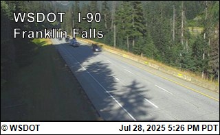
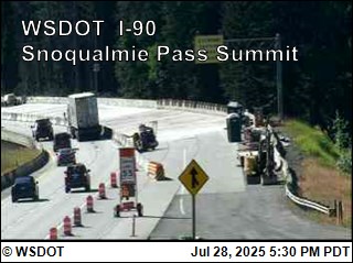
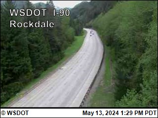
The Tooth附近的网络摄像头
The Tooth附近的城镇
- Roslyn31 公里外
- 伊瑟阔44 公里外
- Black Diamond45 公里外
- 枫树谷45 公里外
- Cle Elum47 公里外
- City of Sammamish47 公里外