Todorka
2746 m9009 ft
Montaña · Pirin · Bulgaria
Todorka is a massive peak in the Pirin Mountains of south-western Bulgaria. It is the only peak of the Todorka side ridge and has a summit elevation of 2746 m (9009 ft.) above sea level. Todorka is the 11th highest peak in Pirin and is made of granite, and although not rocky, it is steep.
De Wikipedia, CC BY-SA · Leer el artículo
En la cumbre · pronóstico para las 10:00
-5 °CMayormente despejado · viento de 10 km/h del N
 Verla en 3D
Clima en la cumbre de Todorka, 2746 m
- 10:00-5 °CN 10 km/h–
- 13:00-4 °CN 12 km/h–
- 16:00-6 °CN 11 km/h–
- 19:00-7 °CNE 5 km/h–
- 22:00-7 °CNE 6 km/h–
- 1:00-8 °CE 6 km/h–
- 4:00-7 °CE 8 km/h–
- 7:00-6 °CE 8 km/h–
| Día | Cielo | Máx. / mín. | Lluvia | Viento hasta |
|---|---|---|---|---|
| Hoy | Parcialmente nublado | -4 °C / -7 °C | – | 12 km/h |
| mié, 28 oct | Parcialmente nublado | 3 °C / -8 °C | – | 13 km/h |
| jue, 29 oct | Nublado | 4 °C / -5 °C | – | 8 km/h |
| vie, 30 oct | Nieve | -1 °C / -3 °C | 9,4 mm | 2 km/h |
| sáb, 31 oct | Parcialmente nublado | 1 °C / -2 °C | 2,4 mm | 3 km/h |
| dom, 1 nov | Nublado | -0 °C / -4 °C | 0,7 mm | 4 km/h |
| lun, 2 nov | Parcialmente nublado | -1 °C / -7 °C | – | 8 km/h |
Pronóstico de MET Norway (CC BY 4.0), actualizado a las 03:17 EET. Horas locales.
Ficha técnica
- Tipo
- Montaña
- Altitud sobre el nivel del mar
- 2746 m (9009 ft)
- Cordillera
- Pirin
- País
- Bulgaria
- Coordenadas
- 41.753°N 23.432°E
- Fuente
- Wikidata, CC0
Todorka
Summit in Blagoevgrad Province, Bulgaria
Todorka is a massive peak in the Pirin Mountains of south-western Bulgaria. It is the only peak of the Todorka side ridge and has a summit elevation of 2746 m (9009 ft.) above sea level. Todorka is the 11th highest peak in Pirin and is made of granite, and although not rocky, it is steep. It is a relatively short crest with three peaks - Golyama (Big), Sredna (Middle) and Malka (Little) Todorka.
De Wikipedia, CC BY-SA · Leer el artículo
Picos cerca de Todorka
- Banderishki Chukar2732 m · a 2,9 kmEn el mapa
- Muratov Vrah2669 m · a 3 kmEn el mapa
- Vihren2914 m · a 3,1 kmEn el mapa
- Bashliyski Chukar2683 m · a 3,6 kmEn el mapa
- Kutelo2908 m · a 3,8 kmEn el mapa
- Hvoynati Vrah2635 m · a 4,2 kmEn el mapa
- Kaymakchal2753 m · a 4,9 kmEn el mapa
- Banski Suhodol2884 m · a 4,9 kmEn el mapa
- Gazey2761 m · a 5 kmEn el mapa
- Disilitsa2700 m · a 5,4 kmEn el mapa
Los más altos de Pirin
- Vihren2914 mEn el mapa
- Polezhan2851 mEn el mapa
- Todorka2746 mEn el mapa
Montañas más altas de Bulgaria
- Musala2925 mEn el mapa
- Vihren2914 mEn el mapa
- Polezhan2851 mEn el mapa
- Todorka2746 mEn el mapa
- Malyovitsa2729 mEn el mapa
- Rilets2713 mEn el mapa
- Muratov Vrah2669 mEn el mapa
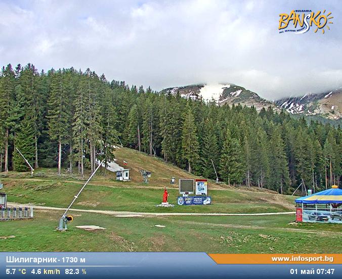
Cámaras web cerca de Todorka


Historia alrededor de Todorka
Ciudades cerca de Todorka
- Sandanskia 24 km
- Gotse Delcheva 32 km
- Blagoevgrada 40 km
- Petricha 44 km
- Velingrada 56 km
- Delčevoa 60 km