Todorka
2,746 m9,009 ft
Mountain · Pirin · Bulgaria
Todorka is a massive peak in the Pirin Mountains of south-western Bulgaria. It is the only peak of the Todorka side ridge and has a summit elevation of 2746 m (9009 ft.) above sea level. Todorka is the 11th highest peak in Pirin and is made of granite, and although not rocky, it is steep.
From Wikipedia, CC BY-SA · Read the article
At the summit · forecast for 2:00 AM
-7 °CFog · wind 11 km/h from the NW
 See it in 3D
Weather at the summit of Todorka, 2,746 m
- 2:00 AM-7 °CNW 11 km/h–
- 5:00 AM-10 °CNW 11 km/h–
- 8:00 AM-8 °CN 10 km/h–
- 11:00 AM-4 °CN 10 km/h–
- 2:00 PM-4 °CN 12 km/h–
- 5:00 PM-6 °CN 8 km/h–
- 8:00 PM-7 °CNE 5 km/h–
- 11:00 PM-8 °CE 5 km/h–
| Day | Sky | High / low | Rain | Wind up to |
|---|---|---|---|---|
| Today | Partly cloudy | -4 °C / -10 °C | – | 13 km/h |
| Wed, Oct 28 | Mostly clear | 2 °C / -8 °C | – | 12 km/h |
| Thu, Oct 29 | Partly cloudy | 3 °C / -6 °C | – | 8 km/h |
| Fri, Oct 30 | Snow | -1 °C / -3 °C | 9.4 mm | 2 km/h |
| Sat, Oct 31 | Partly cloudy | 1 °C / -2 °C | 2.4 mm | 3 km/h |
| Sun, Nov 1 | Cloudy | -0 °C / -4 °C | 0.7 mm | 4 km/h |
| Mon, Nov 2 | Partly cloudy | -1 °C / -7 °C | – | 8 km/h |
Forecast by MET Norway (CC BY 4.0), updated 01:19 AM GMT+2. Times are local.
Facts
- What it is
- Mountain
- Height above sea level
- 2,746 m (9,009 ft)
- Range
- Pirin
- Country
- Bulgaria
- Coordinates
- 41.753°N 23.432°E
- Source
- Wikidata, CC0
Todorka
Summit in Blagoevgrad Province, Bulgaria
Todorka is a massive peak in the Pirin Mountains of south-western Bulgaria. It is the only peak of the Todorka side ridge and has a summit elevation of 2746 m (9009 ft.) above sea level. Todorka is the 11th highest peak in Pirin and is made of granite, and although not rocky, it is steep. It is a relatively short crest with three peaks - Golyama (Big), Sredna (Middle) and Malka (Little) Todorka.
From Wikipedia, CC BY-SA · Read the article
Peaks near Todorka
- Banderishki Chukar2,732 m · 2.9 km awayOn the map
- Muratov Vrah2,669 m · 3 km awayOn the map
- Vihren2,914 m · 3.1 km awayOn the map
- Bashliyski Chukar2,683 m · 3.6 km awayOn the map
- Kutelo2,908 m · 3.8 km awayOn the map
- Hvoynati Vrah2,635 m · 4.2 km awayOn the map
- Kaymakchal2,753 m · 4.9 km awayOn the map
- Banski Suhodol2,884 m · 4.9 km awayOn the map
- Gazey2,761 m · 5 km awayOn the map
- Disilitsa2,700 m · 5.4 km awayOn the map
Highest in the Pirin
- Vihren2,914 mOn the map
- Polezhan2,851 mOn the map
- Todorka2,746 mOn the map
Highest mountains in Bulgaria
- Musala2,925 mOn the map
- Vihren2,914 mOn the map
- Polezhan2,851 mOn the map
- Todorka2,746 mOn the map
- Malyovitsa2,729 mOn the map
- Rilets2,713 mOn the map
- Muratov Vrah2,669 mOn the map
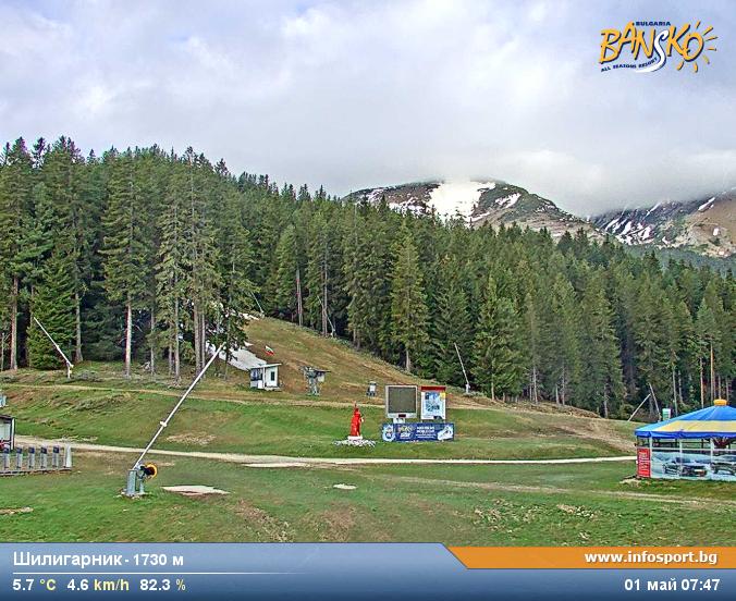
Webcams near Todorka


History around Todorka
Towns near Todorka
- Sandanski24 km away
- Gotse Delchev32 km away
- Blagoevgrad40 km away
- Petrich44 km away
- Velingrad56 km away
- Delcevo60 km away