Mountains in Bulgaria
Polezhan
2,851 m9,354 ft
Mountain · Pirin · Bulgaria
Polezhan (Bulgarian: Полежан, known pre-1942 as Mangar Tepe is a 2,851 m cone shaped high peak in the Pirin mountain range, south-western Bulgaria. It is the highest granite summit in Pirin and the fourth highest in the mountain range after the marble peaks Vihren, Kutelo and Banski Suhodol.
From Wikipedia, CC BY-SA · Read the article
At the summit · forecast for 1:00 AM
-5 °CFog · wind 8 km/h from the N
 See it in 3D
Weather at the summit of Polezhan, 2,851 m
- 1:00 AM-5 °CN 8 km/h–
- 4:00 AM-9 °CN 11 km/h–
- 7:00 AM-10 °CNW 9 km/h–
- 10:00 AM-5 °CNE 9 km/h–
- 1:00 PM-3 °CE 11 km/h–
- 4:00 PM-4 °CNE 13 km/h–
- 7:00 PM-7 °CNE 5 km/h–
- 10:00 PM-9 °CN 6 km/h–
| Day | Sky | High / low | Rain | Wind up to |
|---|---|---|---|---|
| Today | Partly cloudy | -3 °C / -10 °C | – | 13 km/h |
| Wed, Oct 28 | Mostly clear | 1 °C / -8 °C | – | 13 km/h |
| Thu, Oct 29 | Cloudy | 2 °C / -6 °C | 0.2 mm | 9 km/h |
| Fri, Oct 30 | Snow | -1 °C / -5 °C | 5.6 mm | 1 km/h |
| Sat, Oct 31 | Light snow | -3 °C / -4 °C | 12.3 mm | 3 km/h |
| Sun, Nov 1 | Heavy snow | -5 °C / -7 °C | 40.1 mm | 6 km/h |
| Mon, Nov 2 | Snow | -4 °C / -7 °C | 24.5 mm | 7 km/h |
Forecast by MET Norway (CC BY 4.0), updated 09:17 PM GMT+2. Times are local.
Facts
- What it is
- Mountain
- Height above sea level
- 2,851 m (9,354 ft)
- Range
- Pirin
- Country
- Bulgaria
- Coordinates
- 41.717°N 23.483°E
- Source
- Wikidata, CC0
Peaks near Polezhan
- Malak Polezhan2,822 m · 0.9 km awayOn the map
- Gazey2,761 m · 1.3 km awayOn the map
- Valyavishki Chukar2,664 m · 1.6 km awayOn the map
- Momin Dvor2,723 m · 1.8 km awayOn the map
- Dzhangal2,730 m · 1.9 km awayOn the map
- Kralev Dvor2,680 m · 2.4 km awayOn the map
- Bezbog2,645 m · 3 km awayOn the map
- Sivria2,591 m · 3.1 km awayOn the map
- Kaymakchal2,753 m · 3.3 km awayOn the map
- Disilitsa2,700 m · 3.6 km awayOn the map
Highest in the Pirin
- Vihren2,914 mOn the map
- Polezhan2,851 mOn the map
- Todorka2,746 mOn the map
Highest mountains in Bulgaria
- Musala2,925 mOn the map
- Vihren2,914 mOn the map
- Polezhan2,851 mOn the map
- Todorka2,746 mOn the map
- Malyovitsa2,729 mOn the map
- Rilets2,713 mOn the map
- Muratov Vrah2,669 mOn the map
Webcams near Polezhan

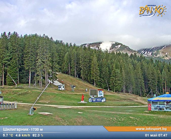

History around Polezhan
Towns near Polezhan
- Sandanski24 km away
- Gotse Delchev27 km away
- Petrich42 km away
- Blagoevgrad46 km away
- Velingrad54 km away
- Delcevo65 km away