Valyavishki Chukar
2,664 m8,740 ft
Mountain · Pirin · Bulgaria
Valyavishki Chukar is a 2,664 m high peak in the Pirin mountain range, south-western Bulgaria. It is located on the northern part of the main mountain ridge at the intersection of three cirques — Belemeto, Valyavishki and Prevalski.
From Wikipedia, CC BY-SA · Read the article
At the summit · forecast for 10:00 AM
-1 °CCloudy · wind 12 km/h from the NE
 See it in 3D
Weather at the summit of Valyavishki Chukar, 2,664 m
- 10:00 AM-1 °CNE 12 km/h–
- 1:00 PM0 °CNE 13 km/h–
- 4:00 PM1 °CNE 12 km/h–
- 7:00 PM-2 °CN 7 km/h–
- 10:00 PM-3 °CN 9 km/h–
- 1:00 AM-3 °CNE 6 km/h–
- 4:00 AM-4 °CN 8 km/h–
- 7:00 AM-3 °CNE 6 km/h–
| Day | Sky | High / low | Rain | Wind up to |
|---|---|---|---|---|
| Today | Cloudy | 1 °C / -3 °C | – | 13 km/h |
| Thu, Oct 29 | Cloudy | 4 °C / -4 °C | – | 9 km/h |
| Fri, Oct 30 | Snow | -0 °C / -1 °C | 8.5 mm | 5 km/h |
| Sat, Oct 31 | Heavy snow | -1 °C / -4 °C | 8 mm | 3 km/h |
| Sun, Nov 1 | Snow | -2 °C / -4 °C | 9.1 mm | 4 km/h |
| Mon, Nov 2 | Snow | -3 °C / -4 °C | 20.1 mm | 5 km/h |
| Tue, Nov 3 | Snow | -4 °C / -4 °C | 18.6 mm | 6 km/h |
Forecast by MET Norway (CC BY 4.0), updated 07:21 AM GMT+2. Times are local.
Facts
- What it is
- Mountain
- Height above sea level
- 2,664 m (8,740 ft)
- Range
- Pirin
- Country
- Bulgaria
- Coordinates
- 41.703°N 23.477°E
- Source
- Wikidata, CC0
Valyavishki Chukar
Bulgarian mountain peak
Valyavishki Chukar is a 2,664 m high peak in the Pirin mountain range, south-western Bulgaria. It is located on the northern part of the main mountain ridge at the intersection of three cirques — Belemeto, Valyavishki and Prevalski. To the southwest along the main ridge there is a lower unnamed summit linked with a shallow rugged saddle as seen from the Tevno Lake.
From Wikipedia, CC BY-SA · Read the article
Peaks near Valyavishki Chukar
- Dzhangal2,730 m · 0.6 km awayOn the map
- Momin Dvor2,723 m · 1.2 km awayOn the map
- Kralev Dvor2,680 m · 1.6 km awayOn the map
- Polezhan2,851 m · 1.6 km awayOn the map
- Kamenitsa Peak2,822 m · 2.3 km awayOn the map
- Malak Polezhan2,822 m · 2.5 km awayOn the map
- Gazey2,761 m · 2.9 km awayOn the map
- Dzhano2,685 m · 3.3 km awayOn the map
- Sivria2,591 m · 3.4 km awayOn the map
- Yalovarnika2,763 m · 3.5 km awayOn the map
Highest in the Pirin
- Vihren2,914 mOn the map
- Polezhan2,851 mOn the map
- Todorka2,746 mOn the map
- Valyavishki Chukar2,664 mOn the map
Highest mountains in Bulgaria
- Musala2,925 mOn the map
- Vihren2,914 mOn the map
- Polezhan2,851 mOn the map
- Todorka2,746 mOn the map
- Malyovitsa2,729 mOn the map
- Rilets2,713 mOn the map
- Muratov Vrah2,669 mOn the map
- Valyavishki Chukar2,664 mOn the map
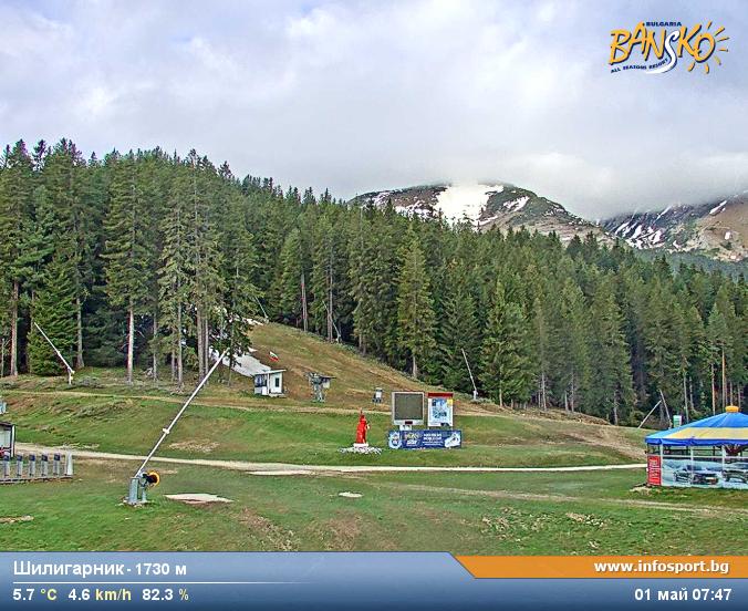
Webcams near Valyavishki Chukar


History around Valyavishki Chukar
Towns near Valyavishki Chukar
- Sandanski22 km away
- Gotse Delchev26 km away
- Petrich41 km away
- Blagoevgrad47 km away
- Velingrad56 km away
- Delcevo66 km away