Tomyhoi Peak
7439 ft2267 m
Montaña · Cascadas del Norte · Estados Unidos
Tomyhoi Peak is a 7,439-foot (2,267-metre) Skagit Range mountain situated one mile south of the Canada–United States border, in the North Cascades of Washington state. It is located west of Mount Larrabee and within the Mount Baker Wilderness, which is part of the Mount Baker-Snoqualmie National Forest.
De Wikipedia, CC BY-SA · Leer el artículo
En la cumbre · pronóstico para las 19:00
22 °FNieve débil · viento de 3 mph del S
 Verla en 3D
Clima en la cumbre de Tomyhoi Peak, 7439 ft
- 19:0022 °FS 3 mph0,02 pulg.
- 22:0021 °FSE 4 mph0,28 pulg.
- 1:0020 °FSE 4 mph0,11 pulg.
- 4:0019 °FS 3 mph0,04 pulg.
- 7:0017 °FS 3 mph–
- 10:0021 °FS 3 mph0,01 pulg.
- 13:0023 °FSO 4 mph0,04 pulg.
- 16:0023 °FSO 3 mph0,01 pulg.
| Día | Cielo | Máx. / mín. | Lluvia | Viento hasta |
|---|---|---|---|---|
| mié, 28 oct | Nieve | 23 °F / 12 °F | 0,33 pulg. | 5 mph |
| jue, 29 oct | Parcialmente nublado | 28 °F / 11 °F | 0,04 pulg. | 6 mph |
| vie, 30 oct | Nieve | 22 °F / 8 °F | 0,15 pulg. | 5 mph |
| sáb, 31 oct | Parcialmente nublado | 24 °F / 6 °F | – | 4 mph |
| dom, 1 nov | Parcialmente nublado | 24 °F / 8 °F | – | 1 mph |
| lun, 2 nov | Parcialmente nublado | 32 °F / 14 °F | – | 2 mph |
| mar, 3 nov | Nieve | 27 °F / 16 °F | 0,05 pulg. | 3 mph |
Pronóstico de MET Norway (CC BY 4.0), actualizado a las 16:18 GMT-7. Horas locales.
Ficha técnica
- Tipo
- Montaña
- Altitud sobre el nivel del mar
- 7439 ft (2267 m)
- Cordillera
- Cascadas del Norte
- País
- Estados Unidos
- Coordenadas
- 48.975°N 121.709°W
- Fuente
- Wikidata, CC0
Tomyhoi Peak
Mountain in Washington (state), United States
Tomyhoi Peak is a 7,439-foot (2,267-metre) Skagit Range mountain situated one mile south of the Canada–United States border, in the North Cascades of Washington state. It is located west of Mount Larrabee and within the Mount Baker Wilderness, which is part of the Mount Baker-Snoqualmie National Forest. This mountain's toponym was officially adopted in 1913 by the U.S. Board on Geographic Names.
De Wikipedia, CC BY-SA · Leer el artículo
Picos cerca de Tomyhoi Peak
- Canadian Border Peak7516 ft · a 3,9 kmEn el mapa
- American Border Peak7998 ft · a 3,9 kmEn el mapa
- Mount Larrabee7865 ft · a 4,5 kmEn el mapa
- Slesse Mountain8002 ft · a 10 kmEn el mapa
- Mount Sefrit7191 ft · a 12 kmEn el mapa
- Mount Shuksan9127 ft · a 18 kmEn el mapa
- Nooksack Tower8285 ft · a 18 kmEn el mapa
- Copper Mountain7142 ft · a 18 kmEn el mapa
- Ruth Mountain7115 ft · a 18 kmEn el mapa
- Icy Peak7073 ft · a 20 kmEn el mapa
Los más altos de Cascadas del Norte
- Glacier Peak10.541 ftEn el mapa
- Bonanza Peak9516 ftEn el mapa
- Goode Mountain9206 ftEn el mapa
- Buckner Mountain9114 ftEn el mapa
- Mount Logan9087 ftEn el mapa
- Eldorado Peak8868 ftEn el mapa
- Forbidden Peak8815 ftEn el mapa
- Clark Mountain8602 ftEn el mapa
- Tomyhoi Peak7439 ftEn el mapa
Montañas más altas de Estados Unidos
- Denali20.308 ftEn el mapa
- Monte San Elías18.009 ftEn el mapa
- Monte Foraker17.402 ftEn el mapa
- Monte Bona16.535 ftEn el mapa
- Monte Blackburn16.390 ftEn el mapa
- Monte Sanford16.237 ftEn el mapa
- Monte Vancouver15.787 ftEn el mapa
- Monte Churchill15.636 ftEn el mapa
- Monte Fairweather15.325 ftEn el mapa
- Mount Hubbard14.951 ftEn el mapa
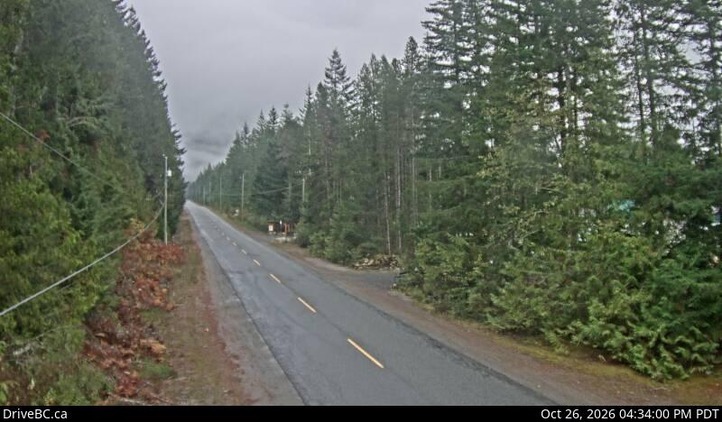
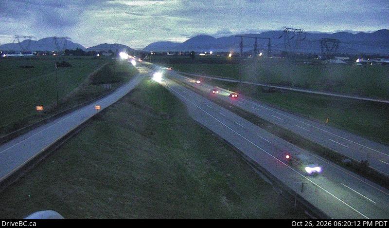
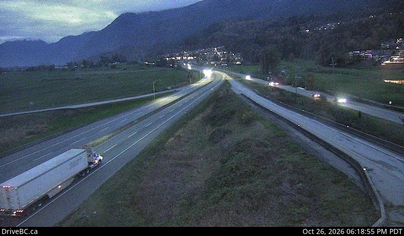
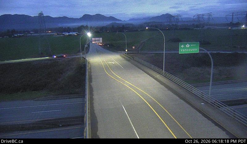
Cámaras web cerca de Tomyhoi Peak
Historia alrededor de Tomyhoi Peak
Ciudades cerca de Tomyhoi Peak
- Chilliwacka 28 km
- Abbotsforda 41 km
- Missiona 47 km
- Lyndena 55 km
- Bellinghama 62 km
- Sedro-Woolleya 64 km