Tomyhoi Peak
7 439 ft2 267 m
Montagne · North Cascades · États-Unis
Tomyhoi Peak is a 7,439-foot (2,267-metre) Skagit Range mountain situated one mile south of the Canada–United States border, in the North Cascades of Washington state. It is located west of Mount Larrabee and within the Mount Baker Wilderness, which is part of the Mount Baker-Snoqualmie National Forest.
Source : Wikipedia, CC BY-SA · Lire l’article
Au sommet · prévision pour 16:00
24 °FNeige forte · vent 4 mph du S
 Voir en 3D
Météo au sommet : Tomyhoi Peak, 7 439 ft
- 16:0024 °FS 4 mph0,33 po
- 19:0021 °FS 3 mph0,02 po
- 22:0020 °FSE 4 mph0,32 po
- 1:0019 °FSE 3 mph0,12 po
- 4:0019 °FS 3 mph0,02 po
- 7:0017 °FSE 4 mph0,02 po
- 10:0021 °FSE 3 mph0,02 po
- 13:0022 °FSO 3 mph0,05 po
| Jour | Ciel | Max. / min. | Pluie | Vent jusqu’à |
|---|---|---|---|---|
| mer. 28 oct. | Neige | 23 °F / 9 °F | 0,34 po | 6 mph |
| jeu. 29 oct. | Nuageux | 27 °F / 9 °F | 0,08 po | 6 mph |
| ven. 30 oct. | Neige forte | 22 °F / 7 °F | 0,39 po | 4 mph |
| sam. 31 oct. | Partiellement nuageux | 24 °F / 6 °F | – | 4 mph |
| dim. 1 nov. | Plutôt dégagé | 22 °F / 4 °F | – | 1 mph |
| lun. 2 nov. | Nuageux | 31 °F / -0 °F | – | 4 mph |
| mar. 3 nov. | Nuageux | 31 °F / 14 °F | – | 2 mph |
Prévisions de MET Norway (CC BY 4.0), mises à jour à 10:17 UTC−7. Heures locales.
Fiche technique
- Type
- Montagne
- Altitude
- 7 439 ft (2 267 m)
- Massif
- North Cascades
- Pays
- États-Unis
- Coordonnées
- 48.975°N 121.709°W
- Source
- Wikidata, CC0
Tomyhoi Peak
Mountain in Washington (state), United States
Tomyhoi Peak is a 7,439-foot (2,267-metre) Skagit Range mountain situated one mile south of the Canada–United States border, in the North Cascades of Washington state. It is located west of Mount Larrabee and within the Mount Baker Wilderness, which is part of the Mount Baker-Snoqualmie National Forest. This mountain's toponym was officially adopted in 1913 by the U.S. Board on Geographic Names.
Source : Wikipedia, CC BY-SA · Lire l’article
Sommets près de Tomyhoi Peak
- Canadian Border Peak7 516 ft · à 3,9 kmSur la carte
- American Border Peak7 998 ft · à 3,9 kmSur la carte
- Mount Larrabee7 865 ft · à 4,5 kmSur la carte
- Slesse Mountain8 002 ft · à 10 kmSur la carte
- Mount Sefrit7 191 ft · à 12 kmSur la carte
- mont Shuksan9 127 ft · à 18 kmSur la carte
- Nooksack Tower8 285 ft · à 18 kmSur la carte
- Copper Mountain7 142 ft · à 18 kmSur la carte
- Ruth Mountain7 115 ft · à 18 kmSur la carte
- Icy Peak7 073 ft · à 20 kmSur la carte
Les plus hauts : North Cascades
- pic Glacier10 541 ftSur la carte
- pic Bonanza9 516 ftSur la carte
- Goode Mountain9 206 ftSur la carte
- Buckner Mountain9 114 ftSur la carte
- mont Logan9 087 ftSur la carte
- Eldorado Peak8 868 ftSur la carte
- Forbidden Peak8 815 ftSur la carte
- Clark Mountain8 602 ftSur la carte
- Tomyhoi Peak7 439 ftSur la carte
Plus hautes montagnes : États-Unis
- Denali20 308 ftSur la carte
- mont Saint-Élie18 009 ftSur la carte
- mont Foraker17 402 ftSur la carte
- mont Bona16 535 ftSur la carte
- mont Blackburn16 390 ftSur la carte
- mont Sanford16 237 ftSur la carte
- mont Vancouver15 787 ftSur la carte
- mont Churchill15 636 ftSur la carte
- mont Fairweather15 325 ftSur la carte
- mont Hubbard14 951 ftSur la carte
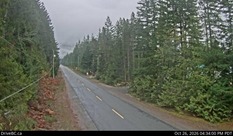
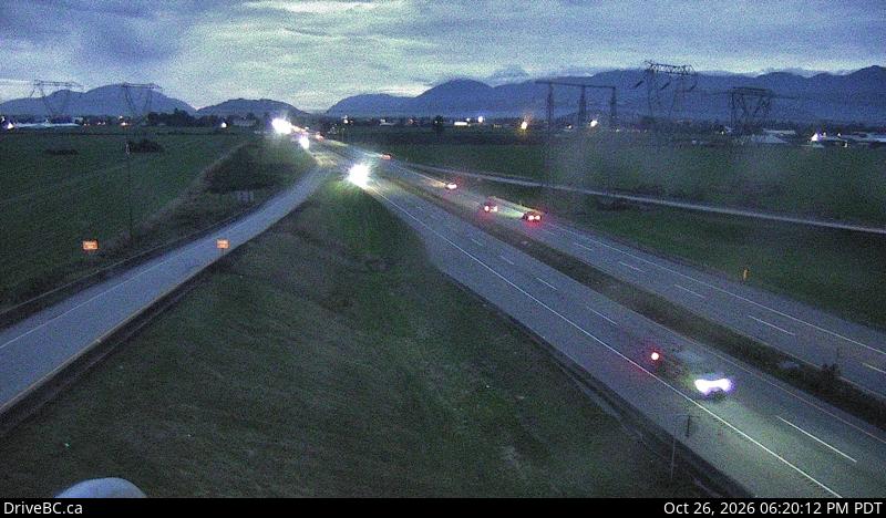
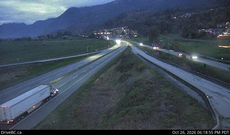
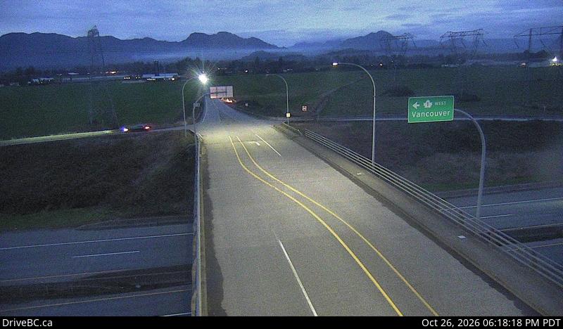
Webcams près de Tomyhoi Peak
Histoire autour de Tomyhoi Peak
Villes près de Tomyhoi Peak
- Chilliwackà 28 km
- Abbotsfordà 41 km
- Missionà 47 km
- Lyndenà 55 km
- Bellinghamà 62 km
- Sedro-Woolleyà 64 km