Waiontha Mountain
Montaña · Estados Unidos
Waiontha Mountain is a small mountain chain in the Central New York Region of New York. It is made of two main elevations the tallest being 1,972 feet (601 m). It is located in the Town of Springfield, east of Richfield Springs and north of Allen Lake. Wilders Hill is located northwest of Waiontha Mountain.
De Wikipedia, CC BY-SA · Leer el artículo
En la cumbre · pronóstico para las 9:00
42 °FParcialmente nublado · viento de 8 mph del S
Pronóstico del tiempo en Waiontha Mountain
- 9:0042 °FS 8 mph–
- 12:0054 °FSO 8 mph–
- 15:0060 °FS 8 mph–
- 18:0051 °FS 7 mph–
- 21:0051 °FSO 11 mph–
- 0:0047 °FSO 13 mph–
- 3:0046 °FSO 13 mph–
- 6:0045 °FSO 13 mph–
| Día | Cielo | Máx. / mín. | Lluvia | Viento hasta |
|---|---|---|---|---|
| Hoy | Parcialmente nublado | 60 °F / 42 °F | – | 13 mph |
| jue, 29 oct | Despejado | 64 °F / 45 °F | – | 17 mph |
| vie, 30 oct | Nublado | 56 °F / 44 °F | 0,04 pulg. | 19 mph |
| sáb, 31 oct | Nublado | 47 °F / 37 °F | – | 13 mph |
| dom, 1 nov | Despejado | 57 °F / 36 °F | – | 4 mph |
| lun, 2 nov | Nublado | 61 °F / 40 °F | – | 6 mph |
| mar, 3 nov | Lluvia débil | 61 °F / 47 °F | 0,32 pulg. | 17 mph |
Pronóstico de MET Norway (CC BY 4.0), actualizado a las 05:22 GMT-4. Horas locales.
Ficha técnica
- Tipo
- Montaña
- País
- Estados Unidos
- Coordenadas
- 42.842°N 74.950°W
- Fuente
- Wikidata, CC0
Waiontha Mountain
Mountain in New York, United States
Waiontha Mountain is a small mountain chain in the Central New York Region of New York. It is made of two main elevations the tallest being 1,972 feet (601 m). It is located in the Town of Springfield, east of Richfield Springs and north of Allen Lake. Wilders Hill is located northwest of Waiontha Mountain. Several lakes are at the base of the mountain.
De Wikipedia, CC BY-SA · Leer el artículo
Picos cerca de Waiontha Mountain
- Mount Jefferson2738 ft · a 50 kmEn el mapa
- Mohegan HillMontaña · a 1,6 kmEn el mapa
- Rum HillMontaña · a 4,5 kmEn el mapa
- Metcalf HillMontaña · a 6,8 kmEn el mapa
- Mount WellingtonMontaña · a 7,5 kmEn el mapa
- Red House HillMontaña · a 8,7 kmEn el mapa
- Panther MountainMontaña · a 8,9 kmEn el mapa
- Mount OvisMontaña · a 14 kmEn el mapa
- Tunnicliff HillMontaña · a 14 kmEn el mapa
- Vickerman HillMontaña · a 16 kmEn el mapa
Montañas más altas de Estados Unidos
- Denali20.308 ftEn el mapa
- Monte San Elías18.009 ftEn el mapa
- Monte Foraker17.402 ftEn el mapa
- Monte Bona16.535 ftEn el mapa
- Monte Blackburn16.390 ftEn el mapa
- Monte Sanford16.237 ftEn el mapa
- Monte Vancouver15.787 ftEn el mapa
- Monte Churchill15.636 ftEn el mapa
- Monte Fairweather15.325 ftEn el mapa
- Mount Hubbard14.951 ftEn el mapa
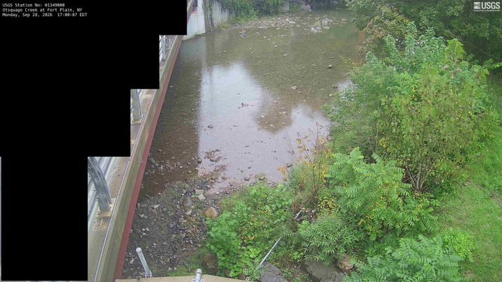
Cámaras web cerca de Waiontha Mountain



Historia alrededor de Waiontha Mountain
- 2026 Long Island Rail Road strike2026
- Sullivan Expedition1779
- Cherry Valley massacre1778
- Killing of Sam Nordquist2025
- 2022 monkeypox outbreak in New York2022
- New York Governor Andrew Cuomo announces that eight hospitals will be built as the number of cases in New York surge2020
- George Floyd protests in New York2020
- Herkimer County shootings2013
Ciudades cerca de Waiontha Mountain
- Herkimera 21 km
- Fort Plaina 28 km
- St. Johnsvillea 28 km
- Palatine Bridgea 31 km
- Uticaa 37 km
- Yorkvillea 40 km