Red House Hill
Montaña · Estados Unidos
Red House Hill is a mountain in the Central New York Region of the State of New York, United States. It is located south-southwest of the Hamlet of Springfield Center, New York, west of Hutter Point and Six Mile Point of Otsego Lake, and southeast of Rum Hill.
De Wikipedia, CC BY-SA · Leer el artículo
En la cumbre · pronóstico para las 22:00
40 °FDespejado · viento de 4 mph del NO
Pronóstico del tiempo en Red House Hill
- 22:0040 °FNO 4 mph–
- 1:0038 °FNE 2 mph–
- 4:0037 °FSE 4 mph–
- 7:0038 °FSE 5 mph–
- 10:0048 °FS 6 mph–
- 13:0058 °FSO 8 mph–
- 16:0060 °FS 7 mph–
- 19:0051 °FS 8 mph–
| Día | Cielo | Máx. / mín. | Lluvia | Viento hasta |
|---|---|---|---|---|
| mié, 28 oct | Parcialmente nublado | 60 °F / 37 °F | – | 12 mph |
| jue, 29 oct | Despejado | 65 °F / 46 °F | – | 17 mph |
| vie, 30 oct | Nublado | 56 °F / 47 °F | 0,02 pulg. | 19 mph |
| sáb, 31 oct | Nublado | 48 °F / 39 °F | – | 13 mph |
| dom, 1 nov | Despejado | 59 °F / 37 °F | – | 4 mph |
| lun, 2 nov | Nublado | 63 °F / 41 °F | – | 6 mph |
| mar, 3 nov | Lluvia débil | 63 °F / 48 °F | 0,32 pulg. | 17 mph |
Pronóstico de MET Norway (CC BY 4.0), actualizado a las 21:17 GMT-4. Horas locales.
Ficha técnica
- Tipo
- Montaña
- País
- Estados Unidos
- Coordenadas
- 42.771°N 74.905°W
- Fuente
- Wikidata, CC0
Red House Hill
Mountain in New York, US
Red House Hill is a mountain in the Central New York Region of the State of New York, United States. It is located south-southwest of the Hamlet of Springfield Center, New York, west of Hutter Point and Six Mile Point of Otsego Lake, and southeast of Rum Hill. Mohican Brook flows eastward along the southern edge of the hill.
De Wikipedia, CC BY-SA · Leer el artículo
Picos cerca de Red House Hill
- Mount Jefferson2738 ft · a 42 kmEn el mapa
- Mount Warren2890 ft · a 53 kmEn el mapa
- Irish Mountain3064 ft · a 57 kmEn el mapa
- Rum HillMontaña · a 4,5 kmEn el mapa
- Mount OvisMontaña · a 6,5 kmEn el mapa
- Panther MountainMontaña · a 7,6 kmEn el mapa
- Mohegan HillMontaña · a 8,3 kmEn el mapa
- Waiontha MountainMontaña · a 8,7 kmEn el mapa
- Cornish HillMontaña · a 13 kmEn el mapa
- Klock HillMontaña · a 20 kmEn el mapa
Montañas más altas de Estados Unidos
- Denali20.308 ftEn el mapa
- Monte San Elías18.009 ftEn el mapa
- Monte Foraker17.402 ftEn el mapa
- Monte Bona16.535 ftEn el mapa
- Monte Blackburn16.390 ftEn el mapa
- Monte Sanford16.237 ftEn el mapa
- Monte Vancouver15.787 ftEn el mapa
- Monte Churchill15.636 ftEn el mapa
- Monte Fairweather15.325 ftEn el mapa
- Mount Hubbard14.951 ftEn el mapa
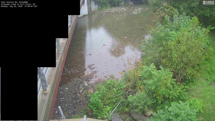
Cámaras web cerca de Red House Hill


Historia alrededor de Red House Hill
Ciudades cerca de Red House Hill
- Fort Plaina 29 km
- Herkimera 29 km
- Palatine Bridgea 31 km
- St. Johnsvillea 32 km
- Cobleskilla 36 km
- Oneontaa 38 km