Red House Hill
山 · アメリカ合衆国
Red House Hill is a mountain in the Central New York Region of the State of New York, United States. It is located south-southwest of the Hamlet of Springfield Center, New York, west of Hutter Point and Six Mile Point of Otsego Lake, and southeast of Rum Hill.
出典: Wikipedia、CC BY-SA · 記事を読む
山頂 · 4:00 の予報
37 °F晴れ時々曇り · 南東の風 4 mph
Red House Hillの天気予報
- 4:0037 °F南東 4 mph–
- 7:0038 °F南東 5 mph–
- 10:0048 °F南 6 mph–
- 13:0058 °F南西 8 mph–
- 16:0060 °F南 7 mph–
- 19:0051 °F南 8 mph–
- 22:0050 °F南西 11 mph–
- 1:0048 °F南西 13 mph–
| 日付 | 天気 | 最高 / 最低 | 雨 | 最大風速 |
|---|---|---|---|---|
| 今日 | 晴れ時々曇り | 60 °F / 37 °F | – | 12 mph |
| 10月29日(木) | 快晴 | 65 °F / 46 °F | – | 17 mph |
| 10月30日(金) | 曇り | 56 °F / 47 °F | 0.02 インチ | 19 mph |
| 10月31日(土) | 曇り | 48 °F / 39 °F | – | 13 mph |
| 11月1日(日) | 快晴 | 59 °F / 37 °F | – | 4 mph |
| 11月2日(月) | 曇り | 63 °F / 41 °F | – | 6 mph |
| 11月3日(火) | 小雨 | 63 °F / 48 °F | 0.32 インチ | 17 mph |
MET Norway(CC BY 4.0)による予報。21:17 GMT-4 更新。時刻は現地時間です。
基本データ
- 種類
- 山
- 座標
- 42.771°N 74.905°W
Red House Hill
Mountain in New York, US
Red House Hill is a mountain in the Central New York Region of the State of New York, United States. It is located south-southwest of the Hamlet of Springfield Center, New York, west of Hutter Point and Six Mile Point of Otsego Lake, and southeast of Rum Hill. Mohican Brook flows eastward along the southern edge of the hill.
出典: Wikipedia、CC BY-SA · 記事を読む
Red House Hill周辺の山
- Mount Jefferson2,738 ft · 42 km先地図上
- Mount Warren2,890 ft · 53 km先地図上
- Irish Mountain3,064 ft · 57 km先地図上
- Rum Hill山 · 4.5 km先地図上
- Mount Ovis山 · 6.5 km先地図上
- Panther Mountain山 · 7.6 km先地図上
- Mohegan Hill山 · 8.3 km先地図上
- Waiontha Mountain山 · 8.7 km先地図上
- Cornish Hill山 · 13 km先地図上
- Klock Hill山 · 20 km先地図上
アメリカ合衆国の高い山
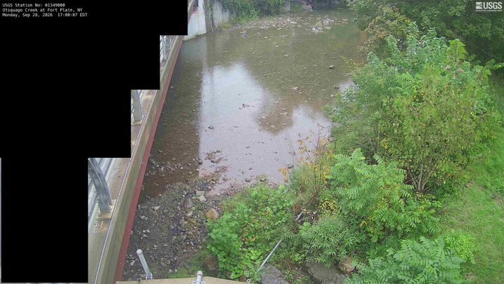
Red House Hill周辺のライブカメラ


Red House Hill周辺の歴史
Red House Hill周辺の町
- Fort Plain29 km先
- Herkimer29 km先
- Palatine Bridge31 km先
- St. Johnsville32 km先
- Cobleskill36 km先
- Oneonta38 km先